Alder Springs C.G.
Campground
Campground · 5.7 mi from the trail
Closure in the area
There's a closure order in Willamette National Forest. It doesn't name Separation Meadow, so check the source for the area it covers.
Cedar Creek Fire Closure
Agency closure covering Willamette National Forest · Order 06-18-10-26-04 · USFS · Willamette National Forest
FIRE CLOSURES: Current wildfire closures on the Willamette National Forest
Agency alert covering Willamette National Forest · USFS · Willamette National Forest
As of · Source: USFS · Willamette National Forest. Agencies don't list every closure — check before you go.
Separation Meadow is a moderate out-and-back hike in Oregon's Three Sisters Wilderness, within the McKenzie River Ranger District of the Willamette National Forest. The trail is about 4.7 miles long, with a total elevation gain of 1,605 feet, and it reaches a high point of 6,121 feet. The route is natural-surface and allows horses, and it is managed by the Forest Service. The climb is steepest around the 1.9-mile mark, where the grade reaches about 18 percent. The trip takes roughly 2.5 hours and is open year-round. James Creek lies just 0.1 mile away, and Eileen Lake and Linton Meadows are both within about 2 miles. For an overnight stay, Alder Springs Campground is about 5.8 miles off.
Alder Springs C.G.
Campground
Takoda's
Restaurant
Clearwater Gallery
Gallery
Places © OpenStreetMap contributors
More in SistersNot on Roamze yet. Their page has how to reach them.
 Photo: Forest Service Pacific Northwest Region, Public Domain Mark (via Flickr)
Substitute Point
~5 min drive
1.40-mile out-and-back trail at Substitute Point in Oregon, 451 ft gain.
 Photo: Don Henise, CC BY 2.0 (via Flickr)
Camp Lake
~7 min drive
10-mile out-and-back trail to Camp Lake in Oregon with 249 ft gain.
 Photo: inkknife_2000 (7.5 million views +), CC BY-SA 2.0 (via Wikimedia Commons)
Linton Lake
~8 min drive
3.32-mile out-and-back trail to Linton Lake in Oregon with 653 ft gain.
HIKE
Separation Lake Trail #3536
~12 min drive
15.88-mile out-and-back trail in Oregon with 3,412 ft elevation gain
 Photo: owen galen jones, CC BY-SA 2.0 (via Flickr)
Golden Lake Old Trail
~9 min drive
0.59-mile out-and-back trail at Golden Lake with 25 ft gain and 216 ft loss.
 Photo: Robert Ashworth from Bellingham, WA., USA, CC BY 2.0 (via Wikimedia Commons)
Foley Ridge
~10 min drive
15.60-mile out-and-back trail in Oregon with 2,433 ft elevation gain
 Photo: bzo, CC BY-SA 2.0 (via Flickr)
South Sister Climber
~9 min drive
South Sister Climber is a 3.60-mile out-and-back trail in Oregon with 802 ft of elevation gain.
HIKE
SEPARATION LAKE
~12 min drive
16.2-mile out-and-back trail to Separation Lake in Oregon with 3,492 ft elevation gain
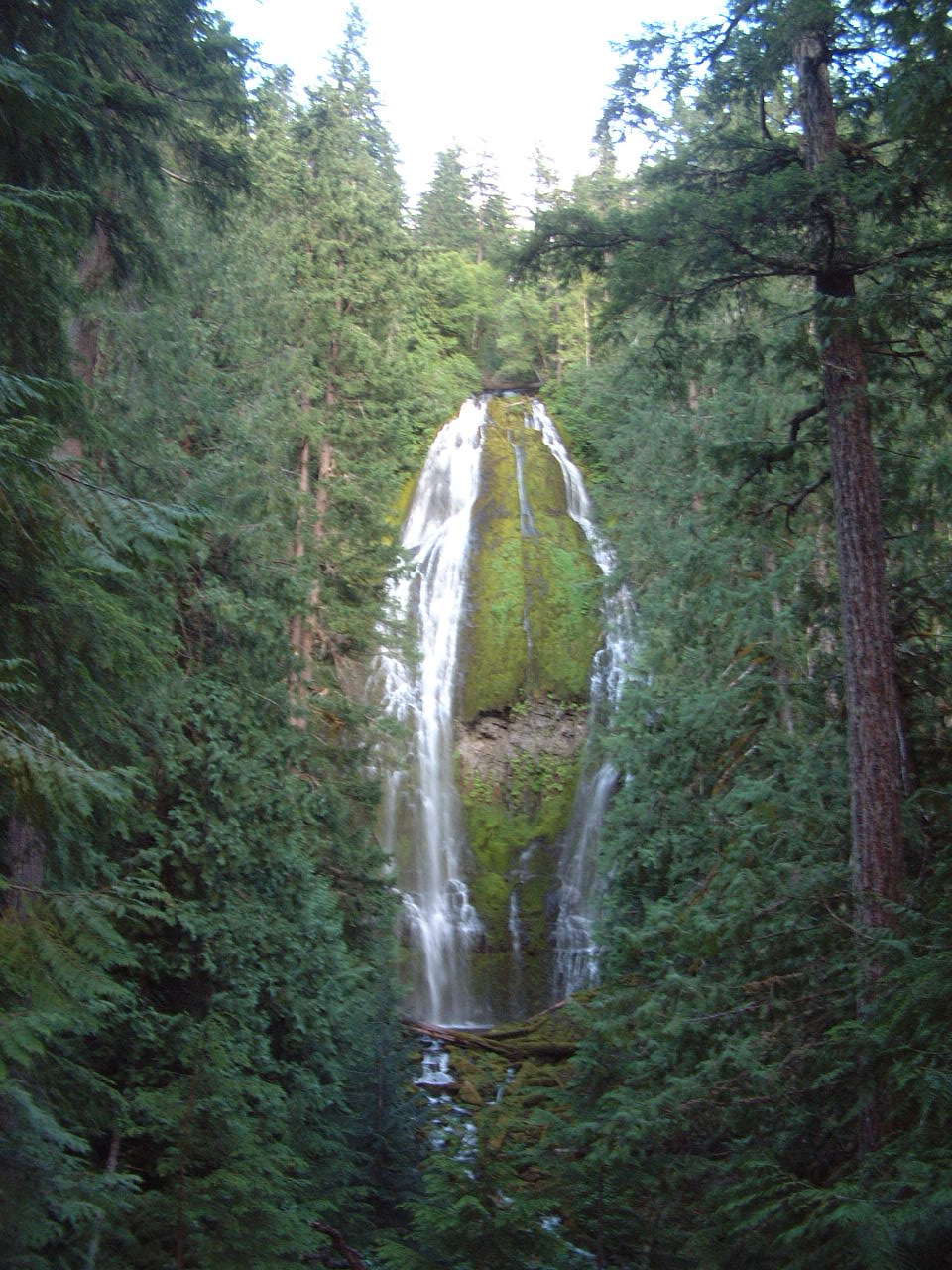
Photo: Robert Ashworth from Bellingham, WA., USA, CC BY 2.0 (via Wikimedia Commons)Proxy Falls Trail #3532
~10 min drive
1.72-mile out-and-back trail with 451 ft gain in Oregon
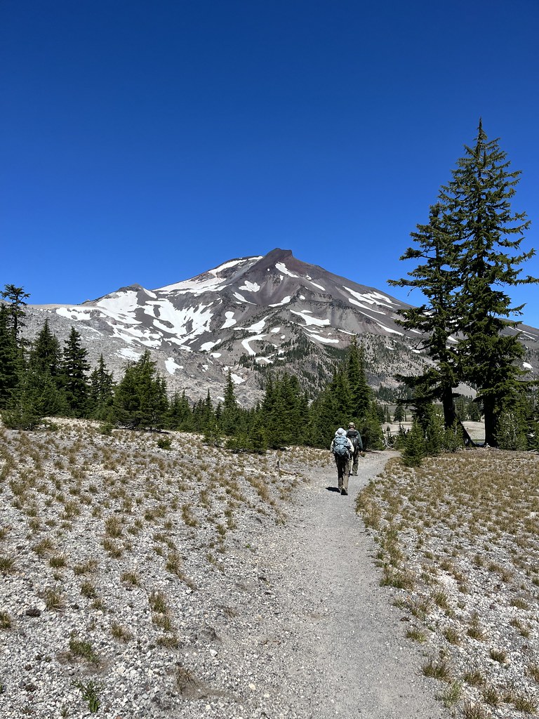 Photo: Forest Service Pacific Northwest Region, Public Domain Mark (via Flickr)
Broken Top Northwest Ridge Route
~10 min drive
1.62-mile out-and-back trail to Broken Top's northwest ridge with 2,445 ft gain
Also worth it near here