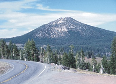
Scott Creek
- 4.2 mi
- round trip
- 1,890 ft
- climb
- 6,185 ft
- high point
- Out and back
- route
- Jun–Sep
- best months
Is SCOTT CREEK open right now?
No closures listed
The Forest Service lists no closures for Fremont-Winema National Forest.
As of · Source: USFS · Fremont-Winema National Forest. Agencies don't list every closure — check before you go.
Scott Creek is a moderate, out-and-back hike of about 8.3 miles in the Chemult Ranger District of Oregon's Fremont-Winema National Forest. The trail starts at an elevation of about 6,185 feet and climbs to a high point of 6,185 feet, which means the route is back-loaded with the bulk of the 1,890-foot total gain coming in the second half. The steepest stretch begins around 0.15 miles from the start, with a grade of about 14 percent. Summer is the most comfortable time to go. Typical averages from a nearby weather station show July and August highs around 69°F with only about four wet days a month, while winter brings highs near freezing and 18 wet days a month. The trip takes about 3.5 hours. Mount Scott Trail lies about 3 miles away, and The Pinnacles Trail and Plaikni Falls Trail are each within about 3.6 miles. Crater Lake National Park Mazama Campground is about 7.6 miles off.
Local outfitters
- Diamond Lake Resort18 mi away
- Sky Lakes Wilderness Adventures23 mi away
Not on Roamze yet. Their page has how to reach them.
Best time to go · Jun–Sep
Best time to visit SCOTT CREEK
Best months: June–September. Best months have typical highs of 55–85 °F, lows of 30 °F or warmer (32 °F where the station doesn't record snow), at most one snowy day and no more than 12 wet days.
Jan
33° / 20°
18 wet
Feb
34° / 19°
17 wet
Mar
36° / 20°
18 wet
Apr
40° / 23°
16 wet
May
49° / 29°
12 wet
Jun
57° / 34°
7 wet
Jul
69° / 41°
4 wet
Aug
69° / 42°
4 wet
Sep
63° / 37°
6 wet
Oct
51° / 30°
10 wet
Nov
38° / 23°
16 wet
Dec
33° / 19°
18 wet
Typical high / low (°F) and days with rain or snow, 1991–2020. Measured at Crater Lake Nps Hq, OR, 7.3 mi away at 6,485 ft. This station doesn't record snowfall. Source: NOAA NCEI U.S. Climate Normals 1991–2020.
Keep exploring — more trails worth the drive
 Photo: Wsultzbach, Public domain (via Wikimedia Commons)
Mount Scott Trail
~5 min drive
2.19-mile out-and-back trail in Oregon with 1,894 ft elevation gain.
 Photo: U.S. Forest Service- Pacific Northwest Region, Public domain (via Wikimedia Commons)
The Pinnacles Trail
~6 min drive
1.4-mile out-and-back trail in Oregon with 325 ft elevation gain.
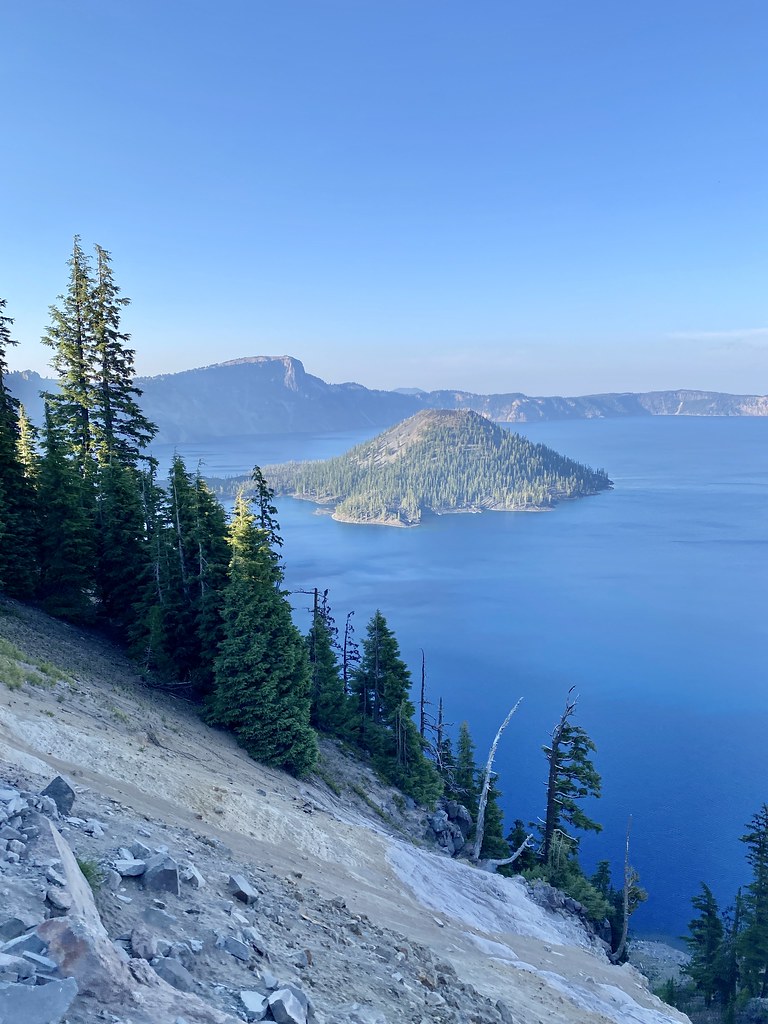 Photo: w_lemay, CC BY-SA 2.0 (via Flickr)
Rim Trail
~15 min drive
8.04-mile out-and-back trail in Oregon with 800 ft gain and 2,655 ft loss.
HIKE
Stuart Falls Trail
~23 min drive
6.40-mile out-and-back hike to Stuart Falls in Oregon with 924 ft gain.
 Photo: Šarūnas Burdulis from USA, CC BY-SA 2.0 (via Wikimedia Commons)
Discovery Point Trail
~14 min drive
2.14-mile out-and-back hike in Oregon with 1,850 ft elevation gain and loss.
 Photo: inkknife_2000 (7.5 million views +), CC BY-SA 2.0 (via Wikimedia Commons)
Plaikni Falls Trail
~6 min drive
1.01-mile out-and-back hike to Plaikni Falls in Oregon with 372 ft of elevation gain.
HIKE
Pct - Oregon Section D
~24 min drive
59.08-mile point-to-point trail in Oregon with 5,859 ft gain and 6,673 ft loss.
HIKE
DRY CREEK LOOP
~24 min drive
15.48-mile out-and-back trail in Oregon with 1,883 ft elevation gain
 Photo: Krystal.Hamlin, CC BY 2.0 (via Flickr)
Annie Creek Canyon Trail
~15 min drive
2.14-mile out-and-back hike in Annie Creek Canyon, Oregon with 845 ft gain.
 Photo: Greg Willis from Denver, CO, usa, CC BY-SA 2.0 (via Wikimedia Commons)
Sun Notch Trail
~9 min drive
0.67-mile loop trail in Oregon with 317 ft gain.