Boulder Lake
Campground
Campground · 3.4 mi from the trail
Closure in the area
There's a closure order in Barlow Ranger District. It doesn't name Rocky Butte, so check the source for the area it covers.
Closure in place for Grasshopper Fire
Agency closure covering Barlow Ranger District · Order 06-06-01-26-18 · USFS · Barlow Ranger District
Eagle Creek Fire Area Closures
Agency alert covering Mt. Hood National Forest · Order 06-22-01-26-04 · USFS · Mt. Hood National Forest
FR 4613 road damage- use caution
Agency alert covering Mt. Hood National Forest · USFS · Mt. Hood National Forest
Crane Creek bridge closed on the Barlow Road
Agency alert covering Mt. Hood National Forest · USFS · Mt. Hood National Forest
As of · Source: USFS · Barlow Ranger District. Agencies don't list every closure — check before you go.
Rocky Butte is an easy out-and-back hike in Oregon's Mt. Hood National Forest, within the Barlow Ranger District. The trail is about 1.2 miles long, with a total elevation gain of 1,024 feet, and it starts at roughly 4,117 feet, rising to a high point of about 4,772 feet. The steepest stretch comes at about 0.87 miles, where the grade reaches 26 percent. Summer is the most comfortable time to go. Typical averages from a nearby weather station in Government Camp show July and August highs around 70°F with only about four wet days a month, while winter months bring highs in the mid-30s and rain on most days. The hike takes about an hour. The Forest Service manages the land, and the trail is natural-surfaced. Boulder Lake campground is about 3.4 miles away, and Bonney Meadows is about 4.4 miles away. Rock Creek 909 and Rock Creek 906 are both within a mile.
Boulder Lake
Campground
Vertical
Restaurant
Places © OpenStreetMap contributors
More in Mount Hood VillagesNot on Roamze yet. Their page has how to reach them.
Best months: June–September. Best months have typical highs of 55–85 °F, lows of 30 °F or warmer (32 °F where the station doesn't record snow), at most one snowy day and no more than 12 wet days.
Jan
37° / 26°
20 wet
Feb
38° / 26°
17 wet
Mar
41° / 28°
20 wet
Apr
45° / 31°
18 wet
May
54° / 36°
15 wet
Jun
59° / 41°
10 wet
Jul
69° / 48°
4 wet
Aug
70° / 48°
4 wet
Sep
64° / 45°
8 wet
Oct
53° / 37°
13 wet
Nov
42° / 30°
18 wet
Dec
35° / 26°
21 wet
Typical high / low (°F) and days with rain or snow, 1991–2020. Measured at Government Camp, OR, 12.5 mi away at 3,980 ft. The station sits about 800 ft lower than this place, so expect it a little cooler here. This station doesn't record snowfall. Source: NOAA NCEI U.S. Climate Normals 1991–2020.
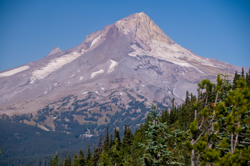 Photo: nomadsamiam, CC BY 2.0 (via Flickr)
Boulder Lake Shore
~6 min drive
1.00-mile loop trail around Boulder Lake in Oregon.
 Photo: Bark for Mt Hood, Public Domain Mark (via Flickr)
Rock Creek 911
~7 min drive
8.96-mile out-and-back trail in Oregon with 1,506 ft elevation gain.
 Photo: Ian Poellet (User:Werewombat), CC BY-SA 3.0 (via Wikimedia Commons)
Rock Creek 923
~7 min drive
3.80-mile out-and-back trail in Oregon with 752 ft elevation gain.
 Photo: U.S. Forest Service- Pacific Northwest Region, Public domain (via Wikimedia Commons)
Three Mile Trail
~6 min drive
A 4.43-mile point-to-point trail through Oregon's natural terrain.
Photo: U.S. Forest Service- Pacific Northwest Region, Public domain (via Wikimedia Commons)Boulder Creek
~8 min drive
11.60-mile out-and-back trail at Boulder Creek in Oregon with 690 ft gain.
Photo: nomadsamiam, CC BY 2.0 (via Flickr)Boulder Lake
~7 min drive
5.30-mile out-and-back trail to Boulder Lake in Oregon with 544 ft gain.
Photo: nomadsamiam, CC BY 2.0 (via Flickr)FOREST CREEK
~7 min drive
1.06-mile out-and-back trail with 541 ft gain in Oregon.
HIKE
Rock Creek 913
~3 min drive
7.20-mile out-and-back trail in Oregon with 1,021 ft elevation gain.
Photo: nomadsamiam, CC BY 2.0 (via Flickr)Crane Prairie Trail #464
~9 min drive
4.4-mile out-and-back trail in Oregon with 1,701 ft elevation gain and loss.
Photo: nomadsamiam, CC BY 2.0 (via Flickr)Bonney Meadows Trail
~7 min drive
2.38-mile point-to-point trail in Oregon with 132 ft gain and 1,746 ft loss
About 1.2 mi round trip.
About 1,024 ft of climbing round trip.
It is rated easy.
About 1.5 hours round trip.
2: Rocky Butte and Rocky Butte Trail.
Daily highs and lows, wind and the chance of precipitation at the summit and route start for the next 7 days, from the Open-Meteo model.

