Ridge Cut-Off
- 1.2 mi
- round trip
- 425 ft
- climb
- 2,920 ft
- high point
- Out and back
- route
- May–Oct
- best months
Is Ridge Cut-Off open right now?
Alert in the area
The Forest Service lists an alert for Columbia River Gorge National Scenic Area.
Eagle Creek Fire Area Closure - CRGNSA and Mt. Hood
Agency alert covering Columbia River Gorge National Scenic Area · Order 06-22-01-26-04 · USFS · Columbia River Gorge National Scenic Area
As of · Source: USFS · Columbia River Gorge National Scenic Area. Agencies don't list every closure — check before you go.
Ridge Cut-Off is an easy out-and-back hike of about a mile and a quarter, set in the Mark O. Hatfield Wilderness within the Columbia River Gorge National Scenic Area in Oregon. The Forest Service manages the land, and the trail crosses wilderness boundaries as well as the scenic area's. The route starts around 2,727 feet and climbs to a high point of about 2,920 feet, with a total gain and loss of roughly 425 feet for the round trip. The steepest stretch comes early, near the start, with a grade of about 24%, though the overall climb is gentle enough to make it a quick, low-commitment outing. Summer is the most comfortable time to go. Typical averages from a nearby weather station run to highs around 80°F and lows near 49°F in July and August, with only a couple of wet days a month. That station sits well below the trail, so temperatures on the ridge run cooler. The closest neighbors are the Nick Eaton hike and the Deadwood Trail #422, both about half a mile away. Wyeth Campground lies about 1.4 miles off, and Windy Slab, a climbing area, is roughly 2.5 miles away.
Local outfitters
- Bike the Gorge5 mi away
- Horseback Riding Adventures Oregon38 mi away
Not on Roamze yet. Their page has how to reach them.
Best time to go · May–Oct
Best time to visit Ridge Cut-Off
Best months: May–October. Best months have typical highs of 55–85 °F, lows of 30 °F or warmer (32 °F where the station doesn't record snow), at most one snowy day and no more than 12 wet days.
Jan
40° / 27°
16 wet
Feb
44° / 28°
13 wet
Mar
51° / 32°
14 wet
Apr
57° / 35°
13 wet
May
65° / 41°
10 wet
Jun
71° / 45°
6 wet
Jul
80° / 49°
2 wet
Aug
79° / 49°
3 wet
Sep
73° / 43°
5 wet
Oct
60° / 36°
11 wet
Nov
46° / 31°
17 wet
Dec
38° / 27°
17 wet
Typical high / low (°F) and days with rain or snow, 1991–2020. Measured at Parkdale 1 Nne, OR, 14.4 mi away at 1,520 ft. The station sits about 1,400 ft lower than this place, so expect it a little cooler here. This station doesn't record snowfall. Source: NOAA NCEI U.S. Climate Normals 1991–2020.
Keep exploring — more trails worth the drive
 Photo: U.S. Forest Service- Pacific Northwest Region, Public domain (via Wikimedia Commons)
Nick Eaton
Next door
8.20-mile out-and-back trail in Oregon with 3,412 ft elevation gain.
 Photo: ReinventedWheel, CC BY 2.0 (via Flickr)
Ouroboros
~1 min drive
2.00-mile out-and-back trail in Oregon with 219 ft gain and 241 ft loss.
 Photo: Forest Service Pacific Northwest Region, Public Domain Mark (via Flickr)
Peregrination
~3 min drive
3.72-mile out-and-back trail in Oregon with 518 ft gain
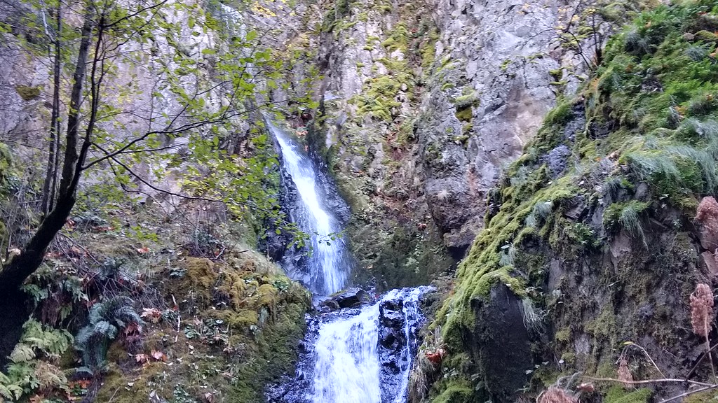 Photo: mjfmjfmjf, CC BY 2.0 (via Flickr)
Augspurger
~8 min drive
15.78-mile out-and-back trail in Oregon with 5,124 ft elevation gain.
 Photo: Robert Ashworth from Bellingham, WA., USA, CC BY 2.0 (via Wikimedia Commons)
Gorge Trail #400
~2 min drive
6.88-mile out-and-back trail in Oregon with 3,956 ft elevation gain/loss.
Photo: Forest Service Pacific Northwest Region, Public Domain Mark (via Flickr)Buteo Drop
~2 min drive
1.56-mile out-and-back trail in Oregon with 256 ft elevation gain.
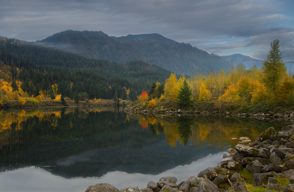 Photo: Bonnie Moreland (free images), Public Domain Mark (via Flickr)
Talus Ridge
~3 min drive
1.90-mile out-and-back trail in Oregon with 847 ft elevation gain
Photo: U.S. Forest Service- Pacific Northwest Region, Public domain (via Wikimedia Commons)Herman Creek
~2 min drive
Scenic out-and-back climb along Herman Creek in the Columbia River Gorge.
Photo: U.S. Forest Service- Pacific Northwest Region, Public domain (via Wikimedia Commons)Jokulhlaup
~2 min drive
2.00-mile out-and-back trail in Oregon with 410 ft elevation gain
Photo: Robert Ashworth from Bellingham, WA., USA, CC BY 2.0 (via Wikimedia Commons)Wind Mountain Trail
~5 min drive
2.2-mile out-and-back hike in Washington with 2,305 ft gain.
Also worth it near here
