Quartz Nordic North Loop
- 4.8 mi
- round trip
- 1,366 ft
- climb
- 5,604 ft
- high point
- Out and back
- route
- May–Jun, Sep
- best months
Is QUARTZ NORDIC NORTH LOOP open right now?
No closures listed
The Forest Service lists no closures for Fremont-Winema National Forest.
As of · Source: USFS · Fremont-Winema National Forest. Agencies don't list every closure — check before you go.
The Quartz Nordic North Loop is a moderate hike in Oregon's Fremont-Winema National Forest, on the Bly Ranger District. The out-and-back route is about 9.6 miles long, with a total elevation gain of 1,366 feet. The high point reaches 5,604 feet, and the steepest stretch comes at about the 2-mile mark, where the grade reaches 11 percent. Summer is the most comfortable time to go. Typical averages from a nearby weather station show July and August highs around 86°F with only two or three wet days a month, while winter highs stay in the low 40s. The station sits about 1,000 feet lower than the trail, so temperatures on the loop run cooler. The trip takes about four hours. The Quartz Nordic East Loop starts just 0.2 miles away, and the Quartz Mt. Nordic Trail and Main Trail South are each about half a mile off. For overnight stays, Lofton Reservoir is roughly 4.7 miles away.
Best time to go · May–Jun, Sep
Best time to visit QUARTZ NORDIC NORTH LOOP
Best months: May–June and September. Best months have typical highs of 55–85 °F, lows of 30 °F or warmer (32 °F where the station doesn't record snow), at most one snowy day and no more than 12 wet days.
Jan
42° / 21°
13 wet
Feb
46° / 23°
11 wet
Mar
51° / 26°
13 wet
Apr
57° / 29°
13 wet
May
66° / 37°
10 wet
Jun
76° / 41°
6 wet
Jul
86° / 49°
3 wet
Aug
86° / 45°
2 wet
Sep
78° / 38°
4 wet
Oct
64° / 30°
7 wet
Nov
48° / 25°
11 wet
Dec
41° / 20°
14 wet
Typical high / low (°F) and days with rain or snow, 1991–2020. Measured at Bly 4 Se, OR, 14.6 mi away at 4,560 ft. The station sits about 1,000 ft lower than this place, so expect it a little cooler here. This station doesn't record snowfall. Source: NOAA NCEI U.S. Climate Normals 1991–2020.
Keep exploring — more trails worth the drive
 Photo: Gary Halvorson, Oregon State Archives, CC BY 4.0 (via Wikimedia Commons)
QUARTZ NORDIC EAST LOOP
Next door
17.4-mile out-and-back trail in Oregon with 2,275 ft elevation gain/loss.
Photo: Gary Halvorson, Oregon State Archives, CC BY 4.0 (via Wikimedia Commons)QUARTZ VALLEY NORDIC LOOP
~2 min drive
3.35-mile loop in Oregon with 467 ft gain and 540 ft loss.
 Photo: U.S. Forest Service- Pacific Northwest Region, Public domain (via Wikimedia Commons)
Dead Cow Trail
~27 min drive
3.80-mile out-and-back trail in Oregon with 13 ft gain and 666 ft loss
HIKE
QUARTZ MTN. NORDIC TRAIL
Next door
19.96-mile out-and-back trail with 2,635 ft elevation gain and loss in Oregon.
Photo: Gary Halvorson, Oregon State Archives, CC BY 4.0 (via Wikimedia Commons)MAIN TRAIL SOUTH
Next door
27.33-mile point-to-point trail in Oregon with 1,658 ft gain and 6,029 ft max elevation.
 Photo: ex_magician, CC BY 2.0 (via Flickr)
Sprague River Spur A
~14 min drive
0.96-mile out-and-back trail at Sprague River Spur A in Oregon with 58 ft of elevation gain.
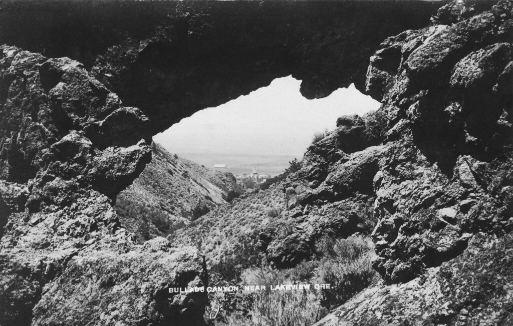 Photo: OSU Special Collections & Archives : Commons, No known copyright restrictions (via Flickr)
Bullard Canyon Trail
~45 min drive
3.33-mile out-and-back trail in Oregon with 1,315 ft gain.
HIKE
SOUTH TRAIL SIDE LOOP
~3 min drive
31.1-mile out-and-back out-and-back in Oregon with 2,650 ft elevation gain and loss.
Photo: U.S. Forest Service- Pacific Northwest Region, Public domain (via Wikimedia Commons)Lakes Loop
~27 min drive
14-mile loop trail in Oregon with 1,412 ft elevation gain.
Photo: ex_magician, CC BY 2.0 (via Flickr)Sprague River Trail
~14 min drive
0.86-mile out-and-back hike along the Sprague River in Oregon.
