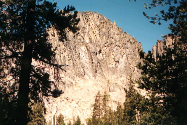
South Fork Sprague River
- 28.8 mi
- distance
- 5,936 ft
- high point
- May–Jun, Aug–Sep
- best months
Caution at last check
Agency alerts are in effect for this area; weather is good · USFS, OpenWeather · checked 21 h ago
Is South Fork Sprague River open right now?
No closures listed
The Forest Service lists no closures for Fremont-Winema National Forest.
As of · Source: USFS · Fremont-Winema National Forest. Agencies don't list every closure — check before you go.
The South Fork Sprague River is a 29-mile paddling stretch near Bly, Oregon, within the Bly Ranger District of the Fremont-Winema National Forest. It is a paddling route, not a trail, and it is intermittent. That means it may run dry in some seasons, so planning around water levels is key. The river has an average flow of about 94 cubic feet per second and a gradient of about 55.7 feet per mile, according to USGS models. Summer is the most comfortable time to paddle, with typical July highs around 86°F and lows near 48°F at the Gerber Dam weather station, which sits roughly 17.9 miles away and about 1,000 feet lower than the river. Winter is much colder, with typical January highs in the low 40s and lows around 21°F. Several other spots lie within a short drive. The Sprague River Trail and the Sprague River climbing area are each about 4 miles away, Boulder Springs is about 5.8 miles out, and Fishhole Creek, another paddling option, is about 7.5 miles away.
Local outfitters
- Yamsi Fly Fishing47 mi away
- Crater Lake Zipline and Kayak Tours47 mi away
Not on Roamze yet. Their page has how to reach them.
 Sprague River Spur AHikingPhoto: ex_magician, CC BY 2.0 (via Flickr)3.9 mi
- Sprague River TrailHikingPhoto: ex_magician, CC BY 2.0 (via Flickr)3.9 mi
- Sprague RiverRock climbing4 mi
- Boulder SpringsHiking5.8 mi
- Corral CreekCamping7.1 mi
- Fishhole CreekCanoeing7.5 mi
- North Fork Sprague RiverCanoeing9.5 mi
- Holbrook ReservoirCamping9.6 mi
Source: Roamze catalog (indexable pages within 10 miles, PostGIS distance)
 Williamson RiverCanoeing · ~1h 16m drivePhoto: Bobjgalindo, CC BY-SA 4.0 (via Wikimedia Commons)
- Campbell Lake Boat LaunchBoat launch · ~23 min drive
- Fishhole CreekCanoeing · ~13 min drive
- Boat RampBoat launch · ~30 min drive
- North Fork Sprague RiverCanoeing · ~16 min drive
- Barnes Valley Boat RampBoat launch · ~30 min drive
- Barnes Valley CreekCanoeing · ~28 min drive
- Boat RampBoat launch · ~30 min drive
- Drews CreekCanoeing · ~34 min drive
- Dog Lake Boating and PicnicBoat launch · ~41 min drive
Best time to visit South Fork Sprague River
Best months: May–June and August–September. Best months have typical highs of 55–85 °F, lows of 30 °F or warmer (32 °F where the station doesn't record snow), at most one snowy day and no more than 12 wet days.
Jan
43° / 21°
Feb
45° / 24°
Mar
49° / 25°
Apr
56° / 29°
May
64° / 37°
Jun
75° / 40°
Jul
86° / 48°
Aug
84° / 47°
Sep
78° / 39°
Oct
64° / 31°
Nov
49° / 25°
Dec
40° / 19°
Typical high / low (°F) and days with rain or snow, 1991–2020. Measured at Gerber Dam, OR, 17.9 mi away at 4,870 ft. The station sits about 1,100 ft lower than this place, so expect it a little cooler here. This station doesn't record snowfall. Source: NOAA NCEI U.S. Climate Normals 1991–2020.