Peavey Hook Bridleway
- 0.5 mi
- round trip
- 152 ft
- climb
- 1,300 ft
- high point
- Out and back
- route
- Jun–Sep
- best months
Peavey Hook Bridleway is a short, easy out-and-back hike in L.L. "Stub" Stewart State Park in Oregon, on city-managed land. The route is about a mile long, with a total climb of about 150 feet, and it starts and ends at roughly 1,200 feet. Summer is the most comfortable time to go. Typical averages from a nearby weather station in Vernonia show July and August highs around 77 to 78°F with only about four wet days a month, while winter months bring highs in the mid-40s and rain on 20 days a month. The trail sits close to several other routes. Crosstie Trail is about 0.1 mile away, and Lasso Loop and Shoofly Trail are each about 0.2 mile off. For paddling, the Nehalem River is about 7 miles away.
Local outfitters
- Adventures Without Limits16 mi away
- River's Edge RV Resort and Camping25 mi away
Not on Roamze yet. Their page has how to reach them.
Best time to go · Jun–Sep
Best time to visit Peavey Hook Bridleway
Best months: June–September. Best months have typical highs of 55–85 °F, lows of 30 °F or warmer (32 °F where the station doesn't record snow), at most one snowy day and no more than 12 wet days.
Jan
46° / 32°
20 wet
Feb
49° / 31°
17 wet
Mar
54° / 33°
19 wet
Apr
59° / 36°
17 wet
May
66° / 40°
13 wet
Jun
70° / 44°
9 wet
Jul
77° / 47°
4 wet
Aug
78° / 47°
4 wet
Sep
73° / 43°
8 wet
Oct
61° / 38°
15 wet
Nov
51° / 34°
19 wet
Dec
44° / 31°
20 wet
Typical high / low (°F) and days with rain or snow, 1991–2020. Measured at Vernonia #2, OR, 8.3 mi away at 625 ft. The station sits about 700 ft lower than this place, so expect it a little cooler here. Source: NOAA NCEI U.S. Climate Normals 1991–2020.
Keep exploring — more trails worth the drive
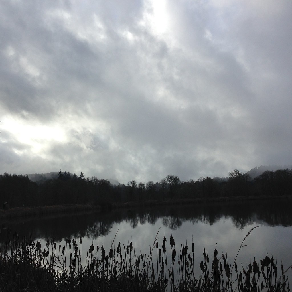 Photo: lexly87 aka Duc N. Ly, CC BY-SA 2.0 (via Flickr)
Crown Zellerbach Trail
~15 min drive
21.76-mile point-to-point hike in Oregon with 1,589 ft gain and 2,167 ft loss.
 Photo: oregonforestry, CC BY 2.0 (via Flickr)
Peat Swamp Trail
~15 min drive
0.42-mile loop with 65 ft gain and 66 ft loss in Oregon.
HIKE
Hares Canyon Trail
~2 min drive
2.81-mile out-and-back trail in Oregon with 873 ft elevation gain
HIKE
Gales Creek Trail
~17 min drive
17.02-mile out-and-back trail in Oregon with 5,056 ft elevation gain/loss.
HIKE
Banks-Vernonia Trail
~15 min drive
Nearly 19-mile point-to-point trail through northwest Oregon's forested foothills.
HIKE
Crosstie Trail
Next door
0.93-mile out-and-back trail in Oregon with 151 ft elevation gain.
HIKE
Triple C Trail
~14 min drive
3.26-mile out-and-back trail in Oregon with 1,177 ft gain/loss
HIKE
Lasso Loop
Next door
0.43-mile out-and-back trail in Oregon with 80 ft gain.
HIKE
Raven Ridge Mountain Bike Trail
~16 min drive
3.48-mile out-and-back mountain bike trail in Oregon with 1,521 ft elevation gain
HIKE
North Caddywhomper Way
Next door
0.61-mile out-and-back trail in Oregon with 101 ft elevation gain.

Map and trail data © OpenStreetMap contributors
