North Ridge Loop Trail
- 1.0 mi
- loop
- 596 ft
- climb
- 3,656 ft
- high point
- Loop
- route
- Apr–Jun, Sep–Oct
- best months
Caution today
Weather is marginal · OpenWeather · checked just now
North Ridge Loop Trail is a 1.04-mile hike in Catherine Creek State Park in Oregon, on city-managed land. The trail is rated easy, and the route rises from about 3,293 feet to about 3,656 feet, with a total elevation gain of 596 feet. The steepest stretch comes early, around 0.2 miles in, where the grade reaches about 17%. Summer is the most comfortable time to go. Typical averages from a nearby weather station in Union put July and August highs in the mid-80s with only about four wet days a month, while winter brings highs near 39°F and a few snow days each month. The Salmon Run Trail starts just 0.3 miles away. Climbers can head to Upper or Main Wall, about 4.7 miles off, and paddlers can try Little Creek, about 5.5 miles away. For an overnight stay, NF Catherine Creek Campground is about 5.7 miles from the trail.
Local outfitters
- Oregon Backcountry Outfitting29 mi away
- Cornucopia Lodge & Packstation36 mi away
Not on Roamze yet. Their page has how to reach them.
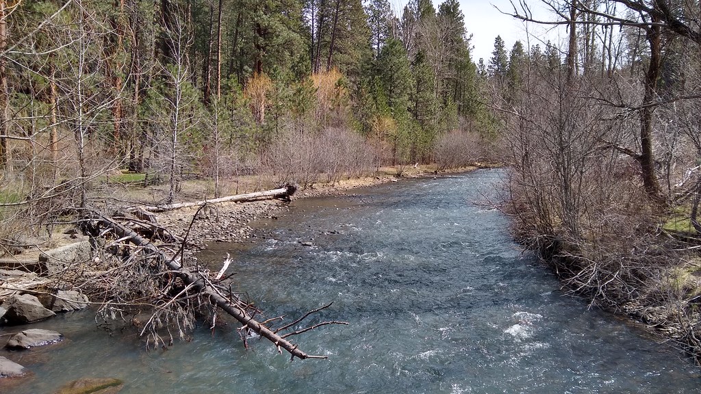 Salmon Run TrailHikingPhoto: mjfmjfmjf, CC BY 2.0 (via Flickr)0.3 mi
- Upper or Main WallRock climbing4.7 mi
- Little CreekCanoeing5.5 mi
- Lodgepole TrailHiking5.6 mi
- NF Catherine Creek CampgroundCamping5.7 mi
- No. Fork Catherine Group CampCamping6 mi
- North Fork Catherine Creek TrailHiking6.2 mi
- North Fork Catherine CreekCanoeing6.6 mi
Source: Roamze catalog (indexable pages within 10 miles, PostGIS distance)
- Salmon Run TrailHiking · Next doorPhoto: mjfmjfmjf, CC BY 2.0 (via Flickr)
 Long Lake TrailHiking · ~27 min drivePhoto: Forest Service Pacific Northwest Region, Public Domain Mark (via Flickr)
- Lodgepole TrailHiking · ~10 min drive
- North Fork Catherine Creek TrailHiking · ~11 min drive
- Cartwheel Ridge TrailHiking · ~11 min drive
- Crib Point TrailHiking · ~13 min drive
- North Fork Catherine Creek TrailHiking · ~14 min drive
- China Ridge TrailHiking · ~16 min drive
- Black Pine Spring TrailHiking · ~12 min drive
- Cúuy’em Creek TrailHiking · ~15 min drive
Best time to visit North Ridge Loop Trail
Best months: April–June and September–October. Best months have typical highs of 55–85 °F, lows of 30 °F or warmer (32 °F where the station doesn't record snow), at most one snowy day and no more than 12 wet days.
Jan
39° / 25°
12 wet · 5 snow
Feb
44° / 27°
10 wet · 3 snow
Mar
53° / 31°
12 wet · 2 snow
Apr
59° / 34°
12 wet · 1 snow
May
68° / 41°
12 wet
Jun
74° / 47°
9 wet
Jul
86° / 51°
4 wet
Aug
87° / 50°
4 wet
Sep
77° / 43°
5 wet
Oct
63° / 34°
9 wet
Nov
48° / 31°
12 wet · 2 snow
Dec
39° / 25°
13 wet · 4 snow
Typical high / low (°F) and days with rain or snow, 1991–2020. Measured at Union, OR, 6.8 mi away at 2,777 ft. The station sits about 900 ft lower than this place, so expect it a little cooler here. Source: NOAA NCEI U.S. Climate Normals 1991–2020.

Map and trail data © OpenStreetMap contributors
