Crib Point Trail
- 1.4 mi
- round trip
- 1,357 ft
- climb
- 6,629 ft
- high point
- Out and back
- route
Is Crib Point Trail open right now?
Closure in the area
There's a closure order in Wallowa-Whitman National Forest. It doesn't name Crib Point Trail, so check the source for the area it covers.
Anthony Fire Area Closure
Agency closure covering Wallowa-Whitman National Forest · USFS · Wallowa-Whitman National Forest
PHASE B FIRE RESTRICTIONS WALLOW-WHITMAN NATIONAL FOREST
Agency alert covering Wallowa-Whitman National Forest · Order 06-16-00-25-01 · USFS · Wallowa-Whitman National Forest
PHASE A FIRE RESTRICTIONS Wallowa-Whitman NATIONAL FOREST
Agency alert covering Wallowa-Whitman National Forest · Order 06-16-00-25-00 · USFS · Wallowa-Whitman National Forest
As of · Source: USFS · Wallowa-Whitman National Forest. Agencies don't list every closure — check before you go.
Crib Point Trail is a 1.4-mile, moderate hike in the Eagle Cap Wilderness, within the Eagle Cap Ranger District of the Wallowa-Whitman National Forest. The Forest Service manages the land, and the trail starts at about 6,600 feet. It is an out-and-back route with a total climb of about 1,357 feet, so the one-way elevation gain is roughly half that, around 237 feet. The steepest part of the trail comes at about a mile in, where the grade reaches 42 percent. The trail's high point is around 6,629 feet, and the low point near the start sits at about 5,723 feet. That makes it a short, steep climb with a longer descent, and the middle of the route is the most comfortable place to stop. For an easy extension, the North Fork Catherine Creek Trail lies about a mile away, and the Cartwheel Ridge Trail is about 1.7 miles off. Farther out, Moss Springs Campground and the North Fork Catherine Creek offer camping and paddling, both within about 4 miles.
Local outfitters
- Oregon Backcountry Outfitting21 mi away
- Eagle Cap Mountain Guides33 mi away
Not on Roamze yet. Their page has how to reach them.
- North Fork Catherine Creek TrailHiking1 mi
- Cartwheel Ridge TrailHiking1.7 mi
- China Ridge TrailHiking3 mi
- North Fork Catherine CreekCanoeing3.5 mi
- Moss Springs CampgroundCamping4 mi
- Little Minam RiverCanoeing5.6 mi
- No. Fork Catherine Group CampCamping5.7 mi
- Upper or Main WallRock climbing8.1 mi
Source: Roamze catalog (indexable pages within 10 miles, PostGIS distance)
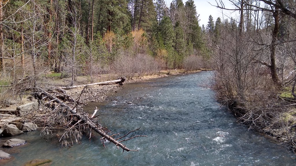 Salmon Run TrailHiking · ~13 min drivePhoto: mjfmjfmjf, CC BY 2.0 (via Flickr)
 Long Lake TrailHiking · ~16 min drivePhoto: Forest Service Pacific Northwest Region, Public Domain Mark (via Flickr)
 Wood Lake TrailHiking · ~19 min drivePhoto: U.S. Forest Service- Pacific Northwest Region, Public domain (via Wikimedia Commons)
- North Fork Catherine Creek TrailHiking · ~2 min drive
- Cartwheel Ridge TrailHiking · ~3 min drive
- Cúuy’em Creek TrailHiking · ~10 min drive
- China Ridge TrailHiking · ~5 min drive
- Lodgepole TrailHiking · ~6 min drive
- Lodgepole TrailHiking · ~7 min drive
- South Fork Catherine TrailHiking · ~16 min drive
Map and trail data © OpenStreetMap contributors
