Three Creeks Lake Campground
Campground
Campground · 3.6 mi from the trail
Closure in the area
There's a closure order in Deschutes National Forest. It doesn't name North Fork Trail #24.2, so check the source for the area it covers (3 listed).
West Bend Area Trail Closures
Agency closure covering Deschutes National Forest · USFS · Deschutes National Forest
West Bend IRSC- Area, Road and Trail Closure
Agency closure covering Bend/Fort Rock Ranger District · Order 06-01-01-26-03 · USFS · Bend/Fort Rock Ranger District
Cabin Butte Area Closure
Agency closure covering Bend/Fort Rock Ranger District · Order 06-01-01-26-01 · USFS · Bend/Fort Rock Ranger District
Camping & Campfire Restrictions Forest Order
Agency alert covering Deschutes National Forest · Order 06-01-26-01 · USFS · Deschutes National Forest
Cave Resource Protection Forest Order
Agency alert covering Deschutes National Forest · Order 06-01-26-02 · USFS · Deschutes National Forest
As of · Source: USFS · Deschutes National Forest. Agencies don't list every closure — check before you go.
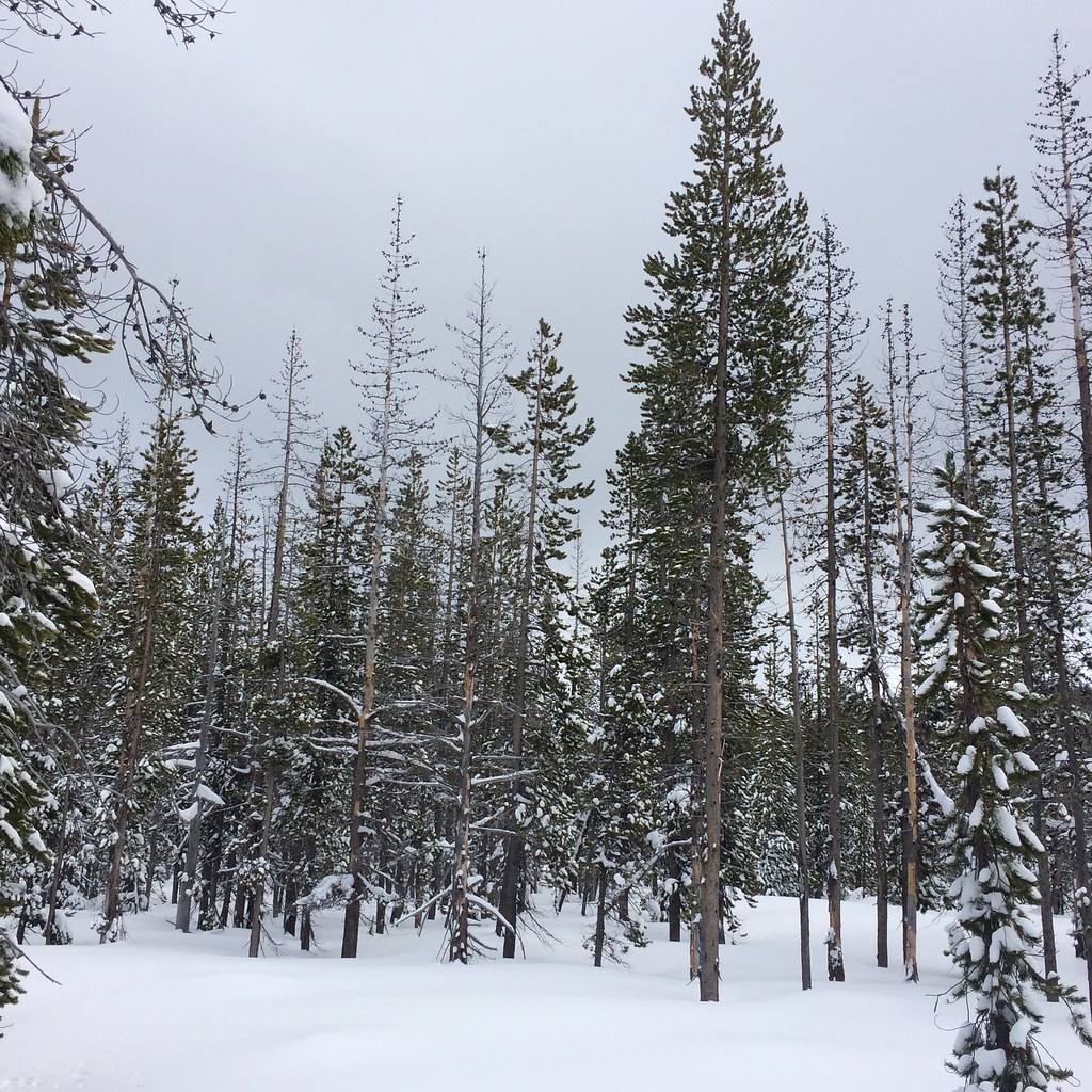
North Fork Trail #24.2 is a short, easy hike in the Bend/Fort Rock Ranger District of Deschutes National Forest in Oregon, managed by the Forest Service. The trail is about a mile long and rises roughly 550 feet from its starting point, which sits at about 5,647 feet. The climb is front-loaded, with the steepest stretch at about 0.4 miles in, where the grade reaches 15 percent. The high point is around 6,143 feet, and the route is an out-and-back, so the total gain and loss each run about 650 feet. The most comfortable time to go is typically late spring through early fall. A nearby weather station records typical averages of about 70°F in July and 50°F in September, with July the warmest month. Several other trails lie within about a mile, including Triangle Hill Loop, Metolius-Windigo Trail #99 and Swampy Lakes Trail #23. For an overnight stay, Three Creeks Lake Campground is about 3.6 miles away.
Three Creeks Lake Campground
Campground
Bend Pizza Kitchen
Restaurant
Clearwater Gallery
Gallery
Places © OpenStreetMap contributors
More in SistersNot on Roamze yet. Their page has how to reach them.
 Three Creeks Lake CampgroundCampingPhoto: Recreation.gov (RIDB) / public domain3.6 mi
 Driftwood Campground - DeschutesCampingPhoto: Recreation.gov (RIDB) / public domain4.1 mi
Source: Roamze catalog (indexable pages within 10 miles, PostGIS distance)
 Swampy Lakes Trail #23Hiking · ~2 min drivePhoto: lamblukas, CC BY 2.0 (via Flickr)
 Swampy Lakes Trail #23Hiking · ~3 min drivePhoto: Don Henise, CC BY 2.0 (via Flickr)
 Swede Ridge LoopHiking · ~6 min drivePhoto: bilbord99, CC BY 2.0 (via Flickr)
 South Fork Trail #25Hiking · ~3 min drivePhoto: Don Henise, CC BY 2.0 (via Flickr)Swampy LoopHiking · ~5 min drivePhoto: bilbord99, CC BY 2.0 (via Flickr)
 FlaglineHiking · ~6 min drivePhoto: U.S. Forest Service- Pacific Northwest Region, Public domain (via Wikimedia Commons)
 Tumalo Ridge Trail #25.2Hiking · ~5 min drivePhoto: lamblukas, CC BY 2.0 (via Flickr)BUTTE TRAILHiking · ~6 min drivePhoto: bilbord99, CC BY 2.0 (via Flickr)Broken TopHiking · ~7 min drivePhoto: U.S. Forest Service- Pacific Northwest Region, Public domain (via Wikimedia Commons)
 TUMALO RIDGEHiking · ~6 min drivePhoto: AndreyZharkikh, CC BY 2.0 (via Flickr)
Map and trail data © OpenStreetMap contributors

