Maiden Lake
- 1.6 mi
- round trip
- 535 ft
- climb
- 5,367 ft
- high point
- Out and back
- route
- May–Oct
- best months
Is Maiden Lake open right now?
Closure in the area
There's a closure order in Deschutes National Forest. It doesn't name Maiden Lake, so check the source for the area it covers.
West Bend Area Trail Closures
Agency closure covering Deschutes National Forest · USFS · Deschutes National Forest
Camping & Campfire Restrictions Forest Order
Agency alert covering Deschutes National Forest · Order 06-01-26-01 · USFS · Deschutes National Forest
Cave Resource Protection Forest Order
Agency alert covering Deschutes National Forest · Order 06-01-26-02 · USFS · Deschutes National Forest
Deschutes 14-Day Camping Order
Agency alert covering Deschutes National Forest · Order 06-01-25-01 · USFS · Deschutes National Forest
Wilderness Permit, Camping & Fire Restrictions Order
Agency alert covering Deschutes National Forest · Order 06-01-24-01 · USFS · Deschutes National Forest
As of · Source: USFS · Deschutes National Forest. Agencies don't list every closure — check before you go.
Maiden Lake is an easy hike of about 1.6 miles in the Crescent Ranger District of Deschutes National Forest in central Oregon. The trail is an out-and-back with a total gain of about 535 feet, reaching a high point of 5,367 feet, and it is open year-round at the Maiden Lake Trailhead. The route starts at roughly 4,980 feet and climbs to its peak before returning to the trailhead. The steepest section comes early on, with a grade of about 13 percent at about 0.11 miles. The trail is on natural ground, and both horses and bikes are allowed. Summer is the most comfortable time to go. At a nearby weather station, typical July and August highs reach the mid-70s with only about three wet days a month, while winter brings regular snow and highs in the mid-30s. Maiden Peak Summit lies about 2 miles away, and the Metolius-Windigo Trail is about 2.2 miles off. West Davis Lake and East Davis Campground are each about 3.1 miles away, and Odell Lake is about 4.6 miles away.
Local outfitters
- Shelter Cove Resort & Marina7 mi away
- Casey's Riverside RV Resort33 mi away
Not on Roamze yet. Their page has how to reach them.
Best time to go · May–Oct
Best time to visit Maiden Lake
Best months: May–October. Best months have typical highs of 55–85 °F, lows of 30 °F or warmer (32 °F where the station doesn't record snow), at most one snowy day and no more than 12 wet days.
Jan
35° / 20°
14 wet · 10 snow
Feb
38° / 21°
13 wet · 9 snow
Mar
42° / 24°
14 wet · 8 snow
Apr
46° / 28°
11 wet · 4 snow
May
55° / 34°
9 wet · 1 snow
Jun
63° / 38°
6 wet
Jul
73° / 44°
3 wet
Aug
74° / 42°
3 wet
Sep
68° / 36°
5 wet
Oct
55° / 30°
9 wet · 1 snow
Nov
41° / 26°
14 wet · 6 snow
Dec
34° / 20°
15 wet · 10 snow
Typical high / low (°F) and days with rain or snow, 1991–2020. Measured at Odell Lake-East, OR, 4.5 mi away at 4,800 ft. The station sits about 600 ft lower than this place, so expect it a little cooler here. Source: NOAA NCEI U.S. Climate Normals 1991–2020.
Keep exploring — more trails worth the drive
 Photo: functoruser, CC BY 2.0 (via Flickr)
MAKLAKS NORDIC LOOP
~7 min drive
8.94-mile out-and-back trail in Oregon with 1,762 ft elevation gain and loss.
 Photo: Šarūnas Burdulis from USA, CC BY-SA 2.0 (via Wikimedia Commons)
Maiden Lake Trail #3841
~8 min drive
10.86-mile out-and-back hike in Oregon with 2,549 ft elevation gain.
Photo: Šarūnas Burdulis from USA, CC BY-SA 2.0 (via Wikimedia Commons)MAIDEN LAKE NORDIC
~8 min drive
4.72-mile out-and-back trail in Oregon with 801 ft elevation gain and loss.
 Photo: Bruce Fingerhood from Springfield, Oregon, US, CC BY 2.0 (via Wikimedia Commons)
Pct - Oregon Section E
~10 min drive
74.69-mile point-to-point trail in Oregon with 6,842 ft elevation gain.
Photo: Šarūnas Burdulis from USA, CC BY-SA 2.0 (via Wikimedia Commons)Skyline Bike Trail #4383
~9 min drive
3.37-mile out-and-back bike trail in Oregon with 382 ft gain.
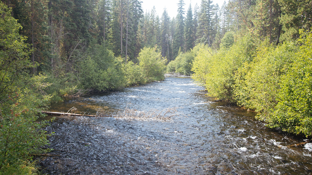 Photo: Northwest Rafting Company, CC BY 2.0 (via Flickr)
Metolius-Windigo Trail
~12 min drive
10.4-mile out-and-back trail in Oregon with 2,994 ft elevation gain.
 Photo: Šarūnas Burdulis from USA, CC BY-SA 2.0 (via Wikimedia Commons)
TAITS LOOP SOUTH TIE
~8 min drive
1.82-mile out-and-back trail in Oregon with 821 ft elevation gain
 Photo: lamblukas, CC BY 2.0 (via Flickr)
WHITEFISH CREEK
~12 min drive
21.64-mile out-and-back trail in Oregon with 2,508 ft elevation gain/loss
Photo: lamblukas, CC BY 2.0 (via Flickr)Yoran Lake Trail
~12 min drive
8.9-mile out-and-back hike to Yoran Lake in Oregon with 1,640 ft gain.
Photo: Northwest Rafting Company, CC BY 2.0 (via Flickr)Pretty Lake
~12 min drive
6.60-mile out-and-back trail to Pretty Lake in Oregon with 6,575 ft gain

