Lost Creek
Campground
Campground · < 0.1 mi from the trail
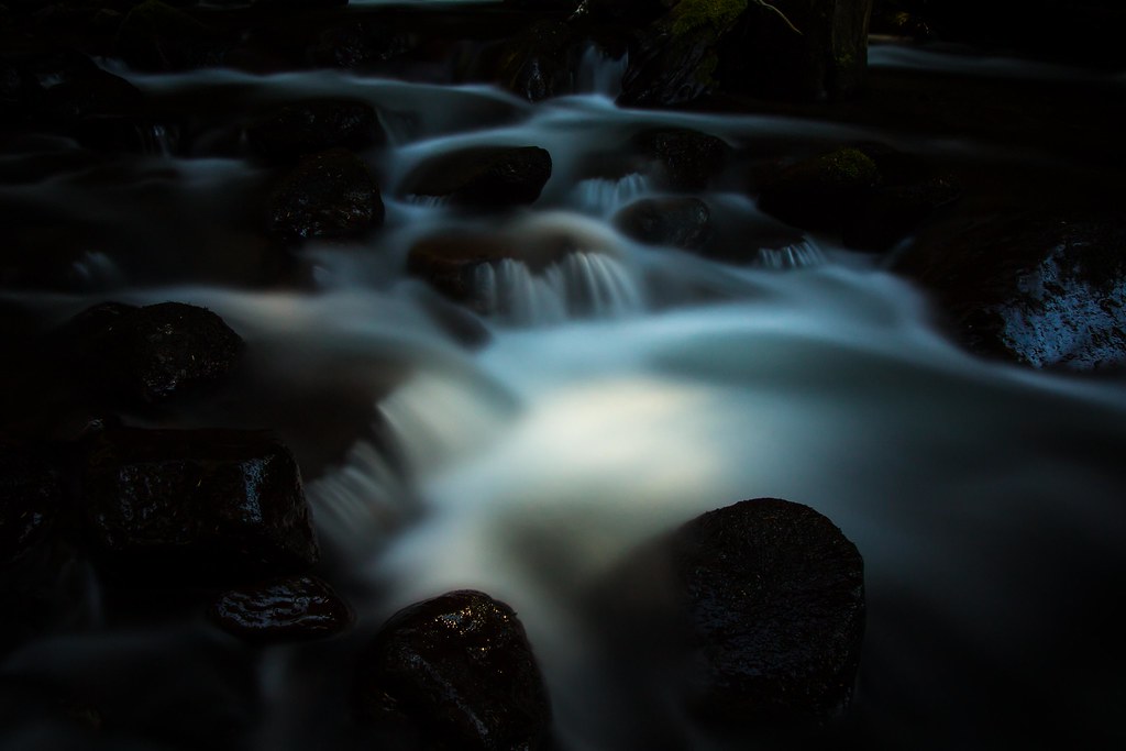 Photo: LukeDetwiler, CC BY 2.0 (via Flickr)
Caution at last check
Agency alerts are in effect for this area; weather is good · USFS, OpenWeather · checked 13 h ago
Alert in the area
The Forest Service lists 5 alerts for Mt. Hood National Forest.
Tamanawas Falls Trail closed due to instability hazards
Agency alert covering Mt. Hood National Forest · USFS · Mt. Hood National Forest
Tamarack Quarry closed beginning Sept. 1
Agency alert covering Zigzag Ranger District · Order 06-06-09-26-12 · USFS · Zigzag Ranger District
Eagle Creek Fire Area Closures
Agency alert covering Mt. Hood National Forest · Order 06-22-01-26-04 · USFS · Mt. Hood National Forest
FR 4613 road damage- use caution
Agency alert covering Mt. Hood National Forest · USFS · Mt. Hood National Forest
Crane Creek bridge closed on the Barlow Road
Agency alert covering Mt. Hood National Forest · USFS · Mt. Hood National Forest
As of · Source: USFS · Mt. Hood National Forest. Agencies don't list every closure — check before you go.
Lost Creek Nature Trail #776 is an easy, short hike in Oregon's Mt. Hood National Forest, within the Zigzag Ranger District. It is a 0.3-mile out-and-back route with a total climb of about 130 feet, from a low point of 2,417 feet to a high of 2,475 feet. The trail starts and ends at nearly the same elevation, and the steepest part, a 6% grade, comes within the first 0.05 miles. Summer is the most comfortable time to go. Typical averages from a nearby weather station at Government Camp show July and August highs around 70°F with only about four wet days a month, while winter brings highs in the mid-30s and rain on 20 or more days. The trail sits right next to Lost Creek campground, about 0.1 mile away. Burnt Lake North and Cast Creek are both within a mile, and the Sandy River, about a mile off, offers canoeing.
Lost Creek
Campground
al Forno Ferruzza
Restaurant
Underwater Viewing Chamber
Attraction
Places © OpenStreetMap contributors
More in Mount Hood VillagesNot on Roamze yet. Their page has how to reach them.
BURNT LAKE NORTHHikingPhoto: LukeDetwiler, CC BY 2.0 (via Flickr)0.6 mi CAST CREEKHikingPhoto: niiicedave, CC BY-SA 2.0 (via Flickr)0.9 mi
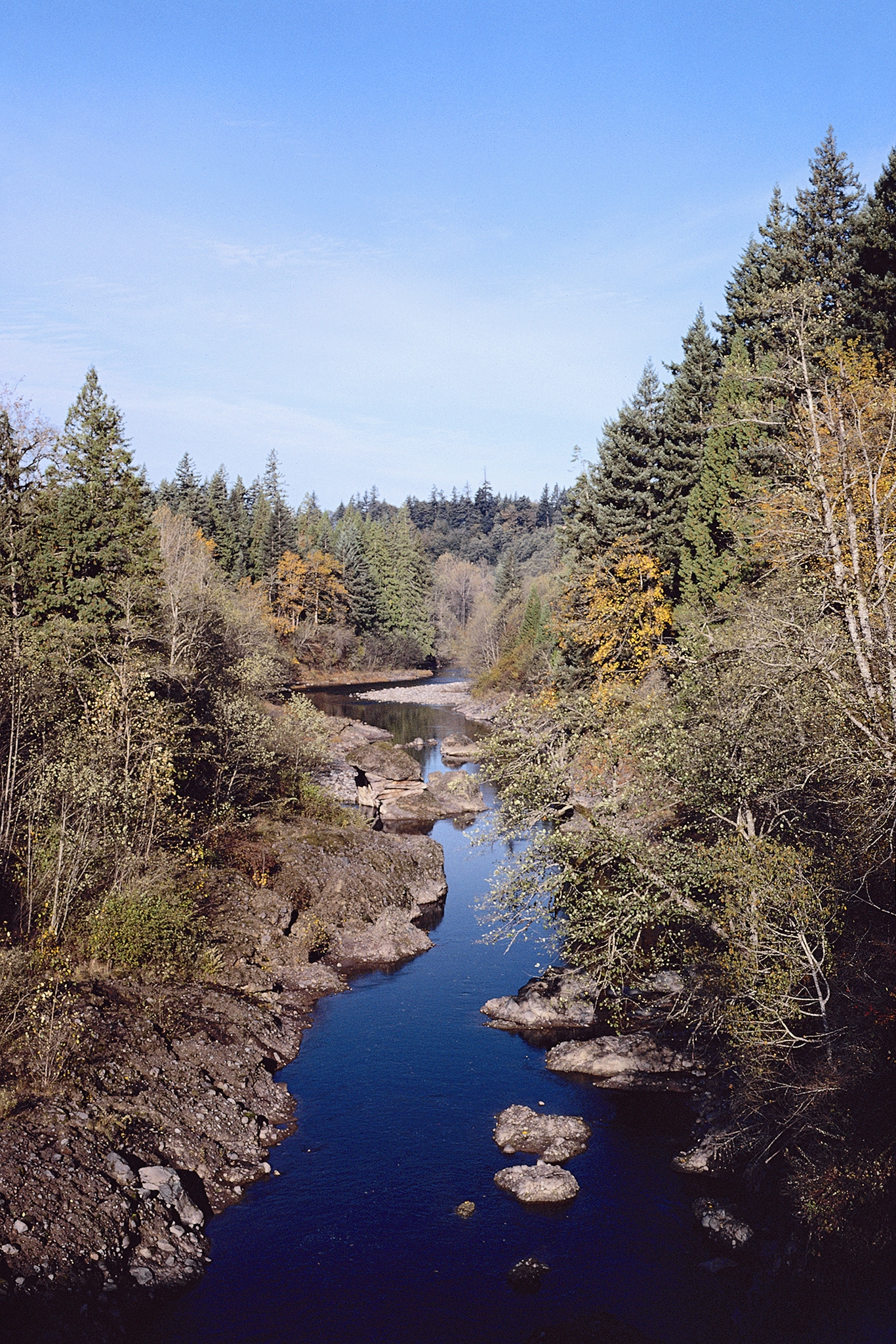 Sandy RiverCanoeingPhoto: USDA Forest Service, Public domain (via Wikimedia Commons)1 mi
Source: Roamze catalog (indexable pages within 10 miles, PostGIS distance)
BURNT LAKE NORTHHiking · ~1 min drivePhoto: LukeDetwiler, CC BY 2.0 (via Flickr)Burnt Lake Trail #772Hiking · ~2 min drivePhoto: LukeDetwiler, CC BY 2.0 (via Flickr) Ramona FallsHiking · ~3 min drivePhoto: Evan-Lovely, CC BY-SA 2.0 (via Flickr)
 Zigzag Mountain Trail #775Hiking · ~8 min drivePhoto: niiicedave, CC BY-SA 2.0 (via Flickr)
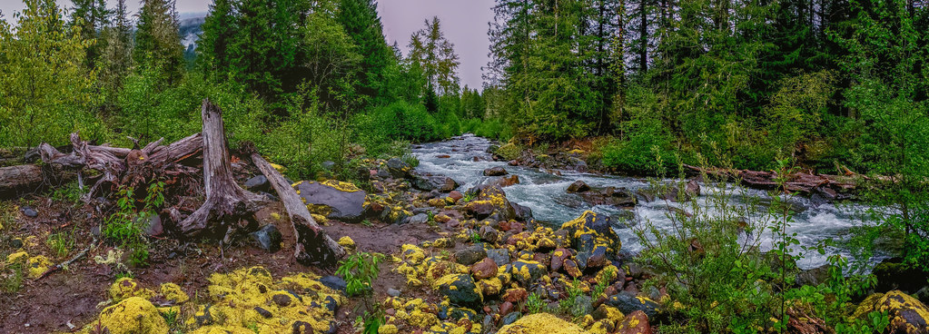 HorseshoeHiking · ~4 min drivePhoto: niiicedave, CC BY-SA 2.0 (via Flickr)Sandy River Trail #770Hiking · ~2 min drivePhoto: niiicedave, CC BY-SA 2.0 (via Flickr)
 Cast LakeHiking · ~4 min drivePhoto: U.S. Forest Service- Pacific Northwest Region, Public domain (via Wikimedia Commons)
 Paradise Park Trail #778Hiking · ~8 min drivePhoto: U.S. Forest Service- Pacific Northwest Region, Public domain (via Wikimedia Commons)Cast Creek Trail #773Hiking · ~4 min drivePhoto: U.S. Forest Service- Pacific Northwest Region, Public domain (via Wikimedia Commons)
 HorseshoeHiking · ~3 min drivePhoto: eekim, CC BY 2.0 (via Flickr)
Best months: June–September. Best months have typical highs of 55–85 °F, lows of 30 °F or warmer (32 °F where the station doesn't record snow), at most one snowy day and no more than 12 wet days.
Jan
37° / 26°
20 wet
Feb
38° / 26°
17 wet
Mar
41° / 28°
20 wet
Apr
45° / 31°
18 wet
May
54° / 36°
15 wet
Jun
59° / 41°
10 wet
Jul
69° / 48°
4 wet
Aug
70° / 48°
4 wet
Sep
64° / 45°
8 wet
Oct
53° / 37°
13 wet
Nov
42° / 30°
18 wet
Dec
35° / 26°
21 wet
Typical high / low (°F) and days with rain or snow, 1991–2020. Measured at Government Camp, OR, 7.2 mi away at 3,980 ft. The station sits about 1,500 ft higher than this place, so expect it a little warmer here. This station doesn't record snowfall. Source: NOAA NCEI U.S. Climate Normals 1991–2020.
Map and trail data © OpenStreetMap contributors

