Wildwood Recreation Site
Campground
Sites open the weekend of Nov 6 on Recreation.gov
 Photo: Sam Beebe/Ecotrust, CC BY-SA 3.0 (via Wikimedia Commons)
Little Monkey is a short lollipop trail in Oregon covering 0.37 miles with 140 feet of elevation loss.
Wildwood Recreation Site
Campground
Brightwood Tavern
Pub
 If it rainsIan Poellet, CC BY-SA 3.0 · Wikimedia Commons
Places © OpenStreetMap contributors · Photos: Ian Poellet, CC BY-SA 3.0 (commons)
More in Mount Hood VillagesNot on Roamze yet. Their page has how to reach them.
Best months: June–September. Best months have typical highs of 55–85 °F, lows of 30 °F or warmer (32 °F where the station doesn't record snow), at most one snowy day and no more than 12 wet days.
Jan
44° / 35°
22 wet
Feb
47° / 36°
19 wet
Mar
52° / 37°
21 wet
Apr
57° / 40°
20 wet
May
64° / 46°
16 wet
Jun
69° / 50°
12 wet
Jul
77° / 54°
6 wet
Aug
78° / 54°
5 wet
Sep
72° / 51°
9 wet
Oct
60° / 45°
16 wet
Nov
49° / 40°
21 wet
Dec
43° / 35°
23 wet
Typical high / low (°F) and days with rain or snow, 1991–2020. Measured at Headworks Portland Wtr B, OR, 8 mi away at 748 ft. The station sits about 700 ft lower than this place, so expect it a little cooler here. This station doesn't record snowfall. Source: NOAA NCEI U.S. Climate Normals 1991–2020.
Photo: Sam Beebe/Ecotrust, CC BY-SA 3.0 (via Wikimedia Commons)Homestead Loop
~1 min drive
0.40-mile loop trail in Oregon with 135 ft elevation gain and loss.
 Photo: Sheila Sund from Salem, United States, CC BY 2.0 (via Wikimedia Commons)
Boulder Ridge Trail
~5 min drive
Out-and-back ridge climb with expansive alpine views in Oregon.
 Photo: niiicedave, CC BY-SA 2.0 (via Flickr)
Hunchback Trail #793
~8 min drive
18.26-mile out-and-back trail in Oregon with 6,273 ft elevation gain
 Photo: U.S. Forest Service- Pacific Northwest Region, Public domain (via Wikimedia Commons)
Flag Mountain
~12 min drive
3.80-mile out-and-back trail to Flag Mountain summit in Oregon.
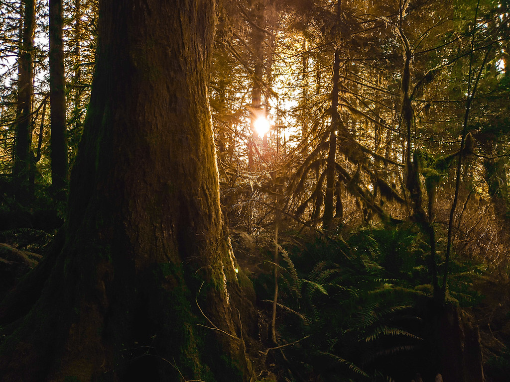 Photo: niiicedave, CC BY-SA 2.0 (via Flickr)
Falls Loop Trail
~2 min drive
0.64-mile loop with 140 ft elevation gain and loss in Oregon
 Photo: niiicedave, CC BY-SA 2.0 (via Flickr)
CAST CREEK
~14 min drive
9.76-mile out-and-back trail in Oregon with 3,591 ft elevation gain and loss.
 Photo: Sam Beebe/Ecotrust, CC BY-SA 3.0 (via Wikimedia Commons)
Bonanza Trail #786
~9 min drive
9.64-mile out-and-back trail in Oregon with 5,572 ft elevation gain/loss.
Photo: niiicedave, CC BY-SA 2.0 (via Flickr)Sandy River Trail #770
~13 min drive
6.44-mile out-and-back trail on Sandy River with 1,083 ft gain
 Photo: niiicedave, CC BY-SA 2.0 (via Flickr)
McIntyre Ridge Trail #782
~3 min drive
1.0-mile out-and-back trail in Oregon with 943 ft elevation gain
 Photo: U.S. Forest Service- Pacific Northwest Region, Public domain (via Wikimedia Commons)
Salmon River
~14 min drive
21.70-mile out-and-back trail on Salmon River in Oregon with 3,046 ft gain
Map and trail data © OpenStreetMap contributors


