Hurt Cabin
- 3.1 mi
- round trip
- 1,836 ft
- climb
- 3,063 ft
- high point
- Out and back
- route
Caution today
Agency alerts are in effect for this area; weather is good · USFS, OpenWeather · checked 11 h ago
Is Hurt Cabin open right now?
No closures listed
The Forest Service lists no closures for Rogue River-Siskiyou National Forests.
As of · Source: USFS · Rogue River-Siskiyou National Forests. Agencies don't list every closure — check before you go.
Hurt Cabin is a 3.1-mile out-and-back hike in the Kalmiopsis Wilderness, part of the Gold Beach Ranger District of the Rogue River-Siskiyou National Forests in Oregon. The trail climbs to a high point of 3,063 feet, with a total elevation gain of 1,836 feet, and it is rated moderate. The Forest Service manages the land. The route is natural-surface and not accessible. Horses are allowed, but bikes are not. The steepest stretch comes at about 0.6 miles, with a grade of 35 percent. The trip takes about two hours, and the trail is open year-round. Nearby, Pupp's Camp Way and South Fork Collier Creek are both about 2.9 miles away, and Collier Bar is about 3.4 miles off. For an overnight stay, Snow Camp Lookout is about 6.2 miles away.
Local outfitters
- John Carl Guide Service11 mi away
- Turtle Rock RV Resort18 mi away
Not on Roamze yet. Their page has how to reach them.
Keep exploring — more trails worth the drive
 Photo: Northwest Rafting Company, CC BY 2.0 (via Flickr)
South Bend Mountain Way
~9 min drive
4.96-mile out-and-back trail in Oregon with 810 ft gain.
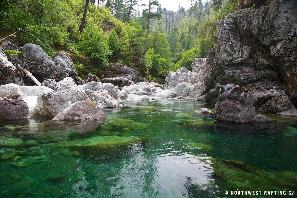 Photo: Northwest Rafting Company, CC BY 2.0 (via Flickr)
Tincup
~12 min drive
Tincup is a 30.44-mile out-and-back trail in Oregon with 5,724 feet of elevation gain.
 Photo: Northwest Rafting Company, CC BY 2.0 (via Flickr)
Florence Cut-Off
~14 min drive
2.77-mile out-and-back trail in Oregon with 1,029 ft gain.
 Photo: james shaw, CC BY-SA 3.0 (via Wikimedia Commons)
Pine Grove
~19 min drive
11.70-mile out-and-back trail in Oregon with 3,241 ft of elevation gain.
 Photo: Northwest Rafting Company, CC BY 2.0 (via Flickr)
Pine Flat Way
~16 min drive
3.60-mile out-and-back trail in Oregon with 1,609 ft elevation gain.
 Photo: Northwest Rafting Company, CC BY 2.0 (via Flickr)
Upper Chetco Trail
~20 min drive
34.14-mile out-and-back trail in Oregon with 11,678 ft elevation gain/loss.
Photo: james shaw, CC BY-SA 3.0 (via Wikimedia Commons)Lake O Woods
~22 min drive
0.60-mile lollipop trail at Lake O Woods in Oregon with 287 ft of elevation loss.
Photo: Northwest Rafting Company, CC BY 2.0 (via Flickr)Florence Way
~15 min drive
6.20-mile out-and-back trail in Oregon with 275 ft elevation gain and 3,449 ft loss.
 Photo: Northwest Rafting Company, CC BY 2.0 (via Flickr)
Collier Bar
~6 min drive
5.60-mile out-and-back trail in Oregon with 4,699 ft gain.
HIKE
Game Lake
~14 min drive
17.56-mile out-and-back trail in Oregon with 4,475 ft gain.
