Cyrus Horse Camp
Campground
Campground · 1.5 mi from the trail
Gray Butte Trail is a 6.1-mile moderate hike in eastern Oregon, crossing the boundary from the Crooked River National Grassland into the Ochoco National Forest. It rises from about 3,789 feet to a high point of 4,275 feet, with a total elevation gain of 777 feet. The trailhead is named Gray Butte Trailhead, and the Forest Service manages the land. The climb is a point-to-point route, not a loop. The steepest stretch comes at about the 3-mile mark, where the grade reaches 23%. That makes the trail a moderate choice for a day on foot. Summer is the most comfortable time to go. Typical averages from the Grizzly weather station, about 10 miles away, show July highs around 84°F with lows near 41°F and only about four wet days. Winters are cold, with December highs around 41°F and lows near 22°F. The trail is also open to bikes. Nearby, the Ridge Rider - Cole Loop and the Cole Loop Trail #854 are each within about 2 miles. Skull Hollow campground sits about 2.6 miles away, and the Fourth Area climbing area is about 3.4 miles off.
Cyrus Horse Camp
Campground
Terrebone Depot Food & Drink
Restaurant
Places © OpenStreetMap contributors
More in SistersNot on Roamze yet. Their page has how to reach them.
 Photo: Robert Ashworth from Bellingham, WA., USA, CC BY 2.0 (via Wikimedia Commons)
Grey Butte Trail
~5 min drive
1.31-mile out-and-back trail in Oregon with 966 ft of elevation gain.
Photo: Robert Ashworth from Bellingham, WA., USA, CC BY 2.0 (via Wikimedia Commons)Wolf Tree Trail
~8 min drive
2.18-mile out-and-back trail in Oregon with 610 ft elevation gain
 Photo: Ian Poellet, CC BY-SA 3.0 (via Wikimedia Commons)
Tam-A-Lau
~21 min drive
10.84-mile loop trail in Oregon with 1,674 ft elevation gain.
HIKE
RIDGE RIDER - COLE LOOP
~3 min drive
23.64-mile loop in Oregon with 2,797 ft elevation gain and loss.
 Photo: lamblukas, CC BY 2.0 (via Flickr)
Mesa Verde Trail
~8 min drive
0.74-mile out-and-back trail in Oregon with 1,045 ft elevation gain
Photo: Robert Ashworth from Bellingham, WA., USA, CC BY 2.0 (via Wikimedia Commons)Summit Trail
~8 min drive
0.76-mile out-and-back trail in Oregon with 765 ft of elevation gain.
HIKE
Ridge Rider - Warner Loop
~3 min drive
17.80-mile out-and-back trail in Oregon with 538 ft elevation gain.
HIKE
Cole Loop Trail #854
~3 min drive
22.34-mile out-and-back trail in Oregon with 3,366 ft elevation gain/loss.
Photo: lamblukas, CC BY 2.0 (via Flickr)Misery Ridge Trail
~8 min drive
1.88-mile out-and-back trail in Oregon with 2,140 ft gain and 3,296 ft max elevation.
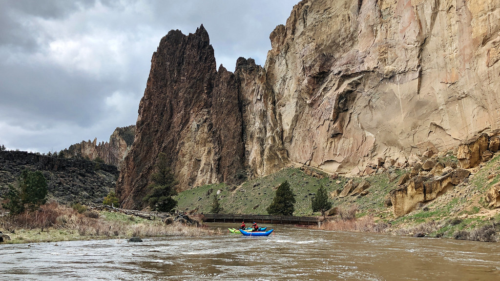 Photo: Northwest Rafting Company, CC BY 2.0 (via Flickr)
Homestead Trail
~8 min drive
0.86-mile out-and-back trail in Oregon with 195 ft elevation gain
Map and trail data © OpenStreetMap contributors

