Todd Creek Horse Camp
Campground
Campground · 4.5 mi from the trail
Closure in the area
There's a closure order in Deschutes National Forest. It doesn't name Flagline Tie, so check the source for the area it covers (3 listed).
West Bend Area Trail Closures
Agency closure covering Deschutes National Forest · USFS · Deschutes National Forest
West Bend IRSC- Area, Road and Trail Closure
Agency closure covering Bend/Fort Rock Ranger District · Order 06-01-01-26-03 · USFS · Bend/Fort Rock Ranger District
Cabin Butte Area Closure
Agency closure covering Bend/Fort Rock Ranger District · Order 06-01-01-26-01 · USFS · Bend/Fort Rock Ranger District
Camping & Campfire Restrictions Forest Order
Agency alert covering Deschutes National Forest · Order 06-01-26-01 · USFS · Deschutes National Forest
Cave Resource Protection Forest Order
Agency alert covering Deschutes National Forest · Order 06-01-26-02 · USFS · Deschutes National Forest
As of · Source: USFS · Deschutes National Forest. Agencies don't list every closure — check before you go.
Flagline Tie is a short, easy loop hike of about 2.7 miles in the Bend/Fort Rock Ranger District of Deschutes National Forest in Oregon. The Forest Service manages the land, and the trail is a natural-surface route with a total elevation gain of about 157 feet, from a low of roughly 6,243 feet to a high of about 6,355 feet. Bikes are allowed on the trail, but horses are not. The route is a loop, so the climb is one way rather than round trip. The Crosscut Trail, a cross-country ski route, lies about half a mile away. Swampy Lakes Trail #23 and Swampy Loop are both about a mile off. For an overnight stay, Three Creeks Lake Campground is about 6 miles away.
Todd Creek Horse Camp
Campground
Bend Pizza Kitchen
Restaurant
Clearwater Gallery
Gallery
Places © OpenStreetMap contributors
More in SistersNot on Roamze yet. Their page has how to reach them.
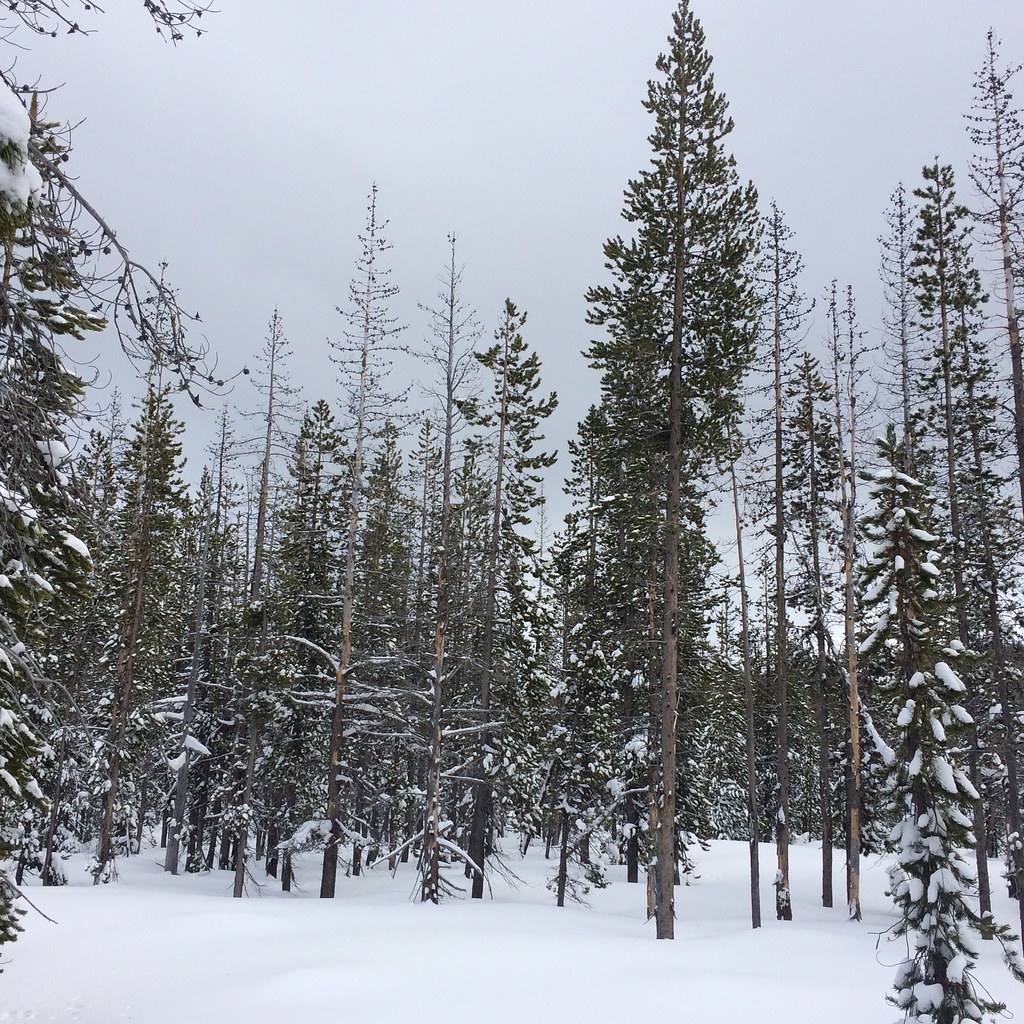 Photo: bilbord99, CC BY 2.0 (via Flickr)
Swampy Loop
~2 min drive
2.60-mile out-and-back trail in Oregon with 6,135 ft elevation gain.
 Photo: Don Henise, CC BY 2.0 (via Flickr)
South Fork Trail #25
~2 min drive
1.38-mile out-and-back trail in Oregon with 220 ft elevation gain.
Photo: bilbord99, CC BY 2.0 (via Flickr)Swede Ridge Loop
~3 min drive
Moderate 6.24-mile out-and-back ridge hike with scenic views.
Photo: bilbord99, CC BY 2.0 (via Flickr)BUTTE TRAIL
~2 min drive
3.48-mile out-and-back trail in Oregon with 708 ft elevation gain.
 Photo: lamblukas, CC BY 2.0 (via Flickr)
Swampy Lakes Trail #23
~3 min drive
2.38-mile out-and-back hike in Oregon with 1,032 ft gain.
Photo: Don Henise, CC BY 2.0 (via Flickr)Bridge Creek Trail #24
~4 min drive
5.38-mile out-and-back trail in Oregon with 1,949 ft elevation gain.
Photo: bilbord99, CC BY 2.0 (via Flickr)RIDGE LOOP
~2 min drive
4.34-mile out-and-back trail in Oregon with 930 ft elevation gain.
Photo: Don Henise, CC BY 2.0 (via Flickr)North Fork
~4 min drive
3.20-mile out-and-back trail in Oregon with 831 ft gain
HIKE
Sector 16
~5 min drive
6.42-mile out-and-back trail in Oregon with 331 ft gain.
 Photo: Don Henise, CC BY 2.0 (via Flickr)
Swampy Lakes Trail #23
~2 min drive
0.69-mile out-and-back hike with 261 ft gain at Swampy Lakes Trail #23, Oregon

