Field Trail
- 8.2 mi
- round trip
- 3,128 ft
- climb
- 5,310 ft
- high point
- Out and back
- route
- May–Aug
- best months
Field Trail is an out-and-back hike in Oregon, about 6 miles from the town of Mount Vernon. The route is 16.4 miles long, with a total elevation gain of 3,128 feet, and it reaches a high point of 5,310 feet. The trail is rated expert, and the climb is rolling, with the steepest stretch at about 7.4 miles in, where the grade reaches 29%. Summer is the most comfortable time to go. Typical averages from a nearby weather station in Seneca, which sits about 650 feet lower than the trail's high point, show July and August highs around 82°F with only three or four wet days a month. Winter is cold, with January highs near 36°F and lows around 11°F. The trip takes about seven hours. Billy Fields campground is about 6.6 miles away, and the McClellan Mountain Trail #216 and Fields Peak Trail #212 are both within about 8 miles.
- Billy FieldsCamping6.6 mi
- Mcclellan Mountain Trail #216Hiking6.9 mi
- Fields Peak Trail #212Hiking7.7 mi
- Riley Creek Trail #216Hiking7.8 mi
- Cedar Grove Trail #203AHiking8.6 mi
Source: Roamze catalog (indexable pages within 10 miles, PostGIS distance)
 Phlo TrailHiking · ~31 min drivePhoto: U.S. Forest Service- Pacific Northwest Region, Public domain (via Wikimedia Commons)
- Magone Lake TrailHiking · ~31 min drivePhoto: U.S. Forest Service- Pacific Northwest Region, Public domain (via Wikimedia Commons)
 BLACK CANYONHiking · ~42 min drivePhoto: xtaxta, CC BY 2.0 (via Wikimedia Commons)
- Mcclellan Mountain Trail #216Hiking · ~12 min drive
- Deadhead TrailHiking · ~31 min drivePhoto: U.S. Forest Service- Pacific Northwest Region, Public domain (via Wikimedia Commons)
- Owl Creek Trail #820AHiking · ~43 min drivePhoto: xtaxta, CC BY 2.0 (via Wikimedia Commons)
- Joaquin Miller Trail #219Hiking · ~34 min drive
- East Fork Canyon Creek Trail #211Hiking · ~35 min drive
- Coffee Pot Trail #820BHiking · ~40 min drivePhoto: xtaxta, CC BY 2.0 (via Wikimedia Commons)
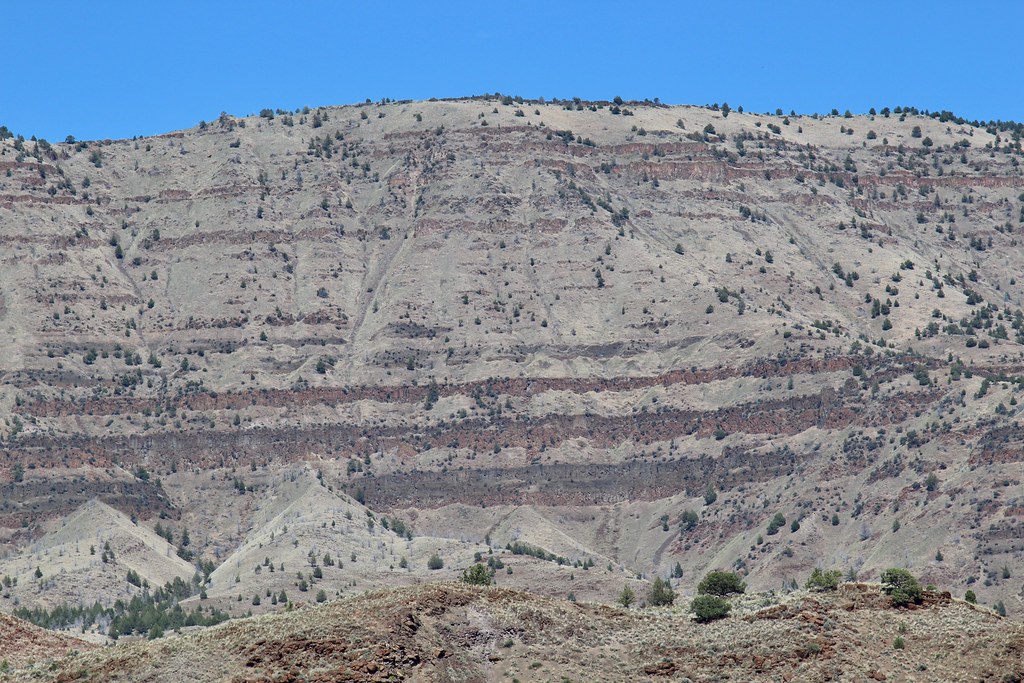 Story in Stone TrailHiking · ~43 min drivePhoto: daveynin, CC BY 2.0 (via Flickr)
Best time to visit Field Trail
Best months: May–August. Best months have typical highs of 55–85 °F, lows of 30 °F or warmer (32 °F where the station doesn't record snow), at most one snowy day and no more than 12 wet days.
Jan
36° / 11°
12 wet
Feb
40° / 14°
10 wet
Mar
46° / 20°
11 wet
Apr
53° / 25°
10 wet
May
62° / 32°
10 wet
Jun
70° / 36°
7 wet
Jul
82° / 39°
4 wet
Aug
82° / 35°
3 wet
Sep
73° / 27°
4 wet
Oct
60° / 21°
8 wet
Nov
44° / 17°
11 wet
Dec
36° / 11°
13 wet
Typical high / low (°F) and days with rain or snow, 1991–2020. Measured at Seneca, OR, 23.9 mi away at 4,660 ft. The station sits about 700 ft lower than this place, so expect it a little cooler here. This station doesn't record snowfall. Source: NOAA NCEI U.S. Climate Normals 1991–2020.
Map and trail data © OpenStreetMap contributors
