Cedar Grove Trail #203A
- 0.9 mi
- round trip
- 956 ft
- climb
- 5,964 ft
- high point
- Out and back
- route
- May–Aug
- best months
Caution at last check
Agency alerts are in effect for this area; weather is good · USFS, OpenWeather · checked 19 h ago
Is Cedar Grove Trail #203A open right now?
No closures listed
The Forest Service lists no closures for Malheur National Forest.
As of · Source: USFS · Malheur National Forest. Agencies don't list every closure — check before you go.
Cedar Grove Trail #203A is a 1.88-mile out-and-back hike in Oregon with 956 feet of elevation gain and loss. The trail reaches a maximum elevation of 5,964 feet.
- Billy FieldsCamping2.2 mi
- Fields Peak Trail #212Hiking3.7 mi
- Mcclellan Mountain Trail #216Hiking4.1 mi
- Oregon MineCamping4.5 mi
- Riley Creek Trail #216Hiking8.3 mi
- Field TrailHiking8.6 mi
Source: Roamze catalog (indexable pages within 10 miles, PostGIS distance)
 Coffee Pot Trail #820BHiking · ~30 min drivePhoto: xtaxta, CC BY 2.0 (via Wikimedia Commons)
- Owl Creek Trail #820AHiking · ~33 min drivePhoto: xtaxta, CC BY 2.0 (via Wikimedia Commons)
- BLACK CANYONHiking · ~32 min drivePhoto: xtaxta, CC BY 2.0 (via Wikimedia Commons)
- Mcclellan Mountain Trail #216Hiking · ~7 min drive
 Phlo TrailHiking · ~45 min drivePhoto: U.S. Forest Service- Pacific Northwest Region, Public domain (via Wikimedia Commons)
- Magone Lake TrailHiking · ~45 min drivePhoto: U.S. Forest Service- Pacific Northwest Region, Public domain (via Wikimedia Commons)
- South Prong Trail #281Hiking · ~28 min drive
- Field TrailHiking · ~15 min drive
- Deadhead TrailHiking · ~45 min drivePhoto: U.S. Forest Service- Pacific Northwest Region, Public domain (via Wikimedia Commons)
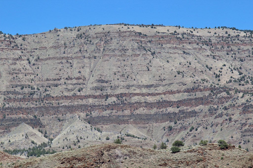 Story in Stone TrailHiking · ~46 min drivePhoto: daveynin, CC BY 2.0 (via Flickr)
Best time to visit Cedar Grove Trail #203A
Best months: May–August. Best months have typical highs of 55–85 °F, lows of 30 °F or warmer (32 °F where the station doesn't record snow), at most one snowy day and no more than 12 wet days.
Jan
36° / 11°
12 wet
Feb
40° / 14°
10 wet
Mar
46° / 20°
11 wet
Apr
53° / 25°
10 wet
May
62° / 32°
10 wet
Jun
70° / 36°
7 wet
Jul
82° / 39°
4 wet
Aug
82° / 35°
3 wet
Sep
73° / 27°
4 wet
Oct
60° / 21°
8 wet
Nov
44° / 17°
11 wet
Dec
36° / 11°
13 wet
Typical high / low (°F) and days with rain or snow, 1991–2020. Measured at Seneca, OR, 22.5 mi away at 4,660 ft. The station sits about 1,300 ft lower than this place, so expect it a little cooler here. This station doesn't record snowfall. Source: NOAA NCEI U.S. Climate Normals 1991–2020.
Map and trail data © OpenStreetMap contributors
