Alder Springs C.G.
Campground
Campground · 4.9 mi from the trail
Closure in the area
There's a closure order in Willamette National Forest. It doesn't name Eileen Lake, so check the source for the area it covers.
Cedar Creek Fire Closure
Agency closure covering Willamette National Forest · Order 06-18-10-26-04 · USFS · Willamette National Forest
FIRE CLOSURES: Current wildfire closures on the Willamette National Forest
Agency alert covering Willamette National Forest · USFS · Willamette National Forest
As of · Source: USFS · Willamette National Forest. Agencies don't list every closure — check before you go.
Eileen Lake is a 4.4-mile out-and-back hike in the Three Sisters Wilderness, part of the McKenzie River Ranger District of the Willamette National Forest in Oregon. The Forest Service manages the land, and the trail is rated moderate, with a total climb of about 957 feet over the round trip. The route starts at roughly 5,840 feet and reaches a high point of about 6,096 feet. The steepest stretch comes early, around 0.35 miles in, with a grade of about 18 percent. The trail is natural-surface and allows horses, but bikes are not permitted. Several other destinations sit close by. Linton Meadows is about 0.9 miles away, and James Creek and Separation Meadow are each about 1.1 miles off. For an overnight stay, Alder Springs Campground is about 5 miles away.
Alder Springs C.G.
Campground
Takoda's
Restaurant
Clearwater Gallery
Gallery
Places © OpenStreetMap contributors
More in SistersNot on Roamze yet. Their page has how to reach them.
 Photo: U.S. Forest Service- Pacific Northwest Region, Public domain (via Wikimedia Commons)
Buck Meadows
~5 min drive
1.90-mile out-and-back trail in Oregon with 428 ft elevation gain
 Photo: Don Henise, CC BY 2.0 (via Flickr)
Camp Lake
~6 min drive
10-mile out-and-back trail to Camp Lake in Oregon with 249 ft gain.
 Photo: inkknife_2000 (7.5 million views +), CC BY-SA 2.0 (via Wikimedia Commons)
Linton Lake
~7 min drive
3.32-mile out-and-back trail to Linton Lake in Oregon with 653 ft gain.
HIKE
Separation Lake Trail #3536
~12 min drive
15.88-mile out-and-back trail in Oregon with 3,412 ft elevation gain
 Photo: Forest Service Pacific Northwest Region, Public Domain Mark (via Flickr)
Substitute Point
~5 min drive
1.40-mile out-and-back trail at Substitute Point in Oregon, 451 ft gain.
 Photo: Robert Ashworth from Bellingham, WA., USA, CC BY 2.0 (via Wikimedia Commons)
Foley Ridge
~9 min drive
15.60-mile out-and-back trail in Oregon with 2,433 ft elevation gain
 Photo: bzo, CC BY-SA 2.0 (via Flickr)
South Sister Climber
~11 min drive
South Sister Climber is a 3.60-mile out-and-back trail in Oregon with 802 ft of elevation gain.
HIKE
SEPARATION LAKE
~12 min drive
16.2-mile out-and-back trail to Separation Lake in Oregon with 3,492 ft elevation gain
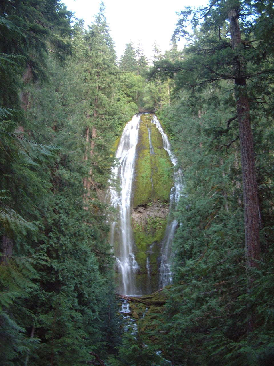
Photo: Robert Ashworth from Bellingham, WA., USA, CC BY 2.0 (via Wikimedia Commons)Proxy Falls Trail #3532
~9 min drive
1.72-mile out-and-back trail with 451 ft gain in Oregon
 Photo: Bonnie Moreland (free images), Public Domain Mark (via Flickr)
Scott Trail #3531
~10 min drive
10.54-mile out-and-back trail in Oregon with 1,914 ft elevation gain/loss