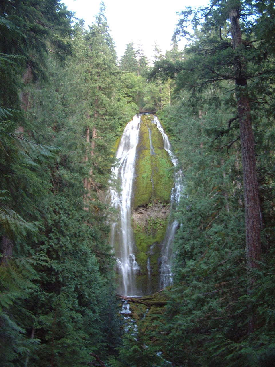
Alder Springs Campground
Campground
Campground · 4.9 mi from the trail
 Photo: U.S. Forest Service- Pacific Northwest Region, Public domain (via Wikimedia Commons)
Caution today
Agency alerts are in effect for this area; weather is good · USFS, OpenWeather · checked 5 h ago
Closure in the area
There's a closure order in Willamette National Forest. It doesn't name Buck Meadows, so check the source for the area it covers.
Cedar Creek Fire Closure
Agency closure covering Willamette National Forest · Order 06-18-10-26-04 · USFS · Willamette National Forest
FIRE CLOSURES: Current wildfire closures on the Willamette National Forest
Agency alert covering Willamette National Forest · USFS · Willamette National Forest
As of · Source: USFS · Willamette National Forest. Agencies don't list every closure — check before you go.
Buck Meadows is an easy out-and-back hike of about 1.9 miles in the Three Sisters Wilderness, within the McKenzie River Ranger District of the Willamette National Forest in Oregon. The trail is managed by the Forest Service and sits at roughly 5,380 feet, with a high point of about 5,771 feet. The climb is front-loaded, with the steepest stretch at about 0.13 miles from the start, and the total gain is about 491 feet for the round trip. The trail is on natural surface and allows horses. Bikes are not permitted. Summer is the most comfortable time to go. Typical averages from a nearby weather station in Sunriver, which sits well below the trail, show July highs around 84°F and lows near 41°F. Winter is cold, with January highs around 40°F and lows near 20°F. The hike takes about an hour. The trail is open year-round. Substitute Point is about 0.7 miles away, and Separation Creek offers canoeing about 1.6 miles off. Alder Springs Campground is about 4.9 miles away, and the Three Sisters Wilderness climbing area is about 6.4 miles away.
Alder Springs Campground
Campground
Takoda's
Restaurant
Clearwater Gallery
Gallery
Places © OpenStreetMap contributors
More in SistersNot on Roamze yet. Their page has how to reach them.
Best months: May–September. Best months have typical highs of 55–85 °F, lows of 30 °F or warmer (32 °F where the station doesn't record snow), at most one snowy day and no more than 12 wet days.
Jan
40° / 20°
Feb
43° / 21°
Mar
50° / 24°
Apr
57° / 25°
May
65° / 33°
Jun
72° / 37°
Jul
84° / 41°
Aug
83° / 40°
Sep
76° / 34°
Oct
62° / 28°
Nov
46° / 24°
Dec
37° / 19°
Typical high / low (°F) and days with rain or snow, 1991–2020. Measured at Sunriver, OR, 27.9 mi away at 4,180 ft. The station sits about 1,600 ft lower than this place, so expect it a little cooler here. This station doesn't record snowfall. Source: NOAA NCEI U.S. Climate Normals 1991–2020.
 Photo: Forest Service Pacific Northwest Region, Public Domain Mark (via Flickr)
Substitute Point
~1 min drive
1.40-mile out-and-back trail at Substitute Point in Oregon, 451 ft gain.
 Photo: inkknife_2000 (7.5 million views +), CC BY-SA 2.0 (via Wikimedia Commons)
Linton Lake
~7 min drive
3.32-mile out-and-back trail to Linton Lake in Oregon with 653 ft gain.
 Photo: Don Henise, CC BY 2.0 (via Flickr)
Camp Lake
~11 min drive
10-mile out-and-back trail to Camp Lake in Oregon with 249 ft gain.
HIKE
Separation Lake Trail #3536
~8 min drive
15.88-mile out-and-back trail in Oregon with 3,412 ft elevation gain
 Photo: Robert Ashworth from Bellingham, WA., USA, CC BY 2.0 (via Wikimedia Commons)
Proxy Falls Trail #3532
~8 min drive
1.72-mile out-and-back trail with 451 ft gain in Oregon
 Photo: bzo, CC BY-SA 2.0 (via Flickr)
South Sister Climber
~12 min drive
South Sister Climber is a 3.60-mile out-and-back trail in Oregon with 802 ft of elevation gain.
 Photo: Bonnie Moreland (free images), Public Domain Mark (via Flickr)
Scott Trail #3531
~12 min drive
10.54-mile out-and-back trail in Oregon with 1,914 ft elevation gain/loss
HIKE
HORSE CREEK
~12 min drive
25.06-mile out-and-back trail in Oregon with 3,737 ft elevation gain
 Photo: owen galen jones, CC BY-SA 2.0 (via Flickr)
Golden Lake Old Trail
~14 min drive
0.59-mile out-and-back trail at Golden Lake with 25 ft gain and 216 ft loss.
 Photo: Bonnie Moreland (free images), Public Domain Mark (via Flickr)
Elk-Devils
~13 min drive
11.32-mile out-and-back trail in Oregon with 758 ft elevation gain.