Crane Mountain National Recreation Trail
- 0.7 mi
- round trip
- 402 ft
- climb
- 6,654 ft
- high point
- Out and back
- route
- May–Oct
- best months
Is Crane Mountain National Recreation Trail open right now?
No closures listed
The Forest Service lists no closures for Fremont-Winema National Forest.
As of · Source: USFS · Fremont-Winema National Forest. Agencies don't list every closure — check before you go.
The Crane Mountain National Recreation Trail is a short, easy out-and-back hike in Oregon's Fremont-Winema National Forest, within the Lakeview Ranger District. The trail is managed by the Forest Service and sits at about 6,650 feet, with a rolling climb that peaks at that same elevation and then descends back down. The total round-trip gain is about 400 feet, and the steepest part of the route comes roughly two-thirds of the way along, with a grade of about 14 percent. The most comfortable time to go is summer. Typical averages from a nearby weather station show July highs near 79°F with lows around 48°F, and only about three wet days in the month. Winter is cold, with January highs around 35°F and lows near 22°F. The Rogger Peak Loop lies just 0.1 mile away, and the SPUR THRU BALLARD CANYON and Nordic Trail #146D are both about 0.6 mile off. Twin Springs Campground is about 2.5 miles away for an overnight stay.
- Rogger Peak LoopHiking0.1 mi
- SPUR THRU BALLARD CANYONHiking0.6 mi
- NORDIC TRAIL #146DHiking0.6 mi
- Nordic Trail #146CCross-country skiing0.6 mi
- Twin Springs CampgroundCamping2.5 mi
- Willow CreekCamping6 mi
- Mud CreekCamping8.5 mi
- Deep Creek Forest CampCamping8.7 mi
Source: Roamze catalog (indexable pages within 10 miles, PostGIS distance)
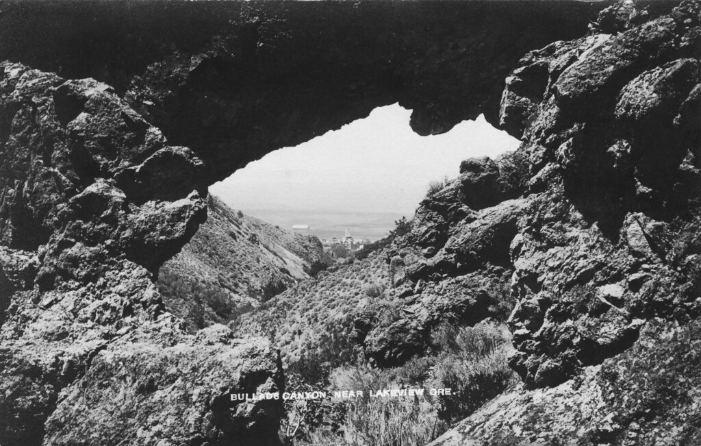 Bullard Canyon TrailHiking · ~8 min drivePhoto: OSU Special Collections & Archives : Commons, No known copyright restrictions (via Flickr)
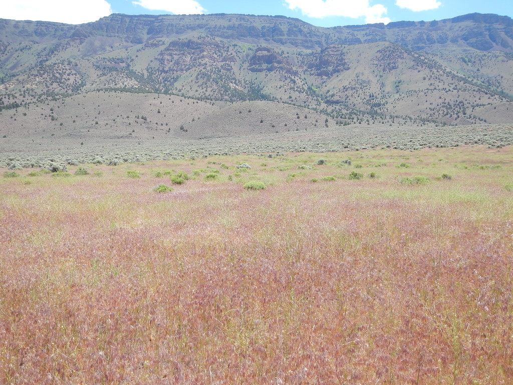 Hart Bar Interpretive TrailHiking · ~50 min drivePhoto: Matt Lavin, CC BY-SA 2.0 (via Flickr)
 MAIN TRAIL SOUTHHiking · ~53 min drivePhoto: Gary Halvorson, Oregon State Archives, CC BY 4.0 (via Wikimedia Commons)
- Crane Mtn. Nat'l Rec TrailHiking · ~2 min drive
- Rogger Peak LoopHiking · Next door
- QUARTZ VALLEY NORDIC LOOPHiking · ~52 min drivePhoto: Gary Halvorson, Oregon State Archives, CC BY 4.0 (via Wikimedia Commons)
- QUARTZ NORDIC EAST LOOPHiking · ~53 min drivePhoto: Gary Halvorson, Oregon State Archives, CC BY 4.0 (via Wikimedia Commons)
- Southern Oregon Intertie TrailHiking · ~32 min drive
- NORDIC TRAIL #146BHiking · ~2 min drive
- NORDIC TRAIL #146EHiking · ~5 min drive
Best time to visit Crane Mountain National Recreation Trail
Best months: May–October. Best months have typical highs of 55–85 °F, lows of 30 °F or warmer (32 °F where the station doesn't record snow), at most one snowy day and no more than 12 wet days.
Jan
35° / 22°
12 wet
Feb
35° / 20°
12 wet
Mar
43° / 23°
14 wet
Apr
49° / 27°
12 wet
May
58° / 34°
10 wet
Jun
68° / 41°
7 wet
Jul
79° / 48°
3 wet
Aug
78° / 47°
3 wet
Sep
71° / 42°
4 wet
Oct
57° / 32°
6 wet
Nov
42° / 25°
10 wet
Dec
33° / 20°
12 wet
Typical high / low (°F) and days with rain or snow, 1991–2020. Measured at Denio 52 Wsw, NV, 38.9 mi away at 6,500 ft. This station doesn't record snowfall. Source: NOAA NCEI U.S. Climate Normals 1991–2020.
Map and trail data © OpenStreetMap contributors
