Cedar Grove Trail
- 0.5 mi
- round trip
- 144 ft
- climb
- 343 ft
- high point
- Out and back
- route
- Mar–Oct
- best months
Cedar Grove Trail is a short, easy hike of about 0.45 miles in Newell Creek Canyon on Regional Agency Land in Oregon. It's a front-loaded out-and-back route, with the steepest stretch at the start, about 0.17 miles in, and the highest point at 343 feet. The total climb is about 144 feet, and the trail is about 0.9 miles long round trip. Late spring and early fall are the most comfortable times to go. Typical averages from the nearby Oregon City weather station, which sits about 176 feet below the trail, run to highs around 71°F in May and 78°F in September, with summer highs in the mid-80s. Several other trails and rides start close by. Canyon Spring Loop and Tumble Falls Trail are both about 0.2 miles away, and Heavy Nettle, a mountain biking route, is about 0.2 miles off. For paddling, Abernethy Creek is about 2.7 miles away.
Local outfitters
- Horseback Riding Adventures Oregon12 mi away
- Wildwood Adventures13 mi away
Not on Roamze yet. Their page has how to reach them.
Best time to go · Mar–Oct
Best time to visit Cedar Grove Trail
Best months: March–October. Best months have typical highs of 55–85 °F, lows of 30 °F or warmer (32 °F where the station doesn't record snow), at most one snowy day and no more than 12 wet days.
Jan
48° / 37°
Feb
52° / 38°
Mar
58° / 40°
Apr
64° / 43°
May
71° / 48°
Jun
76° / 53°
Jul
84° / 57°
Aug
84° / 57°
Sep
78° / 53°
Oct
65° / 47°
Nov
53° / 41°
Dec
47° / 36°
Typical high / low (°F) and days with rain or snow, 1991–2020. Measured at Oregon City, OR, 1.7 mi away at 167 ft. This station doesn't record snowfall. Source: NOAA NCEI U.S. Climate Normals 1991–2020.
Keep exploring — more trails worth the drive
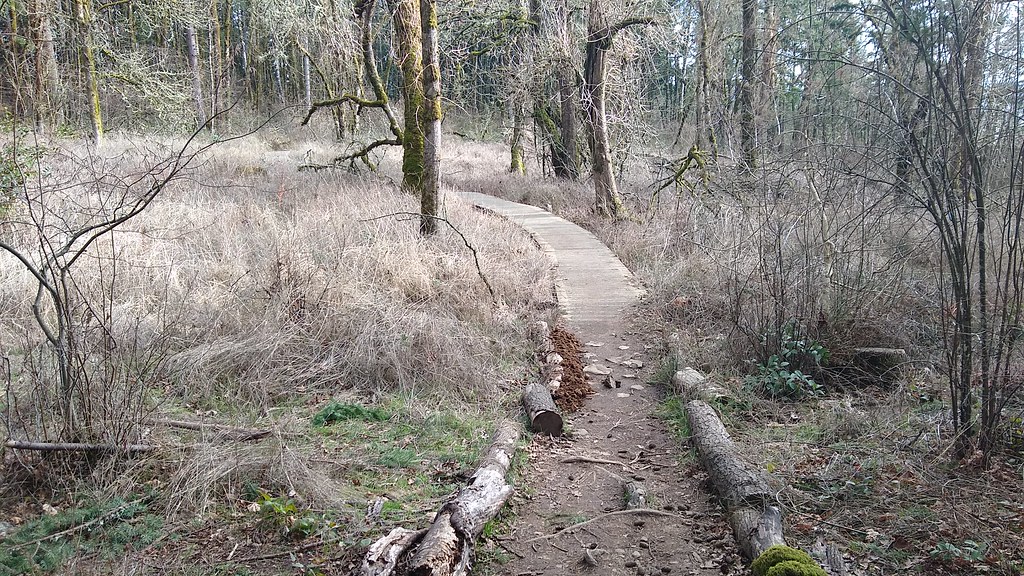 Photo: mjfmjfmjf, CC BY 2.0 (via Flickr)
I-205 Multi-Use Path
~5 min drive
3.32-mile out-and-back trail along I-205 in Oregon with 463 ft elevation gain
HIKE
Goose Hollow to Tryon Creek Trail
~13 min drive
Nearly 10-mile point-to-point trail linking Goose Hollow to scenic Tryon Creek.
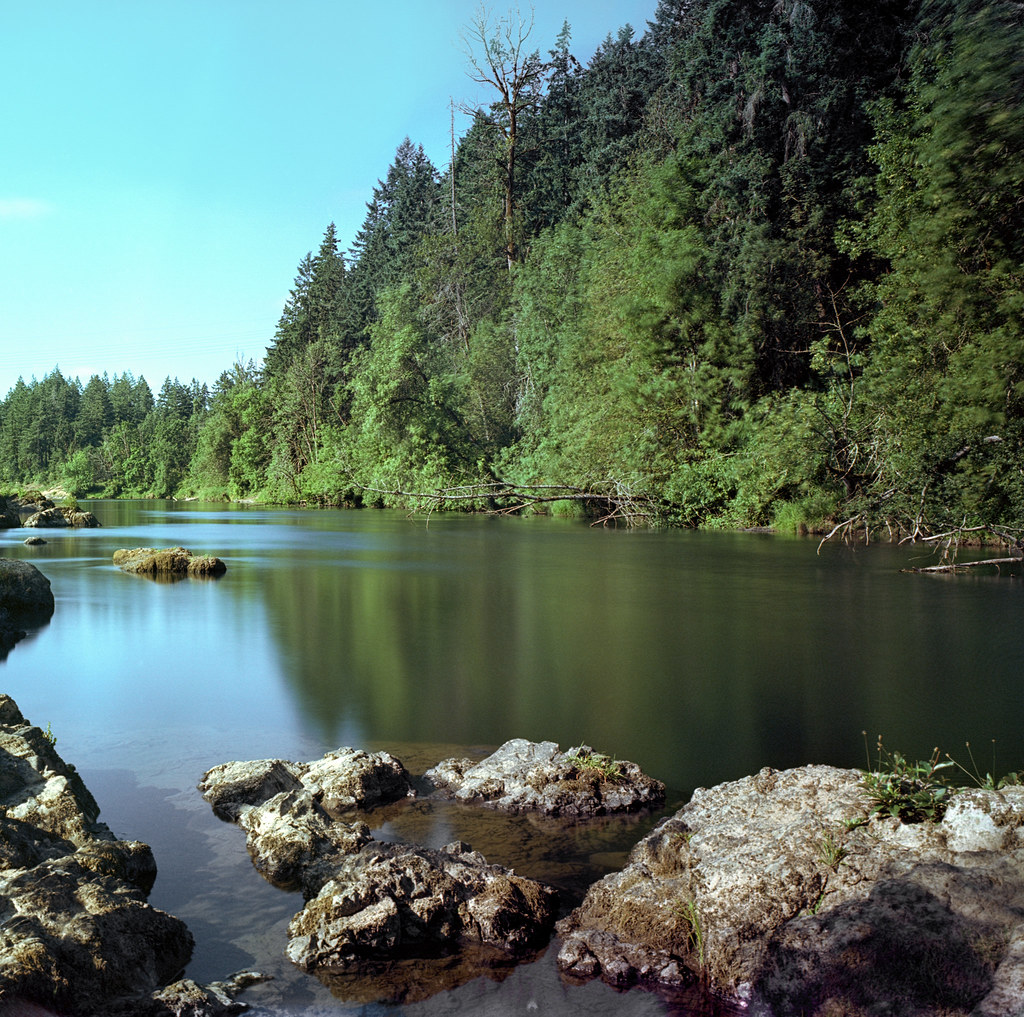 Photo: Kayaker Bill, CC BY 2.0 (via Flickr)
River Bank Trail
~8 min drive
0.96-mile out-and-back hike on River Bank Trail in Oregon with 274 ft of elevation gain.
 Photo: mjfmjfmjf, CC BY 2.0 (via Flickr)
Summit Trail
~10 min drive
0.56-mile out-and-back summit trail in Oregon with 165 ft gain.
Photo: mjfmjfmjf, CC BY 2.0 (via Flickr)West Ridge Trail
~10 min drive
0.55-mile out-and-back trail in Oregon with 175 ft gain.
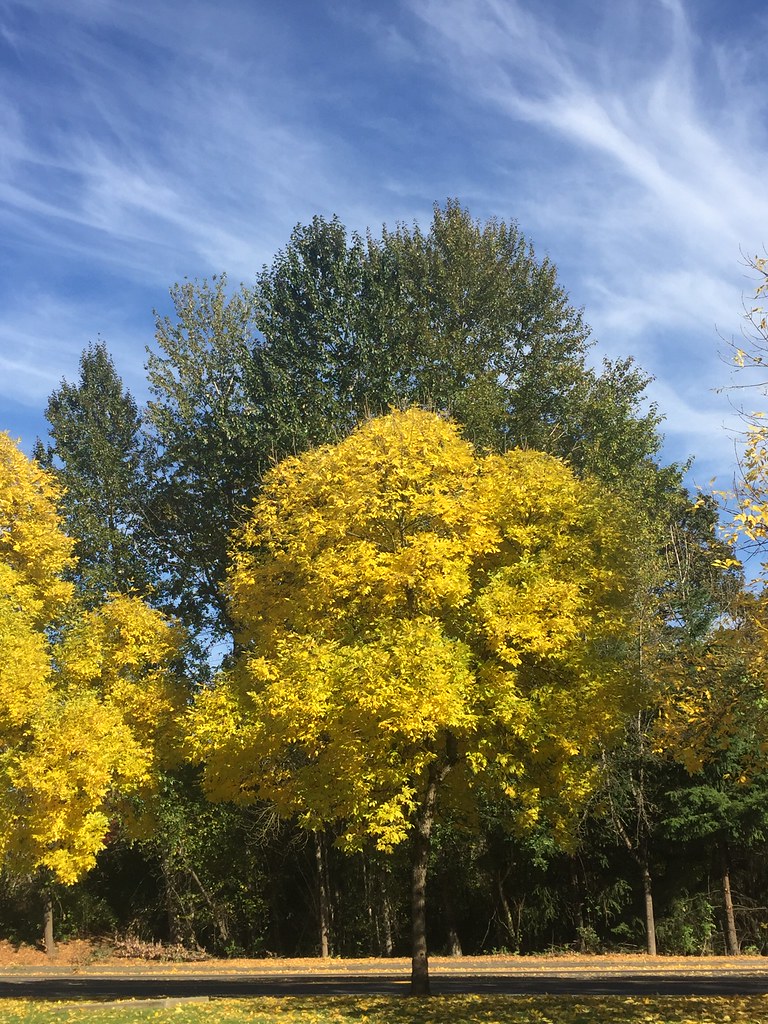 Photo: lexly87 aka Duc N. Ly, CC BY-SA 2.0 (via Flickr)
I-205 Multi-Use Path
~11 min drive
Easy 1-mile paved out-and-back path in the Portland area.
 Photo: mjfmjfmjf, CC BY 2.0 (via Flickr)
Park Loop Trail
~11 min drive
1.22-mile out-and-back trail in Oregon with 788 ft gain.
 Photo: Ian Poellet (User:Werewombat), CC BY-SA 3.0 (via Wikimedia Commons)
Riverside Trail
~12 min drive
0.88-mile out-and-back Riverside Trail in Oregon with 85 ft elevation gain.
Photo: Ian Poellet (User:Werewombat), CC BY-SA 3.0 (via Wikimedia Commons)Pond Loop Trail
~12 min drive
0.35-mile loop trail in Oregon with 34 ft elevation gain.
 Photo: GrannyFranny2009, CC BY 2.0 (via Flickr)
East Buttes Power Line Corridor Trail
~13 min drive
Easy 0.44-mile out-and-back walk along a power line corridor.
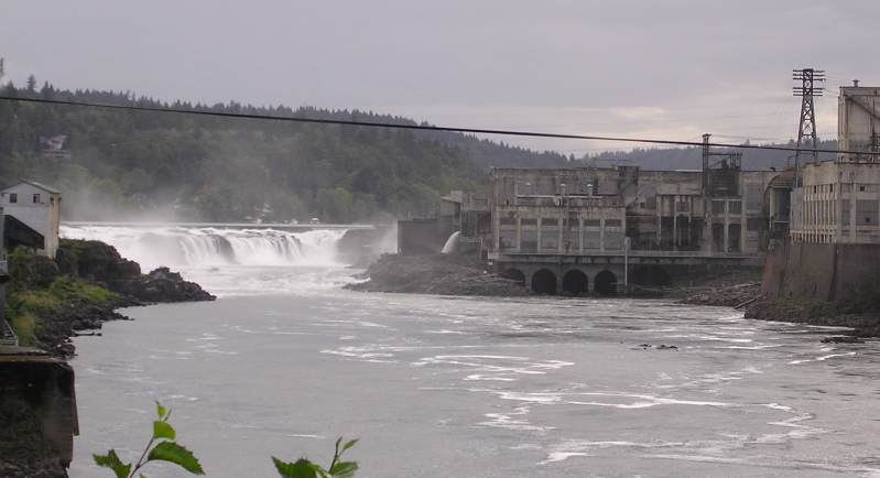
Map and trail data © OpenStreetMap contributors
