Summit Trail
 Photo: mjfmjfmjf, CC BY 2.0 (via Flickr)
- 0.6 mi
- round trip
- 304 ft
- climb
- 745 ft
- high point
- Out and back
- route
- Mar–Oct
- best months
Summit Trail is a short, easy out-and-back hike in Mount Talbert Nature Park, a regional agency land unit in Oregon. The trail is about a mile long, with a total elevation gain of about 300 feet, and it reaches a high point of 745 feet. The climb is front-loaded, with the steepest stretch at about 0.4 miles, where the grade reaches 13 percent. The most comfortable months for a visit are typically late spring and early fall. Typical averages from a nearby weather station in Oregon City show May highs around 71°F and September highs around 78°F, while July and August average about 84°F. That station sits well below the trail, so temperatures on the summit run cooler. The hike takes about half an hour. West Ridge Trail and Park Loop Trail both start within a third of a mile, and Mount Scott Trail is about 1.6 miles away.
Local outfitters
- Beach Bandit Crab Snares9 mi away
- Wildwood Adventures9 mi away
Not on Roamze yet. Their page has how to reach them.
Best time to go · Mar–Oct
Best time to visit Summit Trail
Best months: March–October. Best months have typical highs of 55–85 °F, lows of 30 °F or warmer (32 °F where the station doesn't record snow), at most one snowy day and no more than 12 wet days.
Jan
48° / 37°
Feb
52° / 38°
Mar
58° / 40°
Apr
64° / 43°
May
71° / 48°
Jun
76° / 53°
Jul
84° / 57°
Aug
84° / 57°
Sep
78° / 53°
Oct
65° / 47°
Nov
53° / 41°
Dec
47° / 36°
Typical high / low (°F) and days with rain or snow, 1991–2020. Measured at Oregon City, OR, 5.4 mi away at 167 ft. The station sits about 600 ft lower than this place, so expect it a little cooler here. This station doesn't record snowfall. Source: NOAA NCEI U.S. Climate Normals 1991–2020.
Keep exploring — more trails worth the drive
Photo: mjfmjfmjf, CC BY 2.0 (via Flickr)West Ridge Trail
Next door
0.55-mile out-and-back trail in Oregon with 175 ft gain.
HIKE
Springwater Corridor
~10 min drive
Flat out-and-back trail following a historic rail corridor in Oregon.
 Photo: mjfmjfmjf, CC BY 2.0 (via Flickr)
Park Loop Trail
Next door
1.22-mile out-and-back trail in Oregon with 788 ft gain.
 Photo: lexly87 aka Duc N. Ly, CC BY-SA 2.0 (via Flickr)
I-205 Multi-Use Path
~1 min drive
Easy 1-mile paved out-and-back path in the Portland area.
 Photo: GrannyFranny2009, CC BY 2.0 (via Flickr)
East Buttes Power Line Corridor Trail
~4 min drive
Easy 0.44-mile out-and-back walk along a power line corridor.
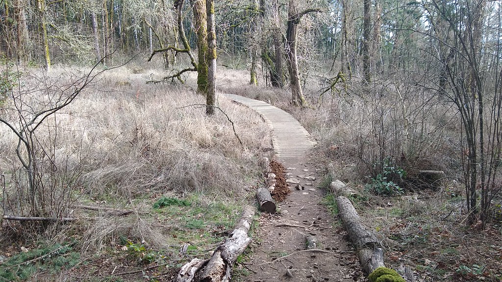 Photo: mjfmjfmjf, CC BY 2.0 (via Flickr)
I-205 Multi-Use Path
~5 min drive
3.32-mile out-and-back trail along I-205 in Oregon with 463 ft elevation gain
 Photo: oregondave, CC BY-SA 3.0 (via Wikimedia Commons)
Cedar Grove Trail
~7 min drive
1.16-mile out-and-back trail in Oregon with 409 ft elevation gain
 Photo: mjfmjfmjf, CC BY 2.0 (via Flickr)
Douglas Fir Trail
~8 min drive
1.2-mile out-and-back hike in Oregon with 275 ft elevation gain
Photo: oregondave, CC BY-SA 3.0 (via Wikimedia Commons)Elderberry Trail
~8 min drive
1.64-mile out-and-back trail in Oregon with 579 ft elevation gain
Photo: mjfmjfmjf, CC BY 2.0 (via Flickr)Hawthorn Trail
~8 min drive
1.56-mile out-and-back trail in Oregon with 401 ft elevation gain.
Route details
- Distance
- 0.6 mi round trip
- Climbing
- About 304 ft
- Summit
- 746 ft
- Difficulty
- Easy
- Time
- About 0.5 hours
Other routes up Mount Talbert
Questions about this route
How long is the Summit Trail on Mount Talbert?
About 0.6 mi round trip.
How much elevation gain is on the Summit Trail?
About 304 ft of climbing round trip.
How hard is the Summit Trail?
It is rated easy.
How long does the Summit Trail take?
About 0.5 hours round trip.
How many routes go up Mount Talbert?
2: Summit Trail and Mount Scott Trail.
Conditions and forecast on Mount Talbert
Daily highs and lows, wind and the chance of precipitation at the summit and route start for the next 7 days, from the Open-Meteo model.
Map and trail data © OpenStreetMap contributors
