Oregon · Boat launch
Clackamette Park Boat Ramp
- Mar–Oct
- best months
Clackamette Park Boat Ramp is a boat launch in Oregon.
- Camassia TrailHiking1.2 mi
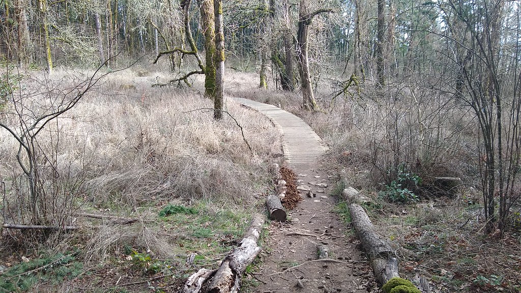 I-205 Multi-Use PathHikingPhoto: mjfmjfmjf, CC BY 2.0 (via Flickr)1.4 mi
- Heron Creek Loop TrailHiking1.7 mi
- Abernethy CreekCanoeing4.9 mi
- Carver BoulderingRock climbing5.2 mi
- Rockgarden WallRock climbing5.2 mi
- Main ForestRock climbing5.2 mi
 Fanno CreekCanoeingPhoto: Finetooth, CC BY-SA 3.0 (via Wikimedia Commons)9.5 mi
Source: Roamze catalog (indexable pages within 10 miles, PostGIS distance)
- Fanno CreekCanoeing · ~16 min drivePhoto: Finetooth, CC BY-SA 3.0 (via Wikimedia Commons)
- Dahl BeachBoat launch · Next door
- Abernethy CreekCanoeing · ~8 min drive
- Willamette Park, West LinnBoat launch · ~6 min drive
- Clear CreekCanoeing · ~21 min drive
- George Rogers ParkBoat launch · ~7 min drive
- Deep CreekCanoeing · ~23 min drive
- Sellwood Riverfront ParkBoat launch · ~12 min drive
- Milk CreekCanoeing · ~24 min drive
- Willamette ParkBoat launch · ~13 min drive
Also worth it near here
Best time to visit Clackamette Park Boat Ramp
Best months: March–October. Best months have typical highs of 55–85 °F, lows of 30 °F or warmer (32 °F where the station doesn't record snow), at most one snowy day and no more than 12 wet days.
Jan
48° / 37°
Feb
52° / 38°
Mar
58° / 40°
Apr
64° / 43°
May
71° / 48°
Jun
76° / 53°
Jul
84° / 57°
Aug
84° / 57°
Sep
78° / 53°
Oct
65° / 47°
Nov
53° / 41°
Dec
47° / 36°
Typical high / low (°F) and days with rain or snow, 1991–2020. Measured at Oregon City, OR, 1.1 mi away at 167 ft. This station doesn't record snowfall. Source: NOAA NCEI U.S. Climate Normals 1991–2020.
Map and trail data © OpenStreetMap contributors
