Cat Hill Way Trail
- 3.5 mi
- round trip
- 1,569 ft
- climb
- 6,549 ft
- high point
- Out and back
- route
- Jun–Sep
- best months
Is Cat Hill Way Trail open right now?
Alert in the area
The Forest Service lists an alert for High Cascades Ranger District.
Fish Lake Boat Ramp Closure
Agency alert covering High Cascades Ranger District · Order 06-10-24-26-02 · USFS · High Cascades Ranger District
As of · Source: USFS · High Cascades Ranger District. Agencies don't list every closure — check before you go.
Cat Hill Way Trail is a 7-mile out-and-back hike in Oregon's Sky Lakes Wilderness, within the High Cascades Ranger District of the Rogue River-Siskiyou National Forests. The Forest Service manages the land, and the trail starts at the Blue Canyon Trailhead, about 3 hours from the trailhead to the high point. The route climbs steadily from a starting elevation of about 6,274 feet to a high point of 6,549 feet, with a total gain of 1,569 feet. The steepest stretch comes at about 3.2 miles, where the grade reaches 20%. The trail is rated moderate. Summer is the most comfortable time to go. Typical averages from a nearby weather station at a similar elevation show July and August highs around 69°F with only about four wet days a month, while winter months bring highs in the low 30s and rain on most days. Blue Canyon and Meadow Lake are both within about 2 miles. Fourmile Lake Campground and Whiskey Springs Campground are a little over 4 to 7 miles away.
Local outfitters
- Sky Lakes Wilderness Adventures22 mi away
- The Fishin Hole Fly Shop27 mi away
Not on Roamze yet. Their page has how to reach them.
Conditions and forecast on Cat Hill
Daily highs and lows, wind and the chance of precipitation at the summit and route start for the next 7 days, from the Open-Meteo model.
- Blue CanyonHiking0.9 mi
- Blue Canyon TrailHiking1.5 mi
- Meadow LakeHiking1.6 mi
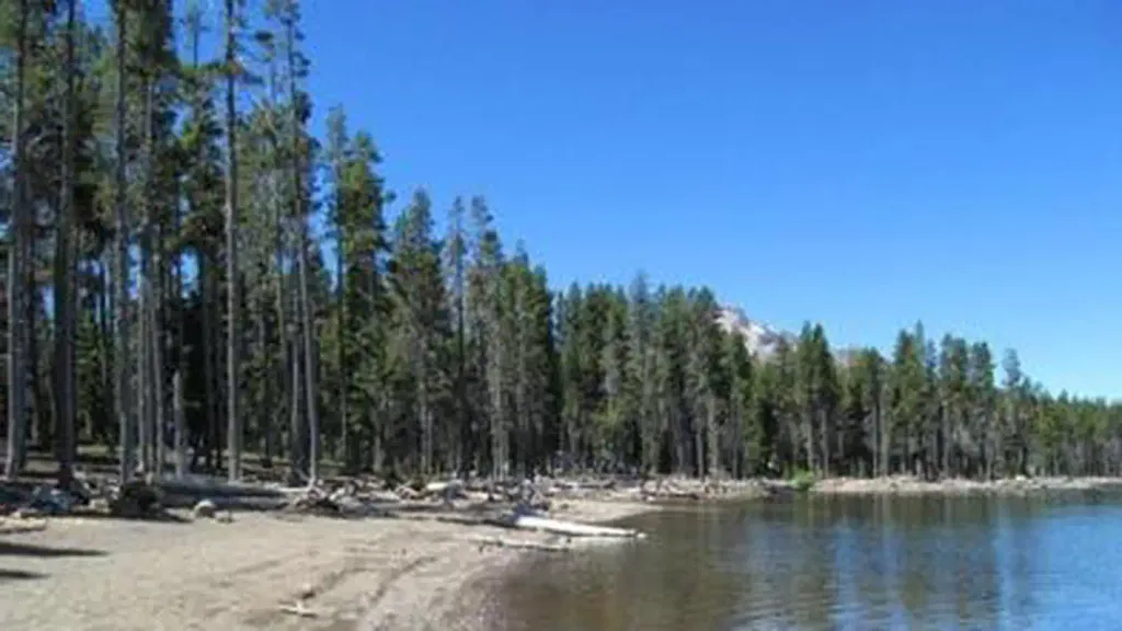 Fourmile Lake CampgroundCampingPhoto: Recreation.gov (RIDB) / public domain4.8 mi
- Fourbit Ford CampgroundCamping5.8 mi
- Whiskey Springs CampgroundCamping6.7 mi
- South Fork Big Butte CreekCanoeing8.4 mi
- Willow CreekCanoeing8.8 mi
Source: Roamze catalog (indexable pages within 10 miles, PostGIS distance)
 South Fork WildernessHiking · ~6 min drivePhoto: Forest Service Pacific Northwest Region, Public Domain Mark (via Flickr)
 Twin PondsHiking · ~7 min drivePhoto: ex_magician, CC BY 2.0 (via Flickr)
- Twin Ponds TrailHiking · ~7 min drivePhoto: ex_magician, CC BY 2.0 (via Flickr)
- DIAMOND LAKE SNOMOHiking · ~10 min drive
 Snow LakesHiking · ~10 min drivePhoto: ex_magician, CC BY 2.0 (via Flickr)
 Isherwood TrailHiking · ~10 min drivePhoto: ex_magician, CC BY 2.0 (via Flickr)
- Sky LakesHiking · ~8 min drivePhoto: ex_magician, CC BY 2.0 (via Flickr)
 Upper Canal Nordic TrailHiking · ~10 min drivePhoto: Holzwerk, CC BY 2.0 (via Flickr)
 South Rock Creek TrailHiking · ~10 min drivePhoto: U.S. Forest Service- Pacific Northwest Region, Public domain (via Wikimedia Commons)
- Cold Spring TrailHiking · ~9 min drivePhoto: ex_magician, CC BY 2.0 (via Flickr)
Best time to visit Cat Hill Way Trail
Best months: June–September. Best months have typical highs of 55–85 °F, lows of 30 °F or warmer (32 °F where the station doesn't record snow), at most one snowy day and no more than 12 wet days.
Jan
33° / 20°
18 wet
Feb
34° / 19°
17 wet
Mar
36° / 20°
18 wet
Apr
40° / 23°
16 wet
May
49° / 29°
12 wet
Jun
57° / 34°
7 wet
Jul
69° / 41°
4 wet
Aug
69° / 42°
4 wet
Sep
63° / 37°
6 wet
Oct
51° / 30°
10 wet
Nov
38° / 23°
16 wet
Dec
33° / 19°
18 wet
Typical high / low (°F) and days with rain or snow, 1991–2020. Measured at Crater Lake Nps Hq, OR, 26.7 mi away at 6,485 ft. This station doesn't record snowfall. Source: NOAA NCEI U.S. Climate Normals 1991–2020.
Closures we've recorded since August 2026
Stage 2 Public Use Fire Restrictions (Forest-wide)
Rogue River-Siskiyou National Forests · Order dated September 4, 2026; seen Sep 3, 2026 → lifted Oct 28, 2026 · Forest Service
Stage 3 Public Use Fire Restrictions (Forest-wide)
Rogue River-Siskiyou National Forests · Order dated July 17, 2026; seen Aug 23, 2026 → lifted Sep 3, 2026 · Forest Service

Route details
- Distance
- 3.5 mi round trip
- Climbing
- About 1,569 ft
- Starts at
- Blue Canyon Trailhead
- Summit
- 6,385 ft
- Difficulty
- Moderate
- Time
- About 1.5 hours
Questions about this route
How long is the Cat Hill Way Trail on Cat Hill?
About 3.5 mi round trip from Blue Canyon Trailhead.
How much elevation gain is on the Cat Hill Way Trail?
About 1,569 ft of climbing round trip.
How hard is the Cat Hill Way Trail?
It is rated moderate.
Where does the Cat Hill Way Trail start?
Blue Canyon Trailhead.
How long does the Cat Hill Way Trail take?
About 1.5 hours round trip.
Map and trail data © OpenStreetMap contributors
