Todd Creek Horse Camp
Campground
Campground · 4.6 mi from the trail
Closure in the area
There's a closure order in Deschutes National Forest. It doesn't name Bridge Creek, so check the source for the area it covers (3 listed).
West Bend Area Trail Closures
Agency closure covering Deschutes National Forest · USFS · Deschutes National Forest
West Bend IRSC- Area, Road and Trail Closure
Agency closure covering Bend/Fort Rock Ranger District · Order 06-01-01-26-03 · USFS · Bend/Fort Rock Ranger District
Cabin Butte Area Closure
Agency closure covering Bend/Fort Rock Ranger District · Order 06-01-01-26-01 · USFS · Bend/Fort Rock Ranger District
Camping & Campfire Restrictions Forest Order
Agency alert covering Deschutes National Forest · Order 06-01-26-01 · USFS · Deschutes National Forest
Cave Resource Protection Forest Order
Agency alert covering Deschutes National Forest · Order 06-01-26-02 · USFS · Deschutes National Forest
As of · Source: USFS · Deschutes National Forest. Agencies don't list every closure — check before you go.
Bridge Creek is a 4-mile out-and-back hike in the Bend/Fort Rock Ranger District of Deschutes National Forest in Oregon, managed by the Forest Service. The trail is rated moderate, with a one-way climb of about 500 feet and a total round-trip gain of about 1,300 feet. The steepest stretch comes at about 1.4 miles in, with a grade of about 13 percent. The most comfortable months for a visit are typically June through September. Typical averages from a nearby weather station in Sunriver run from highs around 72°F in June to about 84°F in July, with September easing back to about 76°F. That station sits roughly 1,400 feet lower than the trail's high point, so temperatures on the route run cooler. The trail is on natural surface, and the Forest Service lists it as closed to bikes and horses. Swampy Lakes Trail #23 and South Fork Trail #25 both lie within about a mile. Three Creeks Lake Campground is about 4.8 miles away, and Cougar Buttress, a climbing area, is about 2.7 miles off.
Todd Creek Horse Camp
Campground
Bend Pizza Kitchen
Restaurant
Clearwater Gallery
Gallery
Places © OpenStreetMap contributors
More in SistersNot on Roamze yet. Their page has how to reach them.
Best months: May–September. Best months have typical highs of 55–85 °F, lows of 30 °F or warmer (32 °F where the station doesn't record snow), at most one snowy day and no more than 12 wet days.
Jan
40° / 20°
Feb
43° / 21°
Mar
50° / 24°
Apr
57° / 25°
May
65° / 33°
Jun
72° / 37°
Jul
84° / 41°
Aug
83° / 40°
Sep
76° / 34°
Oct
62° / 28°
Nov
46° / 24°
Dec
37° / 19°
Typical high / low (°F) and days with rain or snow, 1991–2020. Measured at Sunriver, OR, 13.3 mi away at 4,180 ft. The station sits about 1,400 ft lower than this place, so expect it a little cooler here. This station doesn't record snowfall. Source: NOAA NCEI U.S. Climate Normals 1991–2020.
 Photo: lamblukas, CC BY 2.0 (via Flickr)
Swampy Lakes Trail #23
~1 min drive
2.38-mile out-and-back hike in Oregon with 1,032 ft gain.
 Photo: Don Henise, CC BY 2.0 (via Flickr)
Swampy Lakes Trail #23
~2 min drive
0.69-mile out-and-back hike with 261 ft gain at Swampy Lakes Trail #23, Oregon
 Photo: Don Henise, CC BY 2.0 (via Flickr)
Bridge Creek Trail #24
~3 min drive
5.38-mile out-and-back trail in Oregon with 1,949 ft elevation gain.
Photo: Don Henise, CC BY 2.0 (via Flickr)South Fork Trail #25
~2 min drive
1.38-mile out-and-back trail in Oregon with 220 ft elevation gain.
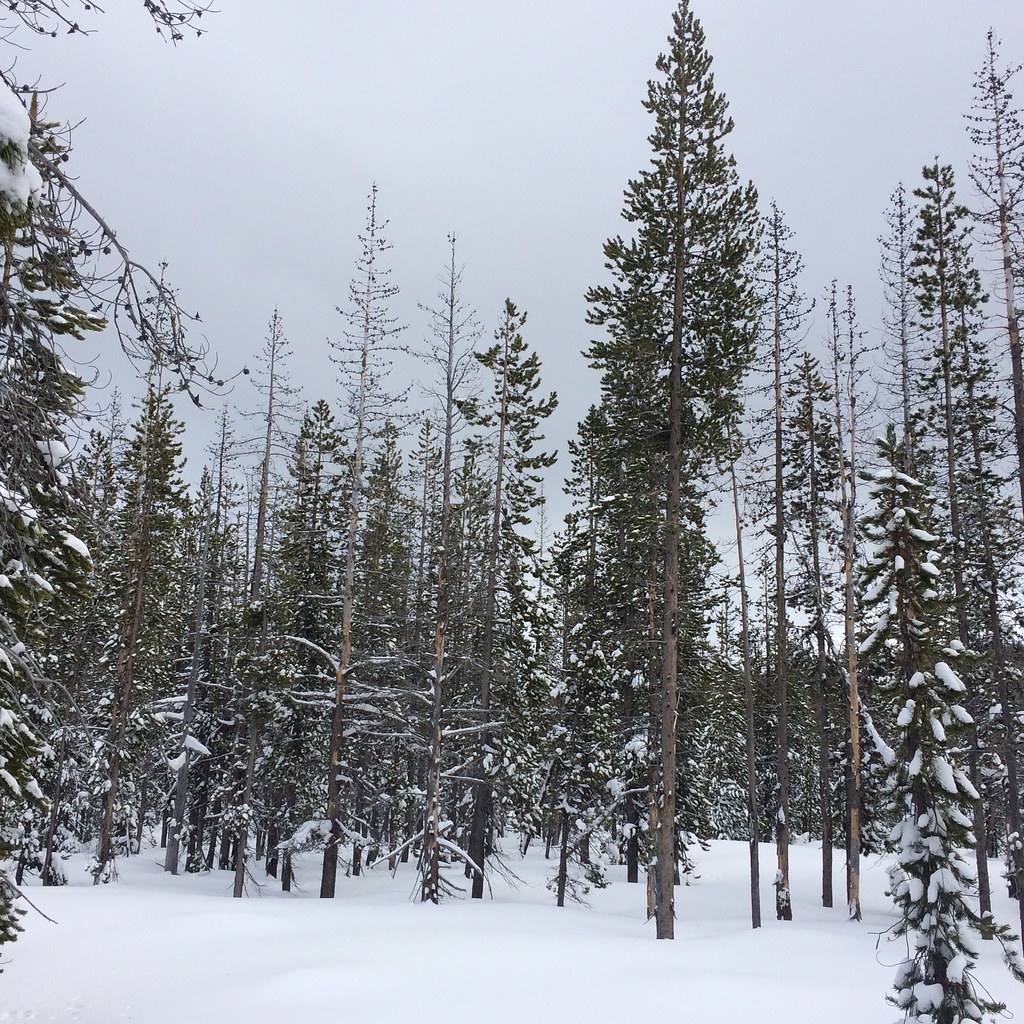 Photo: bilbord99, CC BY 2.0 (via Flickr)
Swampy Loop
~3 min drive
2.60-mile out-and-back trail in Oregon with 6,135 ft elevation gain.
 Photo: dogplusplus, CC BY 2.0 (via Flickr)
Mrazek Trail
~4 min drive
12.43-mile point-to-point hike in Oregon with 426 ft gain and 2,269 ft loss.
Photo: Don Henise, CC BY 2.0 (via Flickr)North Fork
~3 min drive
3.20-mile out-and-back trail in Oregon with 831 ft gain
Photo: bilbord99, CC BY 2.0 (via Flickr)RIDGE LOOP
~4 min drive
4.34-mile out-and-back trail in Oregon with 930 ft elevation gain.
Photo: dogplusplus, CC BY 2.0 (via Flickr)Farewell
~4 min drive
6.58-mile out-and-back trail in Oregon with 814 ft gain.
 Photo: lamblukas, CC BY 2.0 (via Flickr)
Tumalo Ridge Trail #25.2
~4 min drive
4.44-mile out-and-back trail in Oregon with 1,636 ft gain and loss.

