Blue Basin Loop Hike
- 3.2 mi
- one way
- 848 ft
- climb
- 2,906 ft
- high point
- Point to point
- route
- Mar–Jun, Sep–Oct
- best months
Is Blue Basin Loop Hike open right now?
No closures listed
The National Park Service lists no closures for John Day Fossil Beds National Monument.
As of · Source: NPS · John Day Fossil Beds National Monument. Agencies don't list every closure — check before you go.
Blue Basin Loop Hike is a 3.2-mile loop in John Day Fossil Beds National Monument in Oregon, managed by the National Park Service. The trail rises from about 2,144 feet to a high point of 2,906 feet, with a total elevation gain of 848 feet. It is rated easy, and the trip takes about 1.5 hours. The most comfortable months for a visit are late spring and early fall. Typical averages from a nearby weather station show May highs around 73°F and September highs around 82°F, while July and August average in the low 90s. The Island in Time Trail starts just 0.2 miles away, and the Blue Basin Overlook Trail is 0.8 miles off. The Story in Stone Trail lies about 3.9 miles away.
- Island in Time TrailHiking0.2 mi
- Blue Basin Overlook TrailHiking0.8 mi
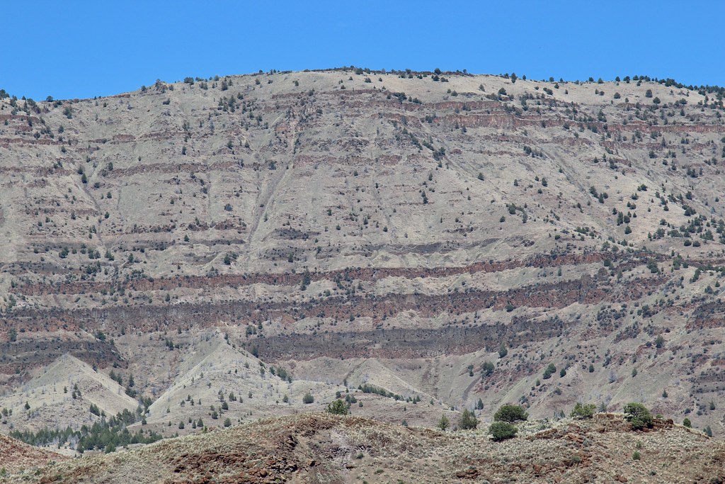 Story in Stone TrailHikingPhoto: daveynin, CC BY 2.0 (via Flickr)3.9 mi
Source: Roamze catalog (indexable pages within 10 miles, PostGIS distance)
- Story in Stone TrailHiking · ~7 min drivePhoto: daveynin, CC BY 2.0 (via Flickr)
 Coffee Pot Trail #820BHiking · ~30 min drivePhoto: xtaxta, CC BY 2.0 (via Wikimedia Commons)
- BLACK CANYONHiking · ~32 min drivePhoto: xtaxta, CC BY 2.0 (via Wikimedia Commons)
- Field TrailHiking · ~39 min drive
- Owl Creek Trail #820AHiking · ~31 min drivePhoto: xtaxta, CC BY 2.0 (via Wikimedia Commons)
 Carroll RimHiking · ~54 min drivePhoto: lamblukas, CC BY 2.0 (via Flickr)
- South Prong Trail #281Hiking · ~34 min drive
- Mcclellan Mountain Trail #216Hiking · ~44 min drive
 Painted Hills OverlookHiking · ~54 min drivePhoto: Moo.The.Cow, CC BY 2.0 (via Flickr)
 Phlo TrailHiking · ~60 min drivePhoto: U.S. Forest Service- Pacific Northwest Region, Public domain (via Wikimedia Commons)
Best time to visit Blue Basin Loop Hike
Best months: March–June and September–October. Best months have typical highs of 55–85 °F, lows of 30 °F or warmer (32 °F where the station doesn't record snow), at most one snowy day and no more than 12 wet days.
Jan
45° / 29°
Feb
50° / 29°
Mar
57° / 33°
Apr
63° / 37°
May
73° / 44°
Jun
81° / 49°
Jul
93° / 55°
Aug
92° / 53°
Sep
82° / 47°
Oct
68° / 39°
Nov
54° / 33°
Dec
46° / 27°
Typical high / low (°F) and days with rain or snow, 1991–2020. Measured at Dayville 8 Nw, OR, 2.8 mi away at 2,260 ft. The station sits about 600 ft lower than this place, so expect it a little cooler here. This station doesn't record snowfall. Source: NOAA NCEI U.S. Climate Normals 1991–2020.
Map and trail data © OpenStreetMap contributors
