Bloom Lake Trail
- 1.4 mi
- round trip
- 688 ft
- climb
- 1,720 ft
- high point
- Out and back
- route
- Jun–Sep
- best months
Bloom Lake Trail is an easy out-and-back hike in Oregon, about 3 miles from the town of Mishawaka. The route is roughly 2.8 miles long, with a total elevation gain of 688 feet, and it reaches a high point of 1,720 feet. The climb is front-loaded, with the steepest stretch at about 0.46 miles in, where the grade reaches 16 percent. Summer is the most comfortable time to go. Typical averages from a nearby weather station in Vernonia show July and August highs around 77 to 78°F with only about four wet days a month, while winter months bring highs in the mid-40s and rain on 20 days a month. That station sits well below the trail, so temperatures on the higher ground run cooler. The trip takes about 1.5 hours. Dooley Spur Loop is about 4 miles away, and the North Fork Salmonberry River and Salmonberry River offer canoeing within about 8 miles. Four County Point Trail is also about 9 miles off.
Local outfitters
- River's Edge RV Resort and Camping24 mi away
- Adventures Without Limits29 mi away
Not on Roamze yet. Their page has how to reach them.
 Dooley Spur LoopHikingPhoto: Deciare, CC BY-SA 2.0 (via Flickr)3.9 mi
- North Fork Salmonberry RiverCanoeing5.5 mi
 Salmonberry RiverCanoeingPhoto: Cheryl Hill, CC BY-SA 2.0 (via Wikimedia Commons)8 mi
- Sweet Home CreekCanoeing8.7 mi
- Four County Point TrailHiking8.7 mi
- Beneke CreekCanoeing9.1 mi
- Fall CreekCanoeing9.6 mi
Source: Roamze catalog (indexable pages within 10 miles, PostGIS distance)
- Dooley Spur LoopHiking · ~7 min drivePhoto: Deciare, CC BY-SA 2.0 (via Flickr)
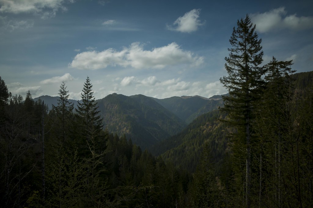 Wilson River TrailHiking · ~27 min drivePhoto: LukeDetwiler, CC BY 2.0 (via Flickr)
 Elliott Creek TrailHiking · ~28 min drivePhoto: LukeDetwiler, CC BY 2.0 (via Flickr)
- Gales Creek TrailHiking · ~21 min drive
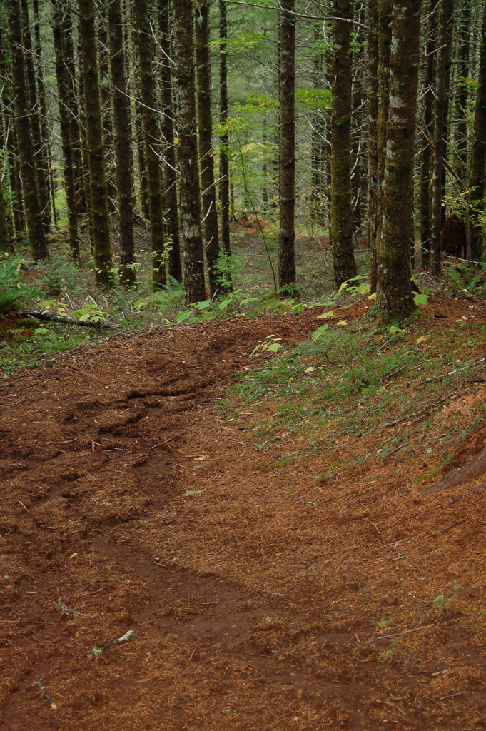 Kings Mountain Jr.Hiking · ~28 min drivePhoto: bzo, CC BY-SA 2.0 (via Flickr)
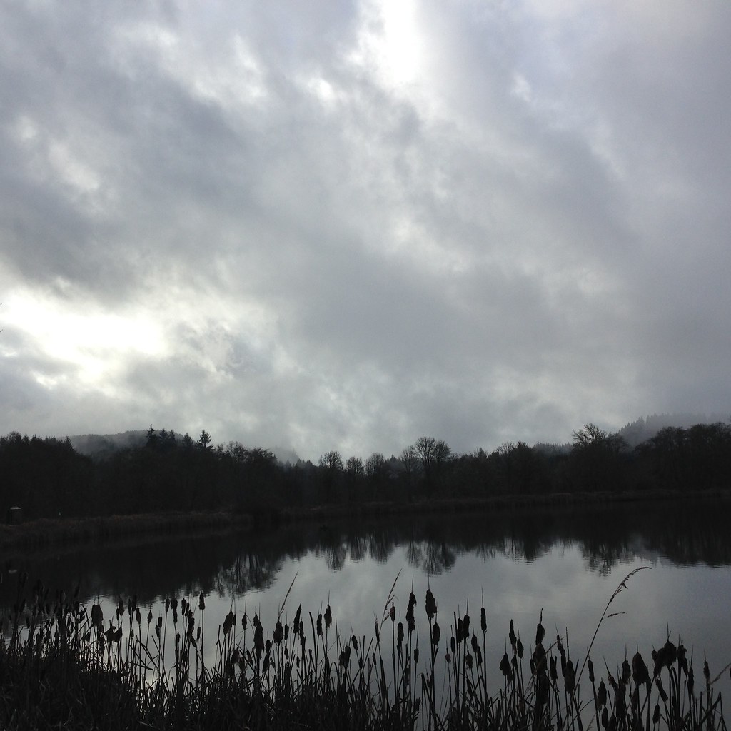 Crown Zellerbach TrailHiking · ~29 min drivePhoto: lexly87 aka Duc N. Ly, CC BY-SA 2.0 (via Flickr)
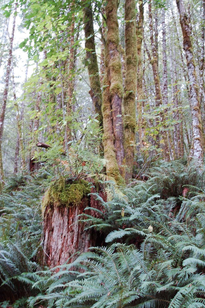 Elk Mountain-Kings Mountain LoopHiking · ~28 min drivePhoto: bzo, CC BY-SA 2.0 (via Flickr)
- Elk Creek TrailHiking · ~24 min drive
- Horseshoe TrailHiking · ~29 min drivePhoto: LukeDetwiler, CC BY 2.0 (via Flickr)
- Storey Burn TrailHiking · ~26 min drive
Also worth it near here
- Little FallsWaterfall · ~10 min drive
- Salmonberry RiverCanoeing · ~14 min drivePhoto: Cheryl Hill, CC BY-SA 2.0 (via Wikimedia Commons)
- Raven Ridge Mountain Bike TrailMountain biking · ~20 min drive
 Saddle MountainSummit · ~21 min drivePhoto: Walter Siegmund (talk), CC BY-SA 3.0 (via Wikimedia Commons)
Best time to visit Bloom Lake Trail
Best months: June–September. Best months have typical highs of 55–85 °F, lows of 30 °F or warmer (32 °F where the station doesn't record snow), at most one snowy day and no more than 12 wet days.
Jan
46° / 32°
20 wet
Feb
49° / 31°
17 wet
Mar
54° / 33°
19 wet
Apr
59° / 36°
17 wet
May
66° / 40°
13 wet
Jun
70° / 44°
9 wet
Jul
77° / 47°
4 wet
Aug
78° / 47°
4 wet
Sep
73° / 43°
8 wet
Oct
61° / 38°
15 wet
Nov
51° / 34°
19 wet
Dec
44° / 31°
20 wet
Typical high / low (°F) and days with rain or snow, 1991–2020. Measured at Vernonia #2, OR, 15.7 mi away at 625 ft. The station sits about 1,100 ft lower than this place, so expect it a little cooler here. Source: NOAA NCEI U.S. Climate Normals 1991–2020.
Map and trail data © OpenStreetMap contributors
