Cedar Camp
- Yes
- fee
- Apr–Jun, Oct
- best months
Is Cedar Camp open right now?
Closure in the area
There's a closure order in Wild Rivers Ranger District. It doesn't name Cedar Camp, so check the source for the area it covers.
Illinois Falls Trail Bridge Closure
Agency closure covering Wild Rivers Ranger District · Order 06-10-22-25-02 · USFS · Wild Rivers Ranger District
Illinois River Road Seasonal Restrictions
Agency alert covering Wild Rivers Ranger District · Order 06-10-22-26-01 · USFS · Wild Rivers Ranger District
As of · Source: USFS · Wild Rivers Ranger District. Agencies don't list every closure — check before you go.
- At 949 ft
- Wild Rivers Ranger DistrictRogue River-Siskiyou National Forests
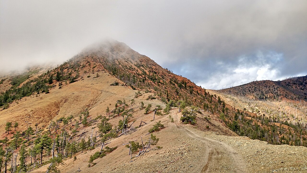
Cedar Camp is a campground in Oregon at about 949 feet. It is managed by the U.S. Forest Service.
Local outfitters
- John Carl Guide Service20 mi away
- Beachfront RV Park33 mi away
Not on Roamze yet. Their page has how to reach them.
Best time to go · Apr–Jun, Oct
Best time to visit Cedar Camp
Best months: April–June and October. Best months have typical highs of 55–85 °F, lows of 30 °F or warmer (32 °F where the station doesn't record snow), at most one snowy day and no more than 12 wet days.
Jan
49° / 32°
17 wet · 1 snow
Feb
55° / 33°
15 wet · 1 snow
Mar
60° / 34°
16 wet · 1 snow
Apr
67° / 37°
12 wet
May
76° / 42°
8 wet
Jun
83° / 46°
4 wet
Jul
94° / 52°
2 wet
Aug
94° / 49°
1 wet
Sep
87° / 44°
3 wet
Oct
72° / 39°
8 wet
Nov
55° / 36°
15 wet
Dec
47° / 33°
18 wet · 1 snow
Typical high / low (°F) and days with rain or snow, 1991–2020. Measured at Cave Junction 1 Wnw, OR, 15 mi away at 1,377 ft. Source: NOAA NCEI U.S. Climate Normals 1991–2020.
Closures we've recorded since August 2026
Stage 2 Public Use Fire Restrictions (Forest-wide)
Rogue River-Siskiyou National Forests · Order dated September 4, 2026; seen Sep 3, 2026 → lifted Oct 28, 2026 · Forest Service
Stage 3 Public Use Fire Restrictions (Forest-wide)
Rogue River-Siskiyou National Forests · Order dated July 17, 2026; seen Aug 23, 2026 → lifted Sep 3, 2026 · Forest Service
Keep exploring — more campsites worth the drive
BED
Quail Prairie Lookout
~27 min drive
SEE
Pearsoll Peak Lo
~8 min drive
BED
Echo Beach Campground
~6 min drive
BED
Spalding Pond
~7 min drive
BED
Store Gulch
~7 min drive
BED
Sixmile Campground
~8 min drive
Sixmile Campground is a campground in Oregon at about 1,094 feet. It is managed by the U.S. Forest Service.
BED
Sam Brown
~14 min drive
BED
Josephine Creek Campground
~15 min drive
Josephine Creek Campground is a campground in Oregon at about 1,266 feet, with 6 sites. It is managed by the U.S. Forest Service.
BED
Big Pine
~16 min drive
BED
Little Falls Campground
~16 min drive
Little Falls Campground is a campground in Oregon at about 1,357 feet. It is managed by the U.S. Forest Service.

Map and trail data © OpenStreetMap contributors
