Post Mountain
- 1,009 ft
- summit
- Feb–May, Oct–Nov
- best months
Is Post Mountain open right now?
Closure in the area
There's a closure order in Ouachita National Forest. It doesn't name Post Mountain, so check the source for the area it covers (4 listed).
Forest Service Road 6035 Closed for Construction
Agency closure covering Ouachita National Forest · USFS · Ouachita National Forest
Forest Service Road Closures on the Caddo-Womble Ranger District
Agency closure covering Ouachita National Forest · USFS · Ouachita National Forest
Wildfire Risk Increases in Arkansas and Oklahoma
Agency closure covering Ouachita National Forest · USFS · Ouachita National Forest
Hole in the Ground Hiking Trail Closed due to Logging Operations
Agency closure covering Ouachita National Forest · USFS · Ouachita National Forest
Sugar Creek Multi-Use Trail Partially Closed Due to Logging Operations
Agency alert covering Ouachita National Forest · USFS · Ouachita National Forest
As of · Source: USFS · Ouachita National Forest. Agencies don't list every closure — check before you go.
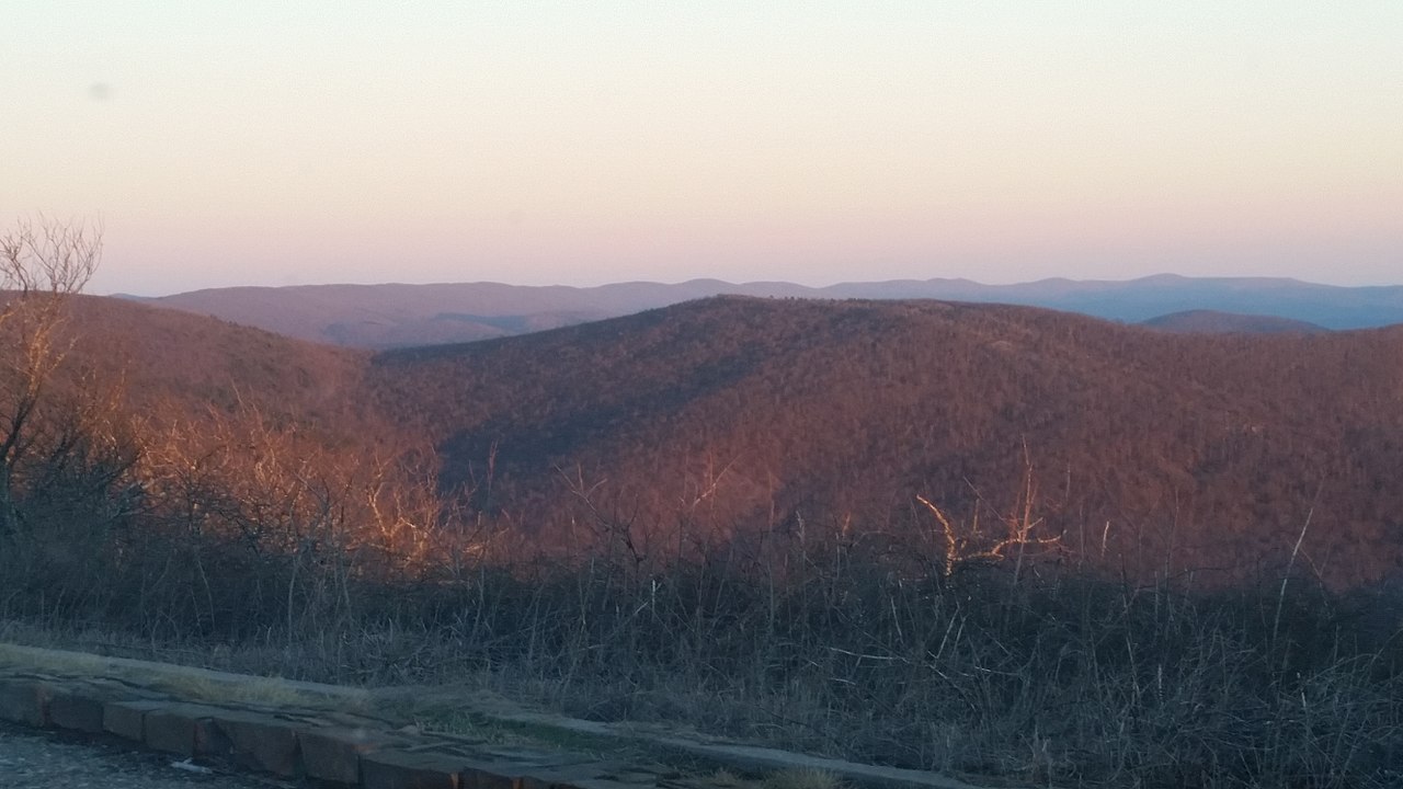
Post Mountain is a summit of 1,009 feet in the Choctaw Ranger District of the Ouachita National Forest in eastern Oklahoma, about 7 miles from the town of Hodgen. It sits in the forest's national forest and ranger district boundaries, which make it a natural anchor for a day of hiking and camping on this part of the forest. Spring and fall are the most comfortable times to visit. Typical averages from a nearby weather station in Wister show April highs around 72°F and October highs around 76°F, while July and August average highs near 93°F. Several trails start close by. Wsm Eq - 1008 is about half a mile away and Wsm Eq - 1004C is within a mile. For an overnight stay, Winding Stair campground is about 7 miles off, and Billy Creek is a little farther.
Conditions and forecast
Daily highs and lows, wind and the chance of precipitation at the summit for the next 7 days, from the Open-Meteo model.
- Summit elevation
- 1,009 ft
Elevation from USGS 3D Elevation Program terrain data (about 10 m resolution).
We don't know of a mapped trail or route to the summit of Post Mountain. Plan the approach with local maps, a guidebook or a local guide, and check conditions before you go.
Questions about Post Mountain
How tall is Post Mountain?
1,009 ft (308 m).
Is there a trail to the top of Post Mountain?
We don't know of a mapped trail or route to the summit. Plan the approach with local maps, a guidebook or a local guide.
- Wsm Eq - 1008Hiking0.4 mi
- Wsm Eq - 1004CHiking0.7 mi
- Wsm Eq - 1008BHiking1.1 mi
- Wsm Eq - 1004BHiking1.8 mi
- Wsm Eq - 1008AHiking1.9 mi
 Wsm Eq - 1004DHikingPhoto: MARELBU, CC BY 3.0 (via Wikimedia Commons)2.6 mi
 Winding StairCampingPhoto: MARELBU, CC BY 3.0 (via Wikimedia Commons)6.7 mi
 Billy CreekCampingPhoto: MARELBU, CC BY 3.0 (via Wikimedia Commons)7.1 mi
Source: Roamze catalog (indexable pages within 10 miles, PostGIS distance)
 Wilton MountainSummit · ~22 min drivePhoto: Bokta155, CC BY-SA 4.0 (via Wikimedia Commons)
 Cavanal MountainSummit · ~34 min drivePhoto: Trent Morris at English Wikipedia, Public domain (via Wikimedia Commons)
- Blue MountainSummit · ~4 min drive
- Buckeye MountainSummit · ~1h 23m drive
- Tall PeakSummit · ~1h 24m drive
Best time to visit Post Mountain
Best months: February–May and October–November. Best months have typical highs of 55–85 °F, lows of 30 °F or warmer (32 °F where the station doesn't record snow), at most one snowy day and no more than 12 wet days.
Jan
51° / 27°
Feb
56° / 32°
Mar
63° / 39°
Apr
72° / 47°
May
79° / 59°
Jun
88° / 68°
Jul
93° / 70°
Aug
93° / 69°
Sep
86° / 61°
Oct
76° / 49°
Nov
64° / 39°
Dec
53° / 31°
Typical high / low (°F) and days with rain or snow, 1991–2020. Measured at Wister 3s, OK, 10.6 mi away at 525 ft. This station doesn't record snowfall. Source: NOAA NCEI U.S. Climate Normals 1991–2020.

