Sizemore Landing Boat Launch
- Feb–May, Sep–Nov
- best months
Sizemore Landing Boat Launch is a boat launch in Oklahoma, about 3 miles from the town of Cookson. It serves as a put-in for getting onto the water in this corner of the state, and it sits close to Tenkiller Ferry Lake, which lies about a mile away. Spring and fall are the most comfortable times to visit. Typical averages from a nearby weather station in Tahlequah show October highs around 75°F with lows near 49°F, while July and August average highs in the low 90s. The station sits a few hundred feet lower than the launch, so temperatures here may run slightly cooler. Tenkiller Ferry Lake is the closest neighbor, and Greenleaf Creek, a canoeing route, is about 5 miles away.
Source: Roamze catalog (indexable pages within 10 miles, PostGIS distance)
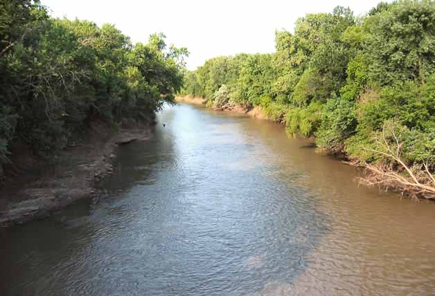 Neosho RiverCanoeing · ~31 min drivePhoto: Public domain (via Wikimedia Commons)
- Carters LandingBoat launch · ~11 min drive
- Pettit BayFloat trip · ~4 min drive
 Illinois RiverCanoeing · ~1h 11m drivePhoto: US Army Corps of Engineers, Public domain (via Wikimedia Commons)
- Stoney Point Boat RampBoat launch · ~32 min drive
- Elk Creek LandingFloat trip · ~7 min drive
- Greenleaf CreekCanoeing · ~8 min drive
- Tuff Boat RampBoat launch · ~34 min drive
- Snake CreekFloat trip · ~9 min drive
- Bayou ManardCanoeing · ~18 min drive
Best time to visit Sizemore Landing Boat Launch
Best months: February–May and September–November. Best months have typical highs of 55–85 °F, lows of 30 °F or warmer (32 °F where the station doesn't record snow), at most one snowy day and no more than 12 wet days.
Jan
51° / 28°
5 wet · 1 snow
Feb
56° / 32°
5 wet
Mar
65° / 40°
7 wet
Apr
74° / 48°
8 wet
May
80° / 57°
9 wet
Jun
88° / 65°
9 wet
Jul
93° / 69°
7 wet
Aug
92° / 68°
6 wet
Sep
85° / 61°
6 wet
Oct
75° / 49°
6 wet
Nov
63° / 39°
7 wet
Dec
53° / 31°
5 wet
Typical high / low (°F) and days with rain or snow, 1991–2020. Measured at Tahlequah, OK, 14.7 mi away at 850 ft. Source: NOAA NCEI U.S. Climate Normals 1991–2020.
Map and trail data © OpenStreetMap contributors
