Bayou Manard
- 3.3 mi
- distance
- 658 ft
- high point
Bayou Manard is a canoeing route in Oklahoma, about 1.6 miles from the town of Manard. It is a paddling destination rather than a trail, so there is no climb to plan for, and the distance to the nearest town makes it an easy stop for anyone already in the area. Spring and fall are the most comfortable times to paddle. Typical averages from a nearby weather station in Tahlequah show April highs around 74°F and October highs around 75°F, while July and August average in the low 90s. Other paddling is close by. Greenleaf Creek is about 6.4 miles away, and the Neosho River is about 7.9 miles away. Climbers can head to The Fort, about 7.4 miles off, and anglers can try the Dam Site on Fort Gibson Lake, about 8 miles away.
- Greenleaf CreekCanoeing6.4 mi
- The FortRock climbing7.4 mi
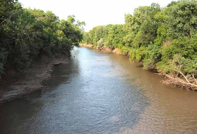 Neosho RiverCanoeingPhoto: Public domain (via Wikimedia Commons)7.9 mi
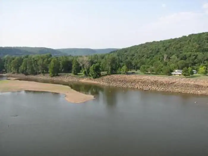 Dam Site (fort Gibson Lake)Lake fishing8 mi
Source: Roamze catalog (indexable pages within 10 miles, PostGIS distance)
- Neosho RiverCanoeing · ~13 min drivePhoto: Public domain (via Wikimedia Commons)
- Pettit BayFloat trip · ~17 min drive
- Sizemore Landing Boat LaunchBoat launch · ~18 min drive
- Greenleaf CreekCanoeing · ~11 min drive
- Elk Creek LandingFloat trip · ~21 min drive
- Carters LandingBoat launch · ~20 min drive
- Coody CreekCanoeing · ~28 min drive
- Snake CreekFloat trip · ~25 min drive
- Long Bay LandingBoat launch · ~25 min drive
- Caney CreekCanoeing · ~33 min drive
