Oklahoma · Canoeing · Fort Gibson
Neosho River
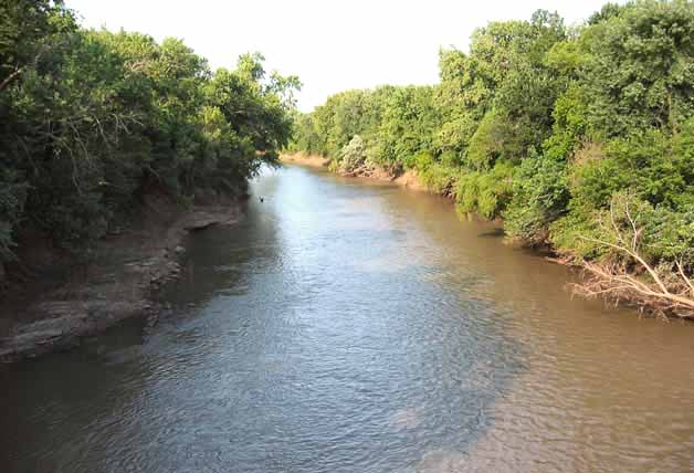 Photo: Public domain (via Wikimedia Commons)
- 0.0 mi
- distance
- 554 ft
- high point
The Neosho River is a paddling stretch near Fort Gibson, Oklahoma, set within Fort Gibson Lake, a land unit managed by the Army Corps of Engineers. The river flows year-round, and USGS models put the average flow at about 10,558 cubic feet per second. Spring and fall are the most comfortable times to paddle. Typical averages from a nearby weather station in Muskogee run to highs around 72°F in April and 74°F in October, while July and August average highs near 93°F. The Dam Site (Fort Gibson Lake) fishing area sits about 0.2 miles away. The Fort climbing area is about a mile off. Taylor Ferry and Bayou Manard, another canoeing route, lie within about 8 miles.
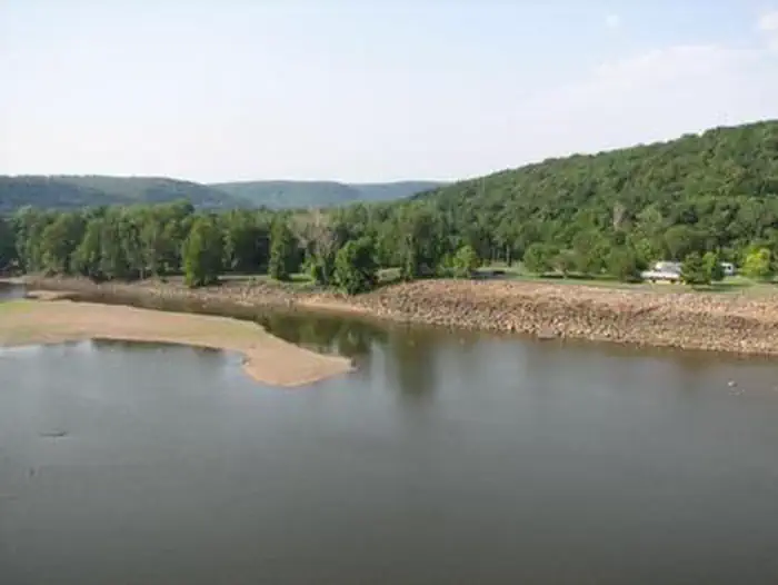 Dam Site (fort Gibson Lake)Lake fishing0.2 mi
- The FortRock climbing1.1 mi
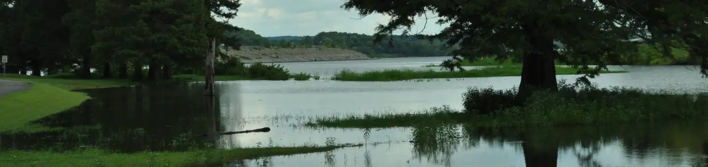 Taylor FerryLake fishing5.4 mi
- Bayou ManardCanoeing7.9 mi
- Fort Gibson LakeLake fishing9.4 mi
Source: Roamze catalog (indexable pages within 10 miles, PostGIS distance)
