Elmer Thomas
- 0.3 mi
- round trip
- 60 ft
- climb
- 1,172 ft
- high point
- Out and back
- route
- Mar–May, Oct–Nov
- best months
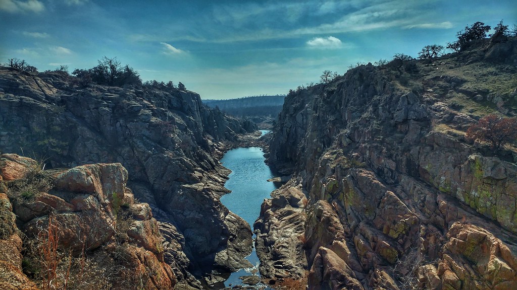
Elmer Thomas is a short, easy hike in Oklahoma, set on land managed by the Department of Defense. The route is an out-and-back of about 0.6 miles, with a total elevation gain of 60 feet, and it starts and ends at roughly 1,172 feet. The nearest town is Artillery Village, about 2 miles away. Spring and fall are the most comfortable times to go. Typical averages from a nearby weather station in Lawton show April highs around 73°F and October highs around 76°F, while July and August average about 96°F. The trip takes about half an hour, so it works well as a quick stop. East Cache Creek, a canoeing spot, is about 4 miles away. Climbers can head to El Napitan and The Crag, both about 8 miles off, or to Medicine Park, a little farther at about 9 miles.
- East Cache CreekCanoeing3.9 mi
- El NapitanRock climbing8.4 mi
- The CragRock climbing8.4 mi
- Medicine ParkRock climbing8.7 mi
- LETRA Connection TrailHiking8.8 mi
- Spicy Meatball BoulderRock climbing9.9 mi
- Talus Slope BouldersRock climbing10 mi
Source: Roamze catalog (indexable pages within 10 miles, PostGIS distance)
 LETRA TrailHiking · ~16 min drivePhoto: anyjazz65, CC BY 2.0 (via Flickr)
 Bison TrailHiking · ~29 min drivePhoto: Larry Smith, CC BY 2.0 (via Wikimedia Commons)
 Charon's Garden TrailHiking · ~31 min drivePhoto: Larry Smith from Lawton, Ok, USA, CC BY 2.0 (via Wikimedia Commons)
 Jed Johnson Tower TrailHiking · ~21 min drivePhoto: duggar11, CC BY 2.0 (via Wikimedia Commons)
 Elk Mountain TrailHiking · ~31 min drivePhoto: jonathan c. wheeler, CC BY-SA 3.0 (via Wikimedia Commons)
 Cedar Planting TrailHiking · ~21 min drivePhoto: jonathan c. wheeler, CC BY-SA 3.0 (via Wikimedia Commons)
 The Narrows TrailHiking · ~25 min drivePhoto: jonathan c. wheeler, CC BY-SA 3.0 (via Wikimedia Commons)
- Kite TrailHiking · ~26 min drivePhoto: jonathan c. wheeler, CC BY-SA 3.0 (via Wikimedia Commons)
 Burford Lake TrailHiking · ~26 min drivePhoto: jonathan c. wheeler, CC BY-SA 3.0 (via Wikimedia Commons)
 Longhorn TrailHiking · ~28 min drivePhoto: ToddMorris, CC BY-SA 2.0 (via Flickr)
Also worth it near here
- Medicine Park Primitive CampgroundCamping · ~14 min drive
 The Jazz WorkshopRock climbing · ~17 min drivePhoto: jonathan c. wheeler, CC BY-SA 3.0 (via Wikimedia Commons)
 Mount ScottSummit · ~18 min drivePhoto: Mnizlien, CC BY-SA 3.0 (via Wikimedia Commons)
- Wichita Mountains BywayScenic drive · ~20 min drive
Best time to visit Elmer Thomas
Best months: March–May and October–November. Best months have typical highs of 55–85 °F, lows of 30 °F or warmer (32 °F where the station doesn't record snow), at most one snowy day and no more than 12 wet days.
Jan
51° / 28°
4 wet
Feb
56° / 31°
5 wet
Mar
64° / 41°
6 wet
Apr
73° / 49°
6 wet
May
82° / 59°
8 wet
Jun
90° / 68°
7 wet
Jul
96° / 72°
5 wet
Aug
96° / 72°
6 wet
Sep
86° / 64°
6 wet
Oct
76° / 51°
6 wet
Nov
63° / 39°
5 wet
Dec
53° / 30°
5 wet
Typical high / low (°F) and days with rain or snow, 1991–2020. Measured at Lawton, OK, 1.3 mi away at 1,150 ft. This station doesn't record snowfall. Source: NOAA NCEI U.S. Climate Normals 1991–2020.
Map and trail data © OpenStreetMap contributors
