Fort Ancient Scenic River Access
- Apr–Jun, Aug–Oct
- best months
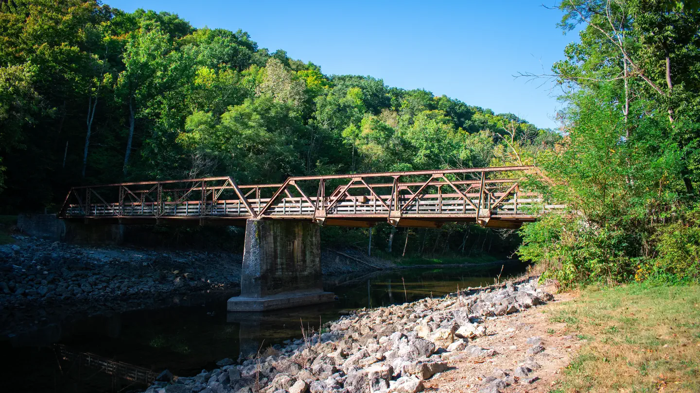
Fort Ancient Scenic River Access is a boat launch in Ohio managed by the Ohio Department of Natural Resources, about 3.6 miles from the town of Roachester. It serves as a put-in for paddlers and boaters heading onto the water in this part of southwest Ohio. For the most comfortable conditions, aim for late spring or early fall. Typical averages from a nearby weather station run highs around 74°F in May and 79°F in September, with fewer wet days in late summer and early fall than in spring. The access sits close to several short hikes. Earthworks Trail and Eagles Trail are each about 0.6 miles away and Mound Trail is about 0.7 miles off. Caesar Creek Lake, about 5.6 miles away, offers lake fishing.
- Managed by
- Ohio Department of Natural Resources
 Earthworks TrailHikingPhoto: OverTheRhine from Cincinnati, CC BY-SA 2.0 (via Wikimedia Commons)0.6 mi
- Eagles TrailHikingPhoto: OverTheRhine from Cincinnati, CC BY-SA 2.0 (via Wikimedia Commons)0.6 mi
 Mound TrailHikingPhoto: xiquinhosilva, CC BY 2.0 (via Flickr)0.7 mi
- Buckeye Trail (Caesar Creek)Hiking5.1 mi
 Caesar Creek LakeLake fishing5.6 mi
- Caesar Creek Gorge Loop TrailHiking5.6 mi
- Ceaser's TraceHiking5.9 mi
- The Cove TrailHiking6 mi
Source: Roamze catalog (indexable pages within 10 miles, PostGIS distance)
 Mill CreekCanoeing · ~37 min drivePhoto: The original uploader was Mind meal at English Wikipedia., CC BY-SA 2.0 (via Wikimedia Commons)
- Mather's Mill Scenic River AccessBoat launch · ~3 min drive
 Little Miami RiverCanoeing · ~1h 1m drivePhoto: Moofpocket, CC BY 2.5 (via Wikimedia Commons)
- Halls Creek Scenic River AcccessBoat launch · ~7 min drive
- East Fork Little Miami RiverCanoeing · ~34 min drive
- Canoe/Kayak LaunchBoat launch · ~42 min drive
- Caesar CreekCanoeing · ~38 min drive
- River Pull OutBoat launch · ~58 min drive
- North Fork White Oak CreekCanoeing · ~44 min drive
- Locust Pike Park boat rampBoat launch · ~1h 2m drive
Best time to visit Fort Ancient Scenic River Access
Best months: April–June and August–October. Best months have typical highs of 55–85 °F, lows of 30 °F or warmer (32 °F where the station doesn't record snow), at most one snowy day and no more than 12 wet days.
Jan
38° / 20°
9 wet
Feb
42° / 22°
9 wet
Mar
52° / 30°
10 wet
Apr
65° / 39°
11 wet
May
74° / 51°
12 wet
Jun
82° / 60°
10 wet
Jul
86° / 64°
9 wet
Aug
85° / 61°
7 wet
Sep
79° / 53°
7 wet
Oct
67° / 41°
8 wet
Nov
53° / 32°
9 wet
Dec
43° / 26°
9 wet
Typical high / low (°F) and days with rain or snow, 1991–2020. Measured at Franklin, OH, 15.5 mi away at 679 ft. This station doesn't record snowfall. Source: NOAA NCEI U.S. Climate Normals 1991–2020.
Map and trail data © OpenStreetMap contributors
