Ceaser's Trace
- 2.0 mi
- one way
- 241 ft
- climb
- 868 ft
- high point
- Point to point
- route
- Aug–Oct
- best months
Ceaser's Trace is a 2-mile point-to-point hike in Caesar Creek Gorge Dedicated Nature Preserve in Ohio, managed by the State Department of Natural Resources. The trail rises from about 786 feet to 868 feet, with a total elevation gain of 241 feet, and is rated easy. The route is a short outing, and the climb is gentle for the most part. The steepest stretch comes at about 1.3 miles, where the grade reaches 16 percent. The trail also has a total loss of 318 feet, so it's not a straight climb. For comfortable weather, aim for late spring or early fall. Typical averages from a nearby weather station show May highs around 75°F and September highs near 79°F, with July the warmest month at about 86°F. The Buckeye Trail (Caesar Creek) lies about 0.9 miles away, and Caesar Creek Lake is roughly 1.9 miles off. The Caesar Creek Gorge Loop Trail and the Perimeter Trail are both within about 2.6 miles.
- Buckeye Trail (Caesar Creek)Hiking0.9 mi
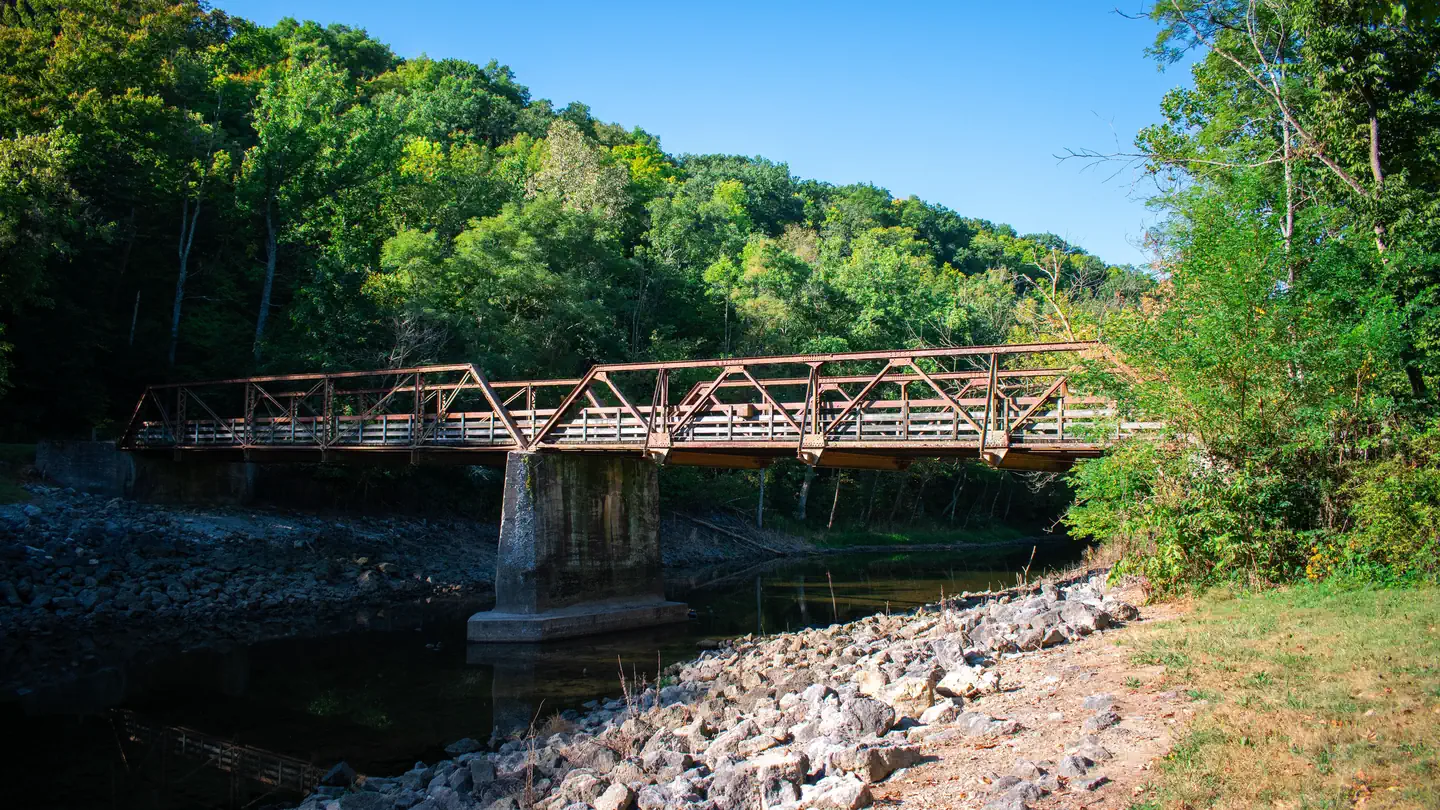 Caesar Creek LakeLake fishing1.9 mi
- Caesar Creek Gorge Loop TrailHiking2.2 mi
- Perimeter TrailHiking2.6 mi
- The Peninsula TrailHiking2.6 mi
 Horseshoe Falls TrailHikingPhoto: everyphotopro, Public Domain Mark (via Flickr)2.7 mi
- The Cove TrailHiking2.8 mi
- Fifty Springs Loop TrailHikingPhoto: everyphotopro, Public Domain Mark (via Flickr)4.2 mi
Source: Roamze catalog (indexable pages within 10 miles, PostGIS distance)
- Horseshoe Falls TrailHiking · ~5 min drivePhoto: everyphotopro, Public Domain Mark (via Flickr)
- Buckeye Trail (Caesar Creek)Hiking · ~1 min drive
- Perimeter TrailHiking · ~4 min drive
- Fifty Springs Loop TrailHiking · ~7 min drivePhoto: everyphotopro, Public Domain Mark (via Flickr)
- Campground Loop TrailHiking · ~12 min drive
 Mound TrailHiking · ~10 min drivePhoto: xiquinhosilva, CC BY 2.0 (via Flickr)
 Earthworks TrailHiking · ~11 min drivePhoto: OverTheRhine from Cincinnati, CC BY-SA 2.0 (via Wikimedia Commons)
- Eagles TrailHiking · ~11 min drivePhoto: OverTheRhine from Cincinnati, CC BY-SA 2.0 (via Wikimedia Commons)
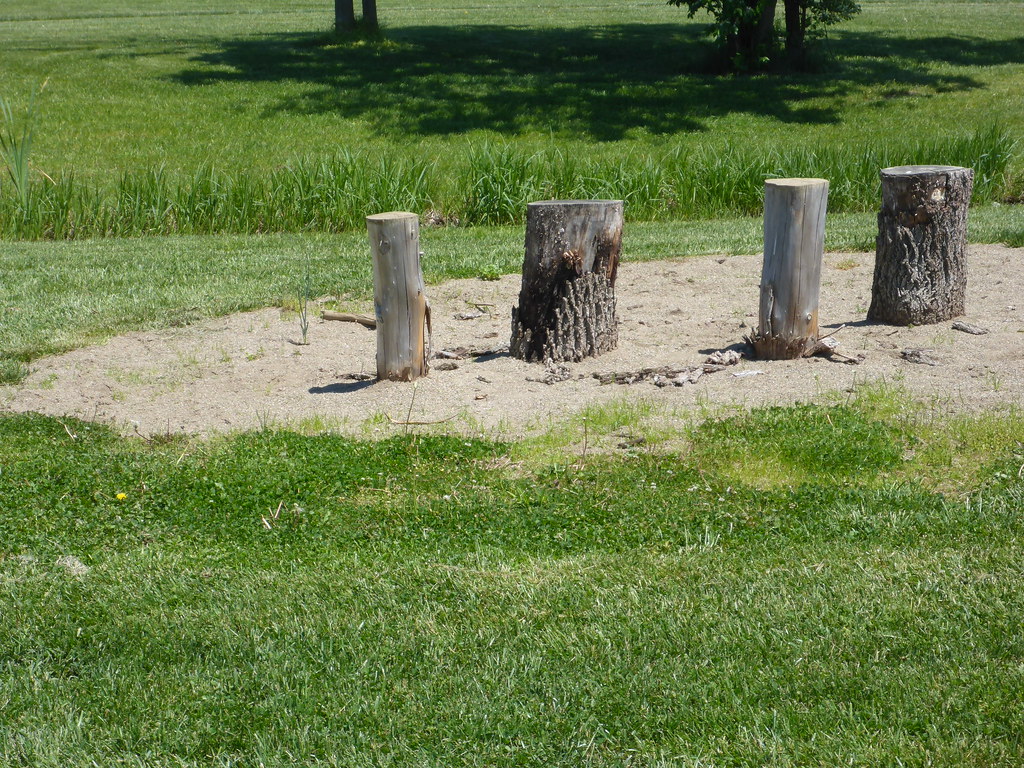 North TrailHiking · ~12 min drivePhoto: mccannarchy, Public Domain Mark (via Flickr)
- South TrailHiking · ~12 min drivePhoto: mccannarchy, Public Domain Mark (via Flickr)
Best time to visit Ceaser's Trace
Best months: August–October. Best months have typical highs of 55–85 °F, lows of 30 °F or warmer (32 °F where the station doesn't record snow), at most one snowy day and no more than 12 wet days.
Jan
39° / 22°
12 wet
Feb
43° / 25°
11 wet
Mar
53° / 33°
12 wet
Apr
65° / 43°
13 wet
May
75° / 53°
15 wet
Jun
83° / 62°
13 wet
Jul
86° / 65°
11 wet
Aug
85° / 63°
10 wet
Sep
79° / 56°
11 wet
Oct
67° / 45°
11 wet
Nov
54° / 35°
10 wet
Dec
43° / 27°
12 wet
Typical high / low (°F) and days with rain or snow, 1991–2020. Measured at Dayton Wright Bros Ap, OH, 9.8 mi away at 962 ft. This station doesn't record snowfall. Source: NOAA NCEI U.S. Climate Normals 1991–2020.
Map and trail data © OpenStreetMap contributors
