Symmes Creek North
- 4.1 mi
- round trip
- 714 ft
- climb
- 896 ft
- high point
- Out and back
- route
- Aug–Oct
- best months
Is Symmes Creek North open right now?
Closure in the area
There's a closure order in Wayne National Forest. It doesn't name Symmes Creek North, so check the source for the area it covers.
Lake Vesuvius Area Closure Public Health and Safety
Agency closure covering Wayne National Forest · USFS · Wayne National Forest
Timbre Ridge Lake Closure
Agency alert covering Wayne National Forest · Order 09-14-25-01 · USFS · Wayne National Forest
As of · Source: USFS · Wayne National Forest. Agencies don't list every closure — check before you go.
Symmes Creek North is a 4.1-mile out-and-back hike in the Ironton Ranger District of Wayne National Forest in southern Ohio. The trail is managed by the Forest Service and is rated moderate, with a total climb of 714 feet from start to finish, and it ends where it began, so the round-trip gain is 714 feet and the loss is the same. The route rises from about 637 feet to a high point of 896 feet, and the steepest stretch, a 17% grade, comes within the first tenth of a mile. The trail is on natural surface, and it is not accessible. Bikes and horses are not allowed. Late spring and early fall are the most comfortable times to go. Typical averages from a nearby weather station in Waterloo run from highs of about 75°F in May to 79°F in September. That station sits roughly 270 feet lower than the trail's high point, so expect temperatures on the higher ground to run a little cooler. The trailhead is Symmes Creek Trailhead - East, and the hike is open year-round. Plan about 1.5 hours for the round trip. Several other hikes sit close by. Symmes Creek Connector is about half a mile away, Symmes Creek South is about a mile off, and School House Loop and Ridge Loop are each within about 1.6 miles. For paddling, Symmes Creek is about 7 miles away.
Best time to go · Aug–Oct
Best time to visit Symmes Creek North
Best months: August–October. Best months have typical highs of 55–85 °F, lows of 30 °F or warmer (32 °F where the station doesn't record snow), at most one snowy day and no more than 12 wet days.
Jan
41° / 20°
13 wet
Feb
45° / 22°
12 wet
Mar
54° / 29°
13 wet
Apr
67° / 38°
13 wet
May
75° / 49°
15 wet
Jun
83° / 57°
13 wet
Jul
86° / 62°
12 wet
Aug
85° / 60°
11 wet
Sep
79° / 52°
10 wet
Oct
68° / 40°
10 wet
Nov
55° / 30°
11 wet
Dec
45° / 25°
13 wet
Typical high / low (°F) and days with rain or snow, 1991–2020. Measured at Waterloo, OH, 8.1 mi away at 625 ft. This station doesn't record snowfall. Source: NOAA NCEI U.S. Climate Normals 1991–2020.
Keep exploring — more trails worth the drive
 Photo: Wayne National Forest, Public Domain Mark (via Flickr)
School House Loop
~3 min drive
7.74-mile loop in Ohio with 855 ft elevation gain.
Photo: Wayne National Forest, Public Domain Mark (via Flickr)Ridge Loop
~3 min drive
1.56-mile loop trail in Ohio with 235 ft elevation gain
 Photo: Wayne National Forest, Public Domain Mark (via Flickr)
Lyra Trail
~24 min drive
7.78-mile out-and-back trail in Ohio with 1,882 ft elevation gain/loss.
Photo: Wayne National Forest, Public Domain Mark (via Flickr)Telegraph Trail
~24 min drive
12.48-mile out-and-back trail in Ohio with 2,007 ft elevation gain/loss
Photo: Wayne National Forest, Public Domain Mark (via Flickr)Coal Branch Loop
~3 min drive
2.09-mile loop trail in Ohio with 319 ft of elevation gain.
 Photo: Wayne National Forest, Public Domain Mark (via Flickr)
Power Line Trail
~37 min drive
7.9-mile out-and-back hike in Ohio with 1,218 ft elevation gain
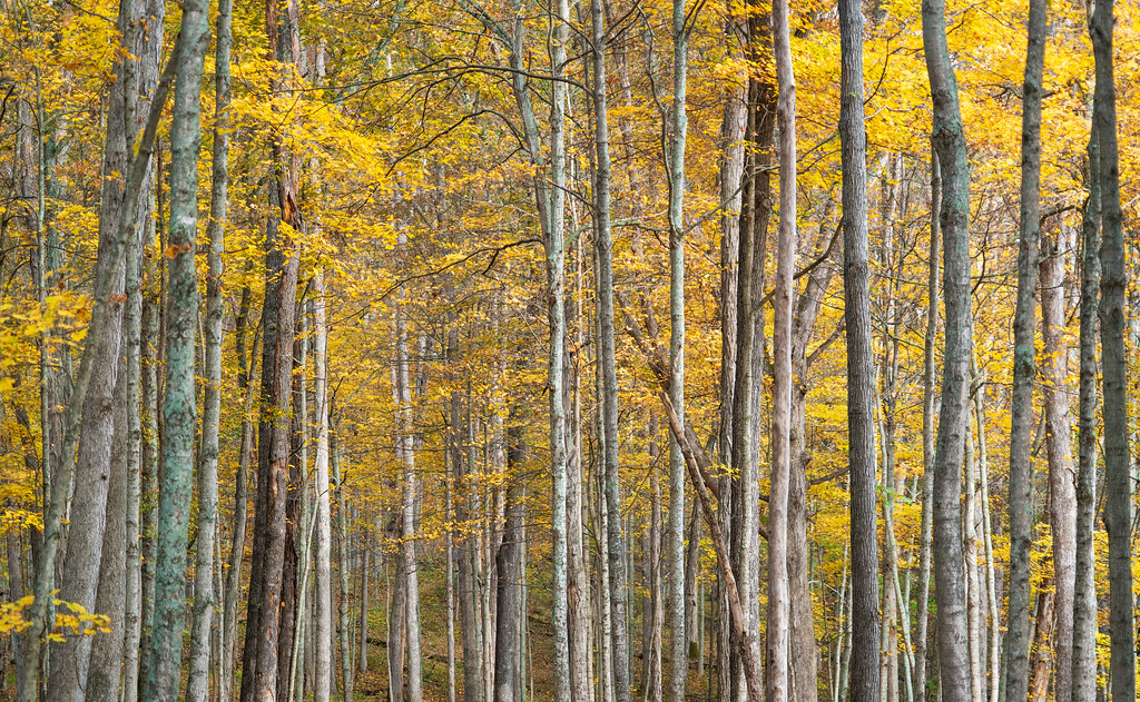 Photo: Wayne National Forest, Public Domain Mark (via Flickr)
Vesuvius Main Loop
~29 min drive
59.28-mile loop trail in Ohio with 2,652 ft elevation gain.
Photo: Wayne National Forest, Public Domain Mark (via Flickr)Hungry Hollow Connector
~29 min drive
0.41-mile out-and-back trail in Ohio with 182 ft gain.
Photo: Wayne National Forest, Public Domain Mark (via Flickr)Wolcot Trail
~24 min drive
6.22-mile out-and-back trail in Ohio with 1,257 ft elevation gain/loss
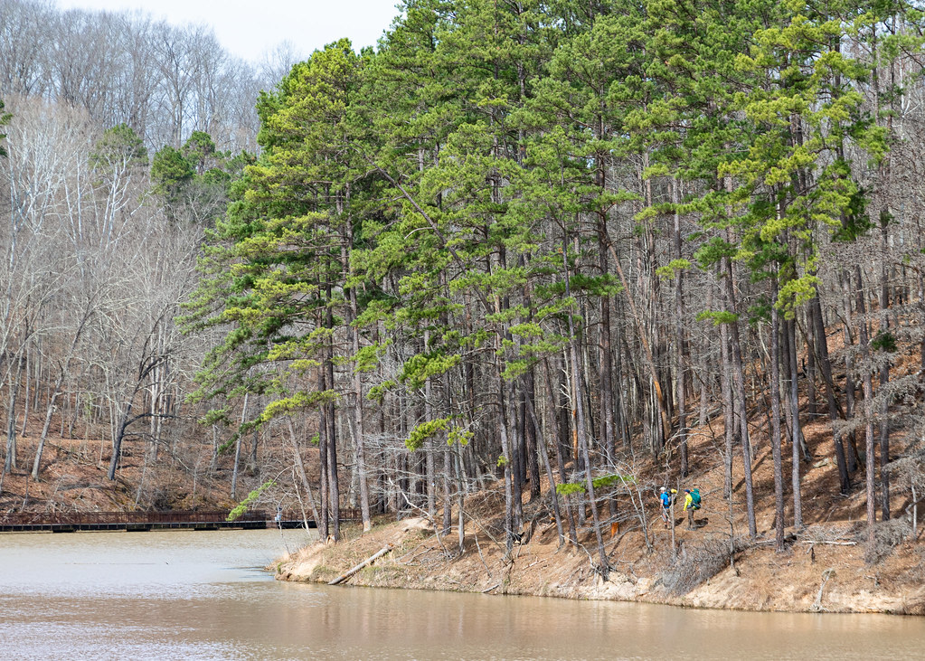 Photo: Wayne National Forest, Public Domain Mark (via Flickr)
Lake Shore
~30 min drive
7.40-mile out-and-back trail in Ohio with 1,915 ft elevation gain.

