Ora Anderson Trail
- 1.0 mi
- loop
- 195 ft
- climb
- 799 ft
- high point
- Loop
- route
- Jun–Oct
- best months
Clear at last check
Weather is good · OpenWeather · checked 20 h ago
The Ora Anderson Trail is a short loop hike in southern Ohio, about a mile long and less than half a mile from the town of Elliottville. The route starts and ends at nearly the same elevation, with a high point of about 800 feet and a low of about 727 feet, and it rises and falls by roughly 200 feet in total. The climb is easy, and the trail is rated as an easy walk. September is the most comfortable time to go, with typical highs around 76°F and lows near 54°F, based on averages from a nearby weather station in Athens. Late spring is similar, with May highs averaging about 72°F. The trip takes about half an hour, so it works well as a quick stop. The Hocking River is about 0.7 miles away and offers river fishing. Witches Back and Witches Front, climbing areas about 1.6 miles off, and the Camp Rotan Trail, roughly 1.7 miles away, round out the options in the area.
- Hocking RiverRiver fishing0.7 mi
- Witches BackRock climbing1.6 mi
- Witches FrontRock climbing1.6 mi
- Witches Hill PathHiking1.6 mi
- Camp Rotan TrailHiking1.7 mi
- Athens TrailMountain biking3 mi
- COAD BouldersRock climbing3.2 mi
- Margaret CreekCanoeing3.4 mi
Source: Roamze catalog (indexable pages within 10 miles, PostGIS distance)
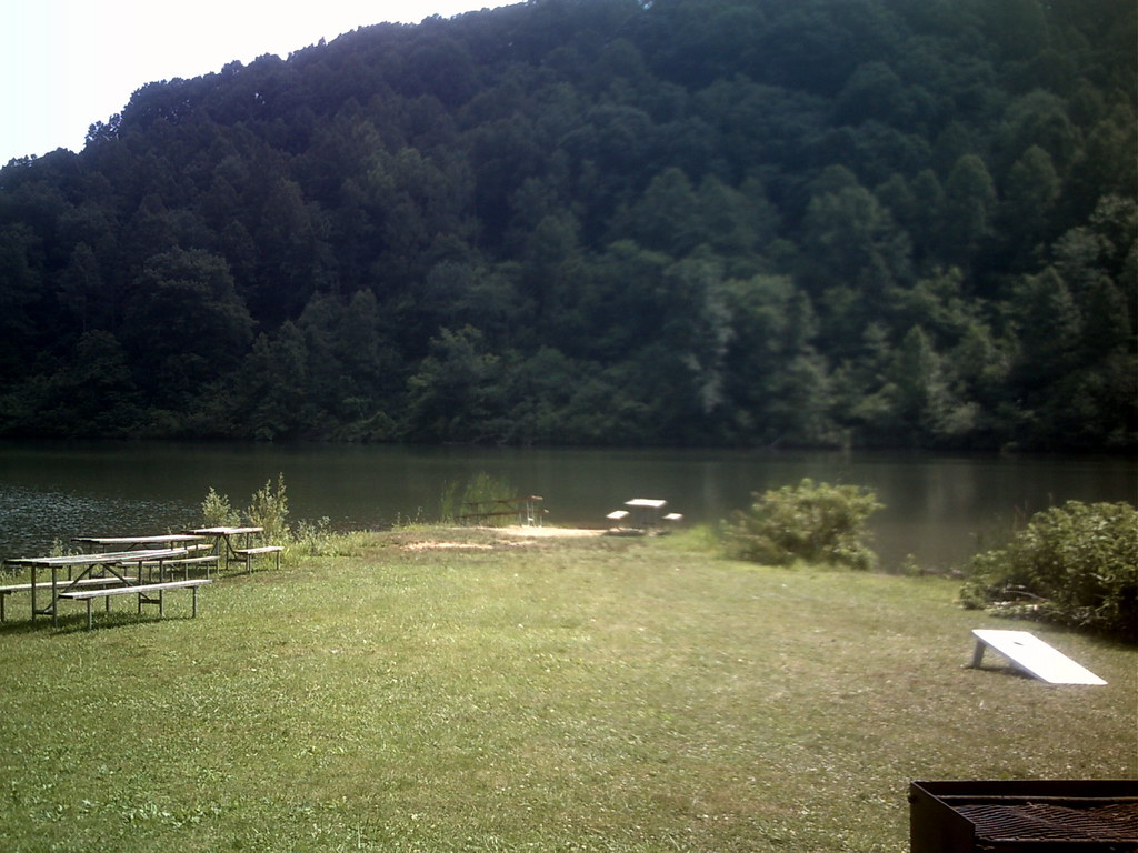
 Athens TrailHiking · ~7 min drivePhoto: MisterZero, CC BY-SA 3.0 (via Wikimedia Commons)
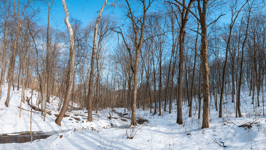
 Hollowpoint TrailHiking · ~9 min drivePhoto: RJ Bailey, CC BY 2.0 (via Flickr)
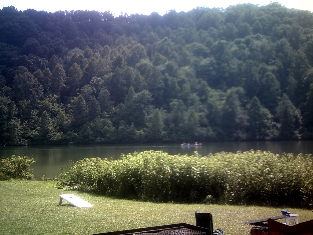
 Tipple TopHiking · ~12 min drivePhoto: Wayne National Forest, Public Domain Mark (via Flickr)
- Vista Point TrailHiking · ~8 min drivePhoto: RJ Bailey, CC BY 2.0 (via Flickr)
 Thunderbunny TrailHiking · ~9 min drivePhoto: RJ Bailey, CC BY 2.0 (via Flickr)
 Pig IronHiking · ~12 min drivePhoto: Wayne National Forest, Public Domain Mark (via Flickr)
- Blackhaw Accessible TrailHiking · ~8 min drivePhoto: RJ Bailey, CC BY 2.0 (via Flickr)
- Sundown TrailHiking · ~9 min drivePhoto: MisterZero, CC BY-SA 3.0 (via Wikimedia Commons)
- Wild TurkeyHiking · ~13 min drivePhoto: Wayne National Forest, Public Domain Mark (via Flickr)
- Broken Rock TrailHiking · ~9 min drivePhoto: RJ Bailey, CC BY 2.0 (via Flickr)
Best time to visit Ora Anderson Trail
Best months: June–October. Best months have typical highs of 55–85 °F, lows of 30 °F or warmer (32 °F where the station doesn't record snow), at most one snowy day and no more than 12 wet days.
Jan
38° / 22°
13 wet
Feb
42° / 23°
11 wet
Mar
52° / 30°
12 wet
Apr
65° / 40°
13 wet
May
72° / 50°
13 wet
Jun
80° / 59°
12 wet
Jul
82° / 63°
11 wet
Aug
81° / 61°
10 wet
Sep
76° / 54°
9 wet
Oct
65° / 42°
10 wet
Nov
53° / 32°
11 wet
Dec
43° / 27°
13 wet
Typical high / low (°F) and days with rain or snow, 1991–2020. Measured at Athens Ou, OH, 1 mi away at 684 ft. This station doesn't record snowfall. Source: NOAA NCEI U.S. Climate Normals 1991–2020.
Map and trail data © OpenStreetMap contributors
