Keehner Inner Loop
- 0.5 mi
- loop
- 68 ft
- climb
- 854 ft
- high point
- Loop
- route
- Sep–Nov
- best months
Keehner Inner Loop is a short, easy loop in Keehner Park in Ohio, a city-managed park. The route is 0.54 miles long, and it rises from about 772 feet to 854 feet, with a total gain of 68 feet. The climb is back-loaded, and the steepest stretch comes at about 0.45 miles, with a 10% grade. Spring and fall are the most comfortable times to go. Typical averages from a nearby weather station show October highs around 68°F with lows near 42°F, and May highs around 75°F. That station sits about 220 feet lower than the loop, so temperatures on the trail run a little cooler. Bikes are allowed on this route, but horses are not. The loop makes a quick outing, and the estimated time is about half an hour. It sits close to the Keehner Walking Trail and the Mountain Bike Trail, both about 0.1 mile away. Farther out, Mill Creek offers canoeing about 6 miles away, and Winton Woods has river fishing about 9 miles away.
Local outfitters
- Whitewater Canal Trail Inc.40 mi away
Not on Roamze yet. Their page has how to reach them.
Best time to go · Sep–Nov
Best time to visit Keehner Inner Loop
Best months: September–November. Best months have typical highs of 55–85 °F, lows of 30 °F or warmer (32 °F where the station doesn't record snow), at most one snowy day and no more than 12 wet days.
Jan
40° / 22°
11 wet
Feb
44° / 23°
10 wet
Mar
54° / 32°
12 wet
Apr
67° / 42°
13 wet
May
75° / 52°
15 wet
Jun
83° / 61°
13 wet
Jul
87° / 64°
12 wet
Aug
86° / 62°
11 wet
Sep
80° / 54°
11 wet
Oct
68° / 42°
11 wet
Nov
55° / 32°
10 wet
Dec
44° / 26°
12 wet
Typical high / low (°F) and days with rain or snow, 1991–2020. Measured at Hamilton Butler Co Rgnl Ap, OH, 8 mi away at 634 ft. This station doesn't record snowfall. Source: NOAA NCEI U.S. Climate Normals 1991–2020.
Keep exploring — more trails worth the drive
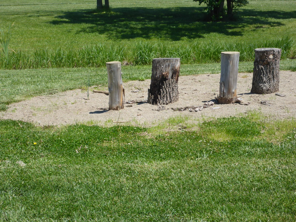 Photo: mccannarchy, Public Domain Mark (via Flickr)
Yellow Trail
~20 min drive
A short 0.60-mile point-to-point trail in Ohio.
HIKE
Buckeye Trail (Loveland)
~21 min drive
13.03-mile point-to-point trail in Ohio with 911 ft gain.
HIKE
Explorer's Trail
~26 min drive
11.92-mile point-to-point Ohio trail for moderate to experienced hikers.
Photo: mccannarchy, Public Domain Mark (via Flickr)South Trail
~20 min drive
South Trail is a 0.89-mile loop in Ohio with 76 feet of elevation gain.
HIKE
Adt - Ohio D - Seg 9
~27 min drive
Moderate 9.72-mile point-to-point Ohio trail segment.
Photo: mccannarchy, Public Domain Mark (via Flickr)North Trail
~20 min drive
0.99-mile loop trail in Ohio with 63 ft of elevation gain.
 Photo: Jon and Claudette Hoffman, CC BY-SA 3.0 (via Wikimedia Commons)
Wildflower Trail
~27 min drive
1.03-mile loop trail in Ohio with 252 ft elevation gain.
 Photo: OverTheRhine from Cincinnati, CC BY-SA 2.0 (via Wikimedia Commons)
Eagles Trail
~27 min drive
0.46-mile point-to-point trail in Ohio with 320 ft gain.
Photo: Jon and Claudette Hoffman, CC BY-SA 3.0 (via Wikimedia Commons)Far Ridge Trail
~27 min drive
1.22-mile loop trail in Ohio with 337 ft of elevation gain.
Photo: OverTheRhine from Cincinnati, CC BY-SA 2.0 (via Wikimedia Commons)Earthworks Trail
~27 min drive
0.86-mile loop trail in Ohio with 256 ft of elevation gain.

Map and trail data © OpenStreetMap contributors
