Hiking Path
- 0.6 mi
- round trip
- 97 ft
- climb
- 1,202 ft
- high point
- Out and back
- route
- Jun–Oct
- best months
Hiking Path is a short, easy out-and-back hike in Ohio, about 2 miles from the town of Hartville. The route is roughly 1.2 miles long, with a total climb of about 97 feet and a high point of about 1,202 feet. The steepest stretch comes at about 0.35 miles in, with a grade of about 6 percent. Late spring and early fall are the most comfortable times to go. Typical averages from a nearby weather station show May highs around 72°F and September highs around 76°F, with fewer wet days in September than in spring. For a longer outing, the Buckeye Trail (Mogadore) lies about 2 miles away.
Best time to go · Jun–Oct
Best time to visit Hiking Path
Best months: June–October. Best months have typical highs of 55–85 °F, lows of 30 °F or warmer (32 °F where the station doesn't record snow), at most one snowy day and no more than 12 wet days.
Jan
36° / 20°
17 wet
Feb
39° / 22°
15 wet
Mar
48° / 29°
15 wet
Apr
62° / 40°
14 wet
May
72° / 50°
14 wet
Jun
80° / 59°
12 wet
Jul
84° / 63°
12 wet
Aug
83° / 62°
10 wet
Sep
76° / 55°
10 wet
Oct
63° / 44°
12 wet
Nov
51° / 34°
13 wet
Dec
40° / 26°
16 wet
Typical high / low (°F) and days with rain or snow, 1991–2020. Measured at Akron Canton Rgnl Ap, OH, 8.3 mi away at 1,208 ft. This station doesn't record snowfall. Source: NOAA NCEI U.S. Climate Normals 1991–2020.
Keep exploring — more trails worth the drive
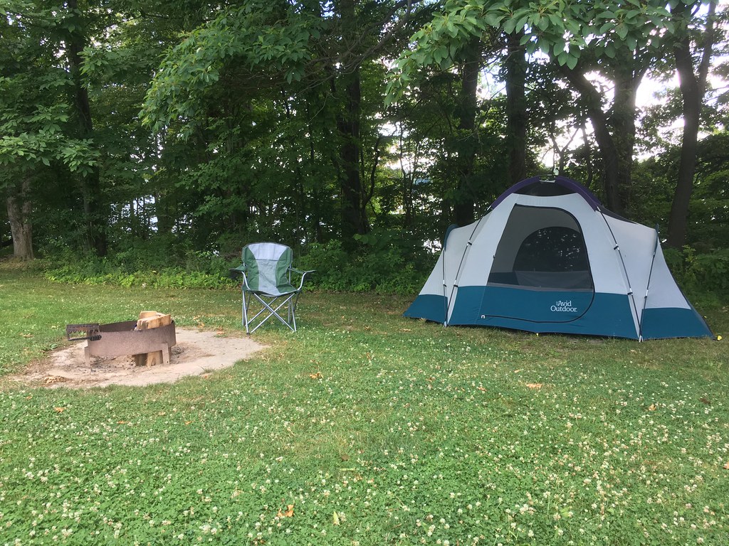 Photo: kjarrett, CC BY 2.0 (via Flickr)
Club Moss Trail
~24 min drive
0.77-mile point-to-point trail in Ohio with 249 ft gain.
 Photo: david_e_waldron, Public Domain Dedication (CC0) (via Flickr)
Bike & Hike Trail
~40 min drive
21.3-mile out-and-back trail in Ohio with 283 ft elevation gain.
 Photo: Rob Norris, CC0 (via Wikimedia Commons)
Buckeye Trail (Medina)
~46 min drive
55.83-mile point-to-point trail in Ohio with 1,662 ft elevation gain.
HIKE
Buckeye Trail (Burton)
~36 min drive
60.07-mile point-to-point trail in Ohio with 2,548 ft gain.
Photo: kjarrett, CC BY 2.0 (via Flickr)Jay Lake Trail
~25 min drive
0.43-mile point-to-point trail at Jay Lake Trail in Ohio with 67 ft gain.
HIKE
Headwaters Trail
~37 min drive
2.90-mile out-and-back trail in Ohio with 343 ft gain.
HIKE
Buckeye Trail (Mogadore)
~4 min drive
74.35-mile point-to-point trail in Ohio with 1,613 ft gain.
Photo: kjarrett, CC BY 2.0 (via Flickr)Deer Run Trail
~25 min drive
0.70-mile point-to-point trail in Ohio with 218 ft gain
HIKE
Buckeye Trail (Akron)
~26 min drive
57.35-mile point-to-point trail in Ohio with 1,532 ft gain.
 Photo: RuggyBearLA, CC BY-SA 2.0 (via Flickr)
Nuthatch Trail
~29 min drive
A gentle 2.13-mile point-to-point woodland trail in Ohio.

Map and trail data © OpenStreetMap contributors
