Jay Lake Trail
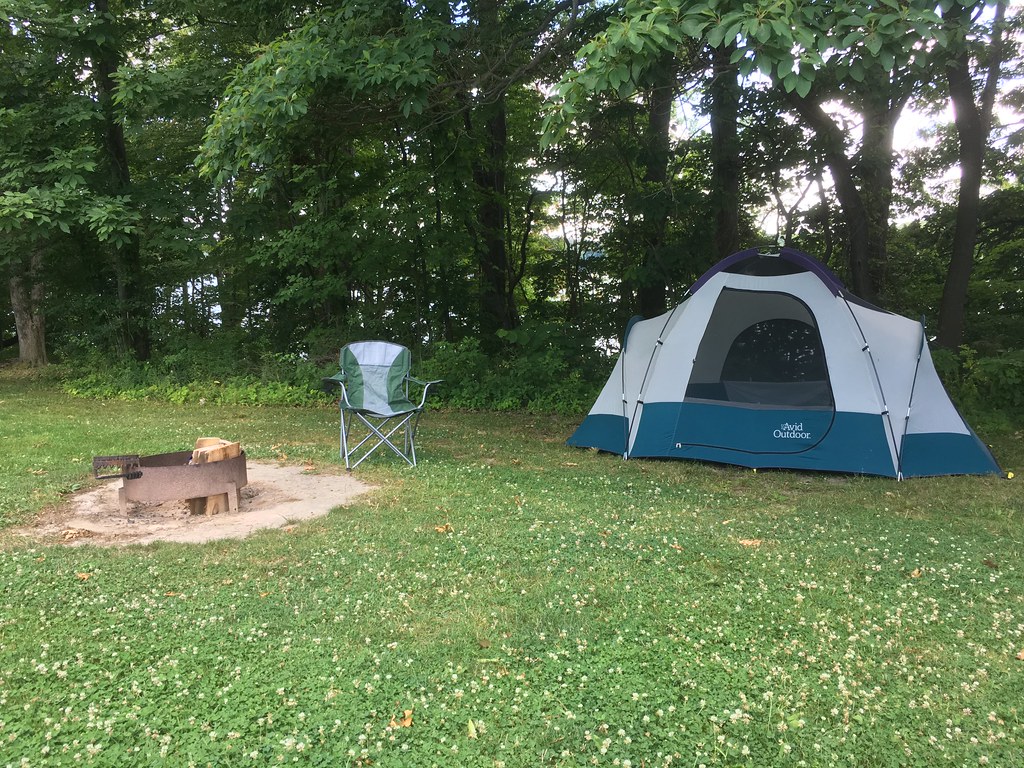 Photo: kjarrett, CC BY 2.0 (via Flickr)
- 0.4 mi
- one way
- 12 ft
- climb
- 1,017 ft
- high point
- Point to point
- route
- Jun–Oct
- best months
Jay Lake Trail is a short, easy hike in Ohio, managed by the Army Corps of Engineers and set about 1.7 miles from the community of Bloody Corners. The trail is a point-to-point route of about 0.43 miles, with a low point of 987 feet and a high of 1017 feet. The climb is gentle, with a total gain of 12 feet and a steepest grade of about 4% at roughly 0.23 miles in. The most comfortable months for a visit are typically late spring and early fall. Typical averages from a nearby weather station in Ravenna show May highs around 71°F and September highs around 74°F, with July the warmest month at about 85°F. Dogs are allowed on a leash, and bikes and horses are not. The trip takes about half an hour, and the trail sits close to several other short walks, including Deer Run Trail about 0.1 mile away and Club Moss Trail and Black Cherry Trail each about 0.4 mile off. West Branch State Park, about a mile away, offers lake fishing.
Best time to go · Jun–Oct
Best time to visit Jay Lake Trail
Best months: June–October. Best months have typical highs of 55–85 °F, lows of 30 °F or warmer (32 °F where the station doesn't record snow), at most one snowy day and no more than 12 wet days.
Jan
34° / 17°
15 wet
Feb
37° / 17°
12 wet
Mar
46° / 25°
13 wet
Apr
59° / 36°
13 wet
May
71° / 47°
14 wet
Jun
81° / 56°
12 wet
Jul
85° / 60°
11 wet
Aug
82° / 58°
10 wet
Sep
74° / 51°
10 wet
Oct
62° / 40°
12 wet
Nov
49° / 31°
12 wet
Dec
39° / 23°
14 wet
Typical high / low (°F) and days with rain or snow, 1991–2020. Measured at Ravenna 2 S, OH, 8.5 mi away at 1,107 ft. This station doesn't record snowfall. Source: NOAA NCEI U.S. Climate Normals 1991–2020.
Keep exploring — more trails worth the drive
Photo: kjarrett, CC BY 2.0 (via Flickr)Club Moss Trail
Next door
0.77-mile point-to-point trail in Ohio with 249 ft gain.
 Photo: david_e_waldron, Public Domain Dedication (CC0) (via Flickr)
Bike & Hike Trail
~41 min drive
21.3-mile out-and-back trail in Ohio with 283 ft elevation gain.
HIKE
Buckeye Trail (Burton)
~16 min drive
60.07-mile point-to-point trail in Ohio with 2,548 ft gain.
HIKE
Buckeye Trail (Mogadore)
~28 min drive
74.35-mile point-to-point trail in Ohio with 1,613 ft gain.
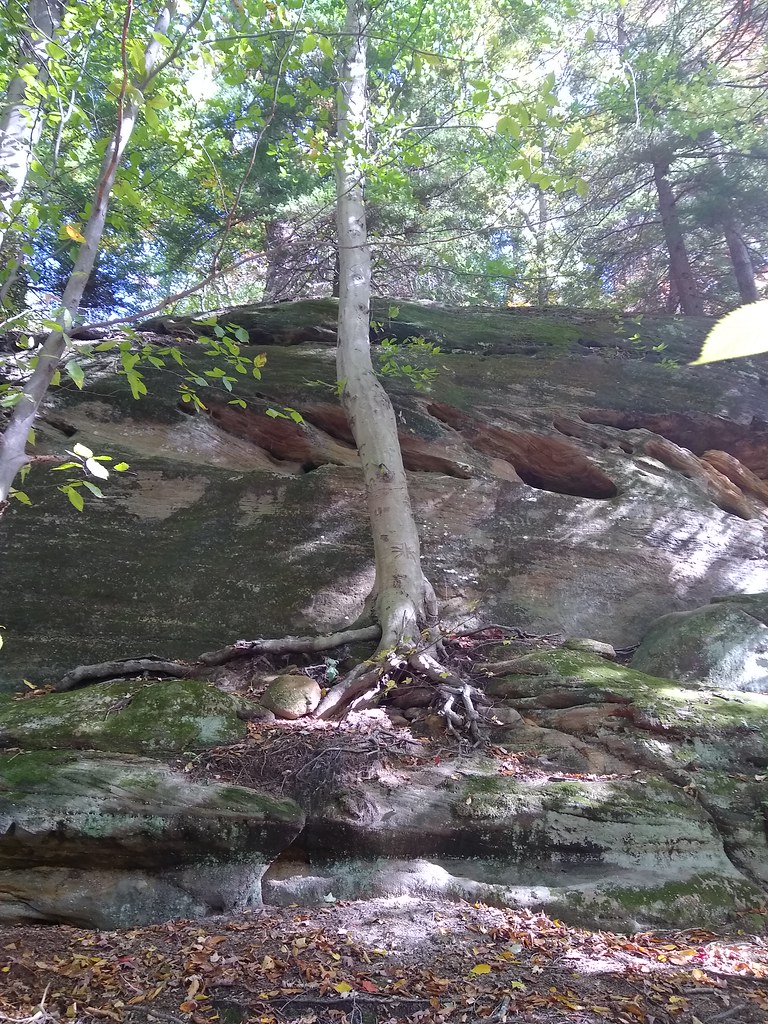 Photo: reynolds.james.e, CC BY 2.0 (via Flickr)
Kendall Lake Connectors
~38 min drive
1.64-mile out-and-back trail at Kendall Lake in Ohio with 46 feet of elevation gain.
HIKE
Headwaters Trail
~16 min drive
2.90-mile out-and-back trail in Ohio with 343 ft gain.
 Photo: daveynin, CC BY 2.0 (via Flickr)
Salt Run Trail
~39 min drive
3.29-mile point-to-point trail in Ohio with 709 ft elevation gain.
 Photo: Jack W. Pearce, CC BY-SA 2.0 (via Flickr)
Cascade Ravine Trail
~39 min drive
Short out-and-back ravine hike with cascading water features.
 Photo: RuggyBearLA, CC BY-SA 2.0 (via Flickr)
Nuthatch Trail
~40 min drive
A gentle 2.13-mile point-to-point woodland trail in Ohio.
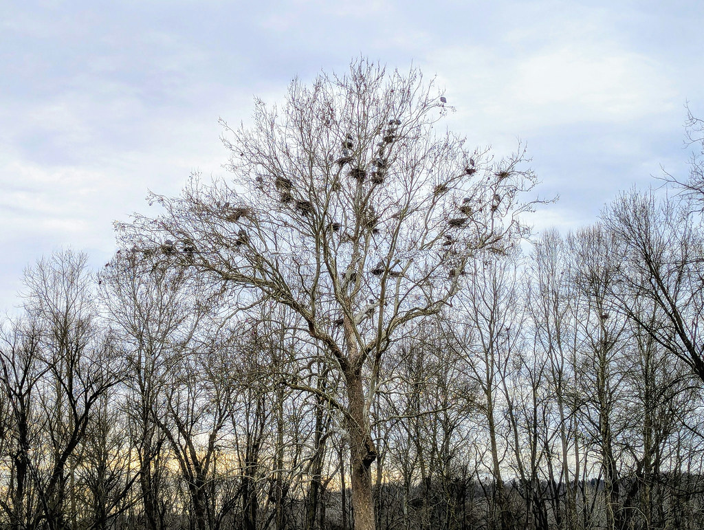 Photo: david_e_waldron, Public Domain Dedication (CC0) (via Flickr)
Adam Run Trail
~40 min drive
3.02-mile out-and-back trail in Ohio with 179 ft elevation gain.

Map and trail data © OpenStreetMap contributors
