Gorges Curves
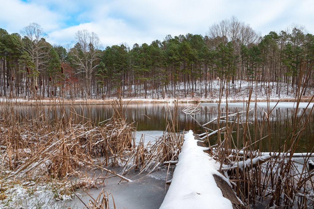 Photo: Wayne National Forest, Public Domain Mark (via Flickr)
- 5.6 mi
- round trip
- 1,012 ft
- climb
- 946 ft
- high point
- Out and back
- route
Is Gorges Curves open right now?
Closure in the area
There's a closure order in Athens Ranger District. It doesn't name Gorges Curves, so check the source for the area it covers (2 listed).
Greendale Connector, Greendale, Kacklemacker Loop, Bobcat trails Closure
Agency closure covering Athens Ranger District · Order 09-14-01-26-02 · USFS · Athens Ranger District
Lake Vesuvius Area Closure Public Health and Safety
Agency closure covering Wayne National Forest · USFS · Wayne National Forest
Timbre Ridge Lake Closure
Agency alert covering Wayne National Forest · Order 09-14-25-01 · USFS · Wayne National Forest
As of · Source: USFS · Athens Ranger District. Agencies don't list every closure — check before you go.
Gorges Curves is a 5.6-mile out-and-back hike in the Athens Ranger District of Wayne National Forest in southeastern Ohio, managed by the Forest Service. The trail is rated moderate, with a total elevation gain of 261 feet, and the steepest stretch comes at about 2.6 miles in, where the grade reaches 16%. The trail is natural-surface and allows bikes, but horses are not permitted. It is not an accessible trail. For comfortable weather, aim for late spring or early fall. Typical averages from a nearby weather station in Athens run to highs around 72°F in May and 76°F in September, with September also seeing the fewest wet days of the year. Several other trails sit close by, including The Underground at 0.2 miles and Clay Bake and Bullfrog Loop at 0.3 miles. For fishing, the Athens Ranger District - Athens Area is about 2.5 miles away.
Keep exploring — more trails worth the drive
Photo: Wayne National Forest, Public Domain Mark (via Flickr)The Underground
Next door
8.51-mile out-and-back trail in Ohio with 892 ft elevation gain.
 Photo: Wayne National Forest, Public Domain Mark (via Flickr)
Clay Bake
Next door
2.90-mile out-and-back trail in Ohio with 404 ft elevation gain.
Photo: Wayne National Forest, Public Domain Mark (via Flickr)Salameander
Next door
4.83-mile out-and-back trail in Ohio with 457 ft elevation gain.
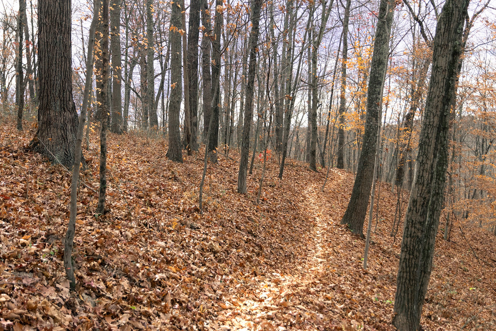 Photo: Wayne National Forest, Public Domain Mark (via Flickr)
Bloodroot
~2 min drive
17.12-mile out-and-back trail in Ohio with 1,188 ft elevation gain.
Photo: Wayne National Forest, Public Domain Mark (via Flickr)Bullfrog Loop
Next door
1.27-mile loop in Ohio with 288 ft elevation gain/loss.
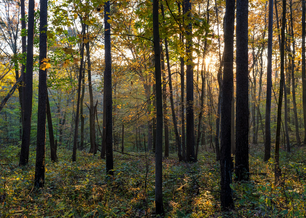 Photo: Wayne National Forest, Public Domain Mark (via Flickr)
Corps Tour
~2 min drive
3.54-mile out-and-back trail in Ohio with 435 ft elevation gain.
 Photo: Wayne National Forest, Public Domain Mark (via Flickr)
Wild Turkey
~3 min drive
9.59-mile out-and-back trail in Ohio with 991 feet of elevation gain.
Photo: Wayne National Forest, Public Domain Mark (via Flickr)Thrillium
Next door
2.70-mile out-and-back trail in Ohio with 395 ft elevation gain.
 Photo: Wayne National Forest, Public Domain Mark (via Flickr)
Star Brick
~2 min drive
4.57-mile out-and-back trail in Ohio with 827 ft elevation gain.
Photo: Wayne National Forest, Public Domain Mark (via Flickr)Pig Iron
~3 min drive
14.32-mile out-and-back trail in Ohio with 943 ft elevation gain.

