Detour for Oet Towpath
- 2.4 mi
- one way
- 180 ft
- climb
- 912 ft
- high point
- Point to point
- route
- Apr–Oct
- best months
Detour for Oet Towpath is a 2.4-mile point-to-point hike on the Ohio and Erie Canal Towpath Trail in Ohio, a city-managed route that links with the broader canal towpath network. The trail runs from about 798 feet up to roughly 912 feet, with a total climb of 180 feet and a total descent of 207 feet along the way. The steepest stretch comes at about 0.37 miles in, where the grade reaches 11 percent. The route is rated easy, and the trip is estimated to take about an hour. Bikes are allowed, so it works as a ride as well as a walk. For comfortable weather, aim for late spring or early fall. Typical averages from a nearby weather station in Stow show highs around 70°F in May and 74°F in September, while July highs reach about 82°F. Cuyahoga Falls Gorge and the Cuyahoga River, both within about 2 miles, offer climbing and paddling. The Nuthatch Trail and the Seneca Trail, roughly 3 miles away, are other hiking options.
- Cuyahoga Falls GorgeRock climbing1.8 mi
 Cuyahoga RiverCanoeingPhoto: Tim Evanson, CC BY-SA 2.0 (via Wikimedia Commons)1.9 mi
- Cuyahoga Falls GlensRock climbing2.9 mi
- Left sideRock climbing2.9 mi
 Nuthatch TrailHikingPhoto: RuggyBearLA, CC BY-SA 2.0 (via Flickr)3.2 mi
- Seneca TrailHikingPhoto: RuggyBearLA, CC BY-SA 2.0 (via Flickr)3.4 mi
- C LoopHiking3.5 mi
- Yellow CreekCanoeing6.6 mi
Source: Roamze catalog (indexable pages within 10 miles, PostGIS distance)
- Nuthatch TrailHiking · ~5 min drivePhoto: RuggyBearLA, CC BY-SA 2.0 (via Flickr)
 Bike & Hike TrailHiking · ~21 min drivePhoto: david_e_waldron, Public Domain Dedication (CC0) (via Flickr)
 Buckeye Trail (Medina)Hiking · ~25 min drivePhoto: Rob Norris, CC0 (via Wikimedia Commons)
- Seneca TrailHiking · ~6 min drivePhoto: RuggyBearLA, CC BY-SA 2.0 (via Flickr)
- Buckeye Trail (Mogadore)Hiking · ~24 min drive
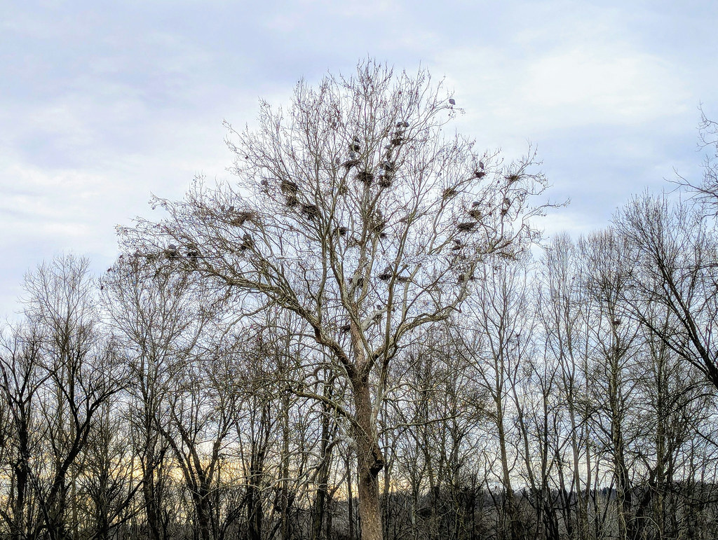 Adam Run TrailHiking · ~8 min drivePhoto: david_e_waldron, Public Domain Dedication (CC0) (via Flickr)
- Buckeye Trail (Akron)Hiking · ~30 min drive
 Deer Run TrailHiking · ~10 min drivePhoto: ShanMcG213, CC BY-SA 2.0 (via Flickr)
 Indigo LakeHiking · ~12 min drivePhoto: david_e_waldron, Public Domain Dedication (CC0) (via Flickr)
 Valley Bridle TrailHiking · ~13 min drivePhoto: david_e_waldron, Public Domain Dedication (CC0) (via Flickr)
Best time to visit Detour for Oet Towpath
Best months: April–October. Best months have typical highs of 55–85 °F, lows of 30 °F or warmer (32 °F where the station doesn't record snow), at most one snowy day and no more than 12 wet days.
Jan
33° / 18°
Feb
36° / 19°
Mar
46° / 25°
Apr
60° / 37°
May
70° / 47°
Jun
78° / 56°
Jul
82° / 60°
Aug
81° / 59°
Sep
74° / 52°
Oct
61° / 41°
Nov
49° / 32°
Dec
39° / 24°
Typical high / low (°F) and days with rain or snow, 1991–2020. Measured at Stow 4 Se, OH, 4.6 mi away at 1,060 ft. This station doesn't record snowfall. Source: NOAA NCEI U.S. Climate Normals 1991–2020.
Map and trail data © OpenStreetMap contributors
