Seneca Trail
 Photo: RuggyBearLA, CC BY-SA 2.0 (via Flickr)
- 0.9 mi
- one way
- 133 ft
- climb
- 1,025 ft
- high point
- Point to point
- route
- Apr–Oct
- best months
The Seneca Trail is an easy hike of about 0.9 miles in Seiberling Nature Realm, a regional agency land unit in Ohio. It is a short, low-effort outing, with a one-way climb of 133 feet to a high point of 1,025 feet, and it works well as a quick stop for anyone exploring the surrounding network of trails and waterways. The trail is a point-to-point route rather than a loop. It has a back-loaded profile, meaning the steepest part comes near the end. The steepest stretch is at about 0.7 miles, with a grade of 12 percent, and the trail ends with a net loss of 245 feet from its high point. For comfortable weather, late spring and early fall are the best bets. Typical averages from a nearby weather station in Stow run to highs around 70°F in May and 74°F in September. Winters there are cold, with January highs near 33°F. Several other trails start close by. Nuthatch Trail is about 0.4 miles away, and D Loop and C Loop are both within roughly a mile and a half. Paddlers can head to Yellow Creek, about 3.5 miles off.
Best time to go · Apr–Oct
Best time to visit Seneca Trail
Best months: April–October. Best months have typical highs of 55–85 °F, lows of 30 °F or warmer (32 °F where the station doesn't record snow), at most one snowy day and no more than 12 wet days.
Jan
33° / 18°
Feb
36° / 19°
Mar
46° / 25°
Apr
60° / 37°
May
70° / 47°
Jun
78° / 56°
Jul
82° / 60°
Aug
81° / 59°
Sep
74° / 52°
Oct
61° / 41°
Nov
49° / 32°
Dec
39° / 24°
Typical high / low (°F) and days with rain or snow, 1991–2020. Measured at Stow 4 Se, OH, 6.5 mi away at 1,060 ft. This station doesn't record snowfall. Source: NOAA NCEI U.S. Climate Normals 1991–2020.
Keep exploring — more trails worth the drive
Photo: RuggyBearLA, CC BY-SA 2.0 (via Flickr)Nuthatch Trail
Next door
A gentle 2.13-mile point-to-point woodland trail in Ohio.
 Photo: david_e_waldron, Public Domain Dedication (CC0) (via Flickr)
Bike & Hike Trail
~17 min drive
21.3-mile out-and-back trail in Ohio with 283 ft elevation gain.
 Photo: Rob Norris, CC0 (via Wikimedia Commons)
Buckeye Trail (Medina)
~20 min drive
55.83-mile point-to-point trail in Ohio with 1,662 ft elevation gain.
 Photo: ShanMcG213, CC BY-SA 2.0 (via Flickr)
Deer Run Trail
~4 min drive
1.1-mile out-and-back trail in Ohio with 211 ft of elevation gain.
 Photo: david_e_waldron, Public Domain Dedication (CC0) (via Flickr)
Indigo Lake
~6 min drive
1.38-mile out-and-back trail to Indigo Lake in Ohio.
 Photo: david_e_waldron, Public Domain Dedication (CC0) (via Flickr)
Valley Bridle Trail
~8 min drive
6.0-mile out-and-back trail in Ohio with 192 ft of elevation gain.
 Photo: RuggyBearLA, CC BY 2.0 (via Flickr)
Riding Run Trail
~8 min drive
1.94-mile out-and-back trail in Ohio with 194 ft elevation gain.
 Photo: david_e_waldron, Public Domain Dedication (CC0) (via Flickr)
Furnas Run Trail
~9 min drive
1.82-mile loop trail in Ohio with 252 ft of elevation gain.
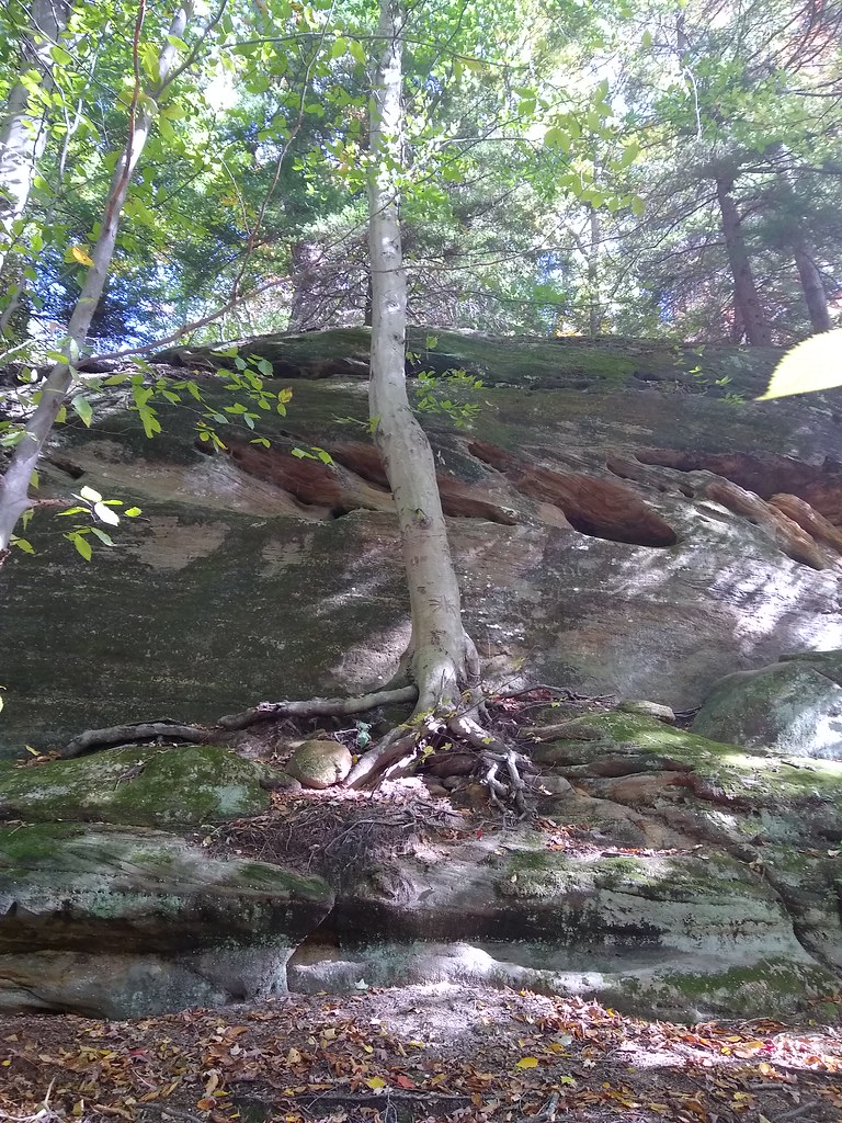 Photo: reynolds.james.e, CC BY 2.0 (via Flickr)
Kendall Lake Connectors
~10 min drive
1.64-mile out-and-back trail at Kendall Lake in Ohio with 46 feet of elevation gain.
 Photo: daveynin, CC BY 2.0 (via Flickr)
Salt Run Trail
~10 min drive
3.29-mile point-to-point trail in Ohio with 709 ft elevation gain.

Map and trail data © OpenStreetMap contributors
