A Loop
- 0.2 mi
- loop
- 934 ft
- high point
- Loop
- route
- Easy
- difficulty
- Apr–Oct
- best months
A Loop is a short, easy hike in the Hampton Hills Mountain Bike Area, a city-managed land unit in Ohio. The route is a loop of about 0.21 miles, and it sits at roughly 930 feet, with the high point at 934 feet and the low at 917 feet. The climb is flat, with no elevation gain, and the steepest stretch comes at about 0.15 miles in, with a grade of about 2 percent. Late spring and early fall are the most comfortable times to go. Typical averages from a nearby weather station in Stow run to highs around 70°F in May and 74°F in September, while January highs average about 33°F. B Loop and C Loop are each about 0.1 miles away, and D Loop is about 0.3 miles off. Farther out, the Cuyahoga Falls Gorge climbing area is about 3 miles away.
Best time to go · Apr–Oct
Best time to visit A Loop
Best months: April–October. Best months have typical highs of 55–85 °F, lows of 30 °F or warmer (32 °F where the station doesn't record snow), at most one snowy day and no more than 12 wet days.
Jan
33° / 18°
Feb
36° / 19°
Mar
46° / 25°
Apr
60° / 37°
May
70° / 47°
Jun
78° / 56°
Jul
82° / 60°
Aug
81° / 59°
Sep
74° / 52°
Oct
61° / 41°
Nov
49° / 32°
Dec
39° / 24°
Typical high / low (°F) and days with rain or snow, 1991–2020. Measured at Stow 4 Se, OH, 5.5 mi away at 1,060 ft. This station doesn't record snowfall. Source: NOAA NCEI U.S. Climate Normals 1991–2020.
Keep exploring — more trails worth the drive
 Photo: RuggyBearLA, CC BY-SA 2.0 (via Flickr)
Nuthatch Trail
~2 min drive
A gentle 2.13-mile point-to-point woodland trail in Ohio.
 Photo: david_e_waldron, Public Domain Dedication (CC0) (via Flickr)
Bike & Hike Trail
~15 min drive
21.3-mile out-and-back trail in Ohio with 283 ft elevation gain.
 Photo: Rob Norris, CC0 (via Wikimedia Commons)
Buckeye Trail (Medina)
~19 min drive
55.83-mile point-to-point trail in Ohio with 1,662 ft elevation gain.
Photo: RuggyBearLA, CC BY-SA 2.0 (via Flickr)Seneca Trail
~3 min drive
0.91-mile point-to-point trail in Ohio with 181 ft gain and 245 ft loss.
 Photo: ShanMcG213, CC BY-SA 2.0 (via Flickr)
Deer Run Trail
~4 min drive
1.1-mile out-and-back trail in Ohio with 211 ft of elevation gain.
 Photo: david_e_waldron, Public Domain Dedication (CC0) (via Flickr)
Indigo Lake
~6 min drive
1.38-mile out-and-back trail to Indigo Lake in Ohio.
 Photo: david_e_waldron, Public Domain Dedication (CC0) (via Flickr)
Valley Bridle Trail
~7 min drive
6.0-mile out-and-back trail in Ohio with 192 ft of elevation gain.
 Photo: david_e_waldron, Public Domain Dedication (CC0) (via Flickr)
Furnas Run Trail
~8 min drive
1.82-mile loop trail in Ohio with 252 ft of elevation gain.
 Photo: RuggyBearLA, CC BY 2.0 (via Flickr)
Riding Run Trail
~8 min drive
1.94-mile out-and-back trail in Ohio with 194 ft elevation gain.
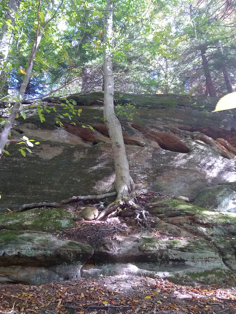 Photo: reynolds.james.e, CC BY 2.0 (via Flickr)
Kendall Lake Connectors
~8 min drive
1.64-mile out-and-back trail at Kendall Lake in Ohio with 46 feet of elevation gain.

Map and trail data © OpenStreetMap contributors
