Salt Fork Group Campground
- Yes
- fee
- Jun–Oct
- best months
- At 851 ft
- Salt Fork State Park
Salt Fork Group Campground is a campground in Ohio at about 851 feet. It is managed by the state natural resources department.
- Sugartree ForkCanoeing2.7 mi
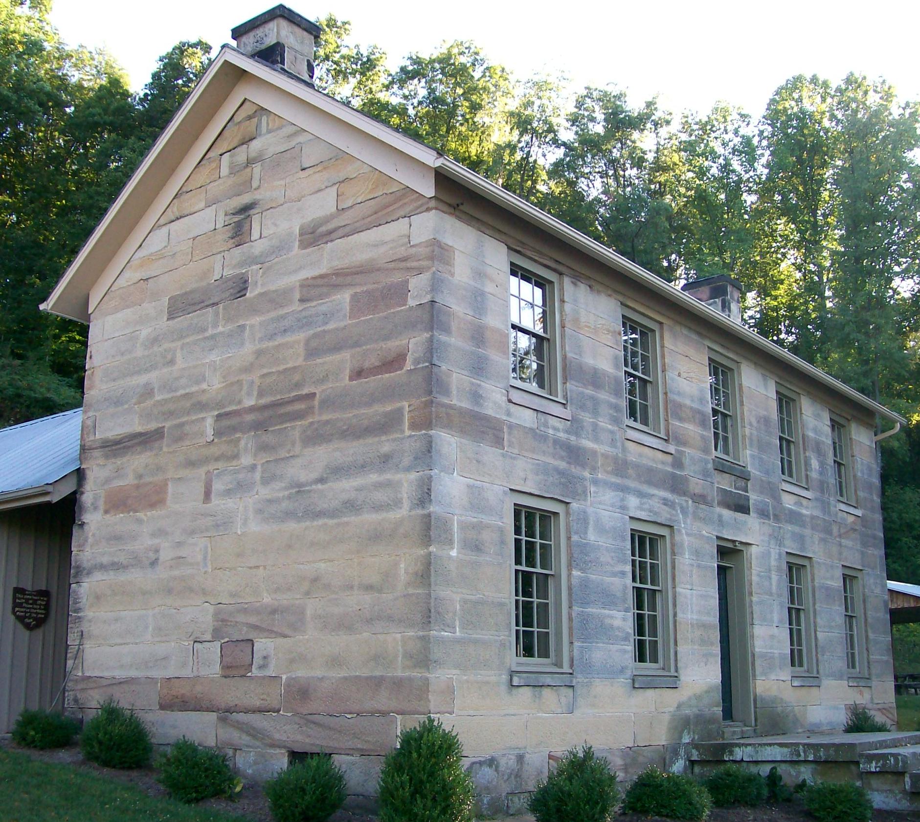 Salt Fork State ParkState parkPhoto: Bwsmith84 at en.wikipedia, CC BY 3.0 (via Wikimedia Commons)3 mi
- Horseman's CampCamping3 mi
- Grassman BouldersRock climbing3.6 mi
- Font ClusterRock climbing3.6 mi
- Hill Top AreaRock climbing3.7 mi
- Cabin BouldersRock climbing4.4 mi
- Pine Crest Trail Boulders aka Lakeside BouldersRock climbing4.5 mi
Source: Roamze catalog (indexable pages within 10 miles, PostGIS distance)
 Ring MillCamping · ~1h 5m drivePhoto: Wayne National Forest — Public Domain Mark 1.0 (via Flickr)
- Horseman's CampCamping · ~5 min drive
- Spring Valley CampgroundCamping · ~18 min drive
- Marina Point CampgroundCamping · ~20 min drive
- Seneca Lake Parkside CampgroundCamping · ~21 min drive
- Seneca Lake Park CampgroundCamping · ~22 min drive
- Seneca Lake Parkside Central CampgroundCamping · ~22 min drive
- Seneca Lake Woodlands CampgroundCamping · ~23 min drive
- Skyline RV ResortCamping · ~23 min drive
- Buffalo Hills RV ResortCamping · ~25 min drive
Best time to visit Salt Fork Group Campground
Best months: June–October. Best months have typical highs of 55–85 °F, lows of 30 °F or warmer (32 °F where the station doesn't record snow), at most one snowy day and no more than 12 wet days.
Jan
38° / 21°
13 wet
Feb
42° / 23°
11 wet
Mar
53° / 30°
12 wet
Apr
66° / 40°
13 wet
May
75° / 50°
13 wet
Jun
82° / 58°
12 wet
Jul
85° / 63°
11 wet
Aug
84° / 61°
9 wet
Sep
78° / 54°
9 wet
Oct
66° / 42°
10 wet
Nov
53° / 33°
10 wet
Dec
42° / 26°
12 wet
Typical high / low (°F) and days with rain or snow, 1991–2020. Measured at Cambridge, OH, 9.2 mi away at 800 ft. This station doesn't record snowfall. Source: NOAA NCEI U.S. Climate Normals 1991–2020.
Map and trail data © OpenStreetMap contributors
