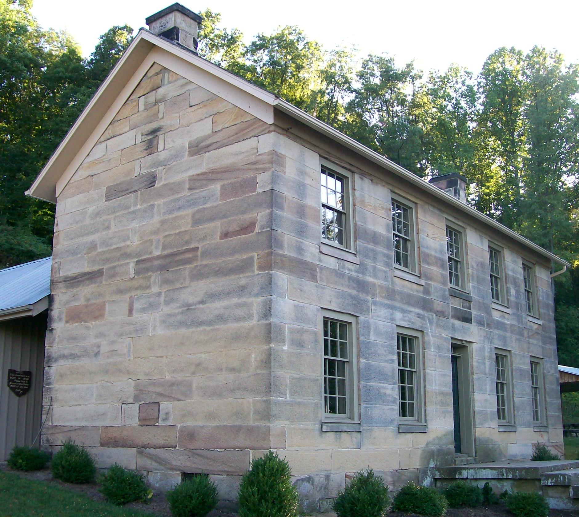
Salt Fork State Park
About
Salt Fork State Park is a state park in eastern Ohio, managed by the State Department of Natural Resources and located about 5 miles from the town of Kimbolton. Late spring and early fall tend to be the most comfortable times to visit. Typical averages from the nearby Cambridge weather station run to highs of about 75°F in May and 78°F in September, with lows in the 50s. Midsummer is warmer, with July highs around 85°F. Horseman's Camp sits just 0.3 miles away. Climbers can head to Grassman Boulders and Font Cluster, each about 0.7 miles off. Paddlers will find Sugartree Fork roughly 3 miles away.
Park size
20,691 acres
Inside this park
Location
Salt Fork State Park
Ohio
Data source: USGS PAD-US 4.1 (Protected Areas Database, public domain)
Facts about this place
When to go
Best time to go: Apr–Oct. The mildest months here, with typical highs of 66–85°F and lows of 40–63°F.
Typical monthly averages (not a forecast) from the Cambridge, OH weather station, 8.5 mi away. High / low in °F.
- Jan38° high21° low
- Feb42° high23° low
- Mar53° high30° low
- Apr66° high40° low
- May75° high50° low
- Jun82° high58° low
- Jul85° high63° low
- Aug84° high61° low
- Sep78° high54° low
- Oct66° high42° low
- Nov53° high33° low
- Dec42° high26° low
Where it is
- Salt Fork State Park · State park
- Nearest town
- Kimbolton, Ohio · 4.8 mi
- Managed by
- State Department of Natural Resources
Nearby
- Horseman's CampCamping0.3 mi
- Grassman BouldersRock climbing0.7 mi
- Font ClusterRock climbing0.7 mi
- Hill Top AreaRock climbing1.6 mi
- Cabin BouldersRock climbing1.7 mi
- Pine Crest Trail Boulders aka Lakeside BouldersRock climbing1.8 mi
- Morgan's Knob Boulders (FKA Diving Board Boulders)Rock climbing2 mi
- Sugartree ForkCanoeing3.2 mi
Source: Roamze catalog (indexable pages within 10 miles, PostGIS distance)
