Mountains-to-Sea Trail
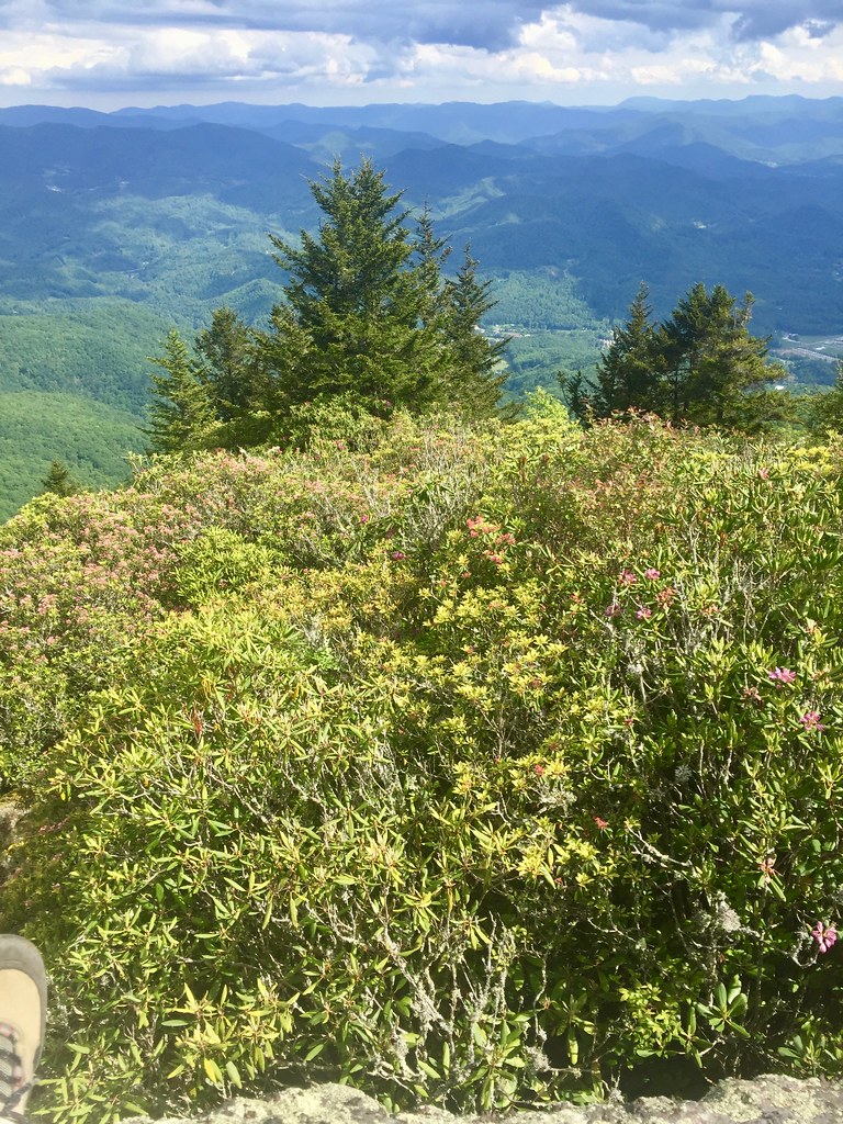
 Photo: 5chw4r7z, CC BY-SA 2.0 (via Flickr)
- 8.9 mi
- round trip
- 5,191 ft
- climb
- 5,526 ft
- high point
- Out and back
- route
Is Mountains-to-Sea Trail open right now?
No closures listed
The National Park Service lists no closures for Blue Ridge Parkway.
As of · Source: NPS · Blue Ridge Parkway. Agencies don't list every closure — check before you go.
The Mountains-to-Sea Trail is a long, steep out-and-back on the Blue Ridge Parkway in North Carolina, managed by the National Park Service. The route is about 18 miles long, and the climb is front-loaded, with the high point at 5,526 feet. The trail gains about 5,191 feet in elevation over the course of the trip, and the steepest stretch comes just over a mile from the start, where the grade reaches 33 percent. The round trip returns to the same starting point, so you will retrace your steps on the way down. The route begins and ends at about 3,498 feet. With that much elevation to gain and lose, plan on a full day. The estimated trip time is about 8.5 hours. Several other trails lie within a few miles. The Plott Balsam Trail is about 3 miles away, and the Lyn Lowry Trail and Waterrock Knob Trail are both within about 5 miles. Paddlers can head to Scott Creek, roughly 7 miles off.
Local outfitters
- Panther Creek Outfitters Horseback Rides15 mi away
- Headwaters Outfitters24 mi away
Not on Roamze yet. Their page has how to reach them.
Conditions and forecast on Wesner Bald
Daily highs and lows, wind and the chance of precipitation at the summit and route start for the next 7 days, from the Open-Meteo model.
- Plott Balsam TrailHiking3.2 mi
 Lyn Lowry TrailHikingPhoto: pseabolt, CC BY 3.0 (via Wikimedia Commons)4.3 mi
- Browning Knob TrailHikingPhoto: pseabolt, CC BY 3.0 (via Wikimedia Commons)4.6 mi
 Waterrock Knob TrailHikingPhoto: pseabolt, CC BY 3.0 (via Wikimedia Commons)4.7 mi
- Mysterious Cabin LoopHiking5.6 mi
- Scott CreekCanoeing6.9 mi
Source: Roamze catalog (indexable pages within 10 miles, PostGIS distance)
 Mountains-to-Sea TrailHiking · ~2 min drivePhoto: Aaron Morgan, CC BY-SA 3.0 (via Wikimedia Commons)
- Plott Balsam TrailHiking · ~6 min drivePhoto: pseabolt, CC BY 3.0 (via Wikimedia Commons)
 Mountains-to-Sea TrailHiking · ~11 min drivePhoto: Dallas Epperson, CC BY-SA 3.0 (via Wikimedia Commons)
 East Fork TrailHiking · ~12 min drivePhoto: w_lemay, Public Domain Dedication (CC0) (via Flickr)
- Mountains-to-Sea TrailHiking · ~5 min drivePhoto: Aaron Morgan, CC BY-SA 3.0 (via Wikimedia Commons)
- Lyn Lowry TrailHiking · ~7 min drivePhoto: pseabolt, CC BY 3.0 (via Wikimedia Commons)
- Hemphill Bald TrailHiking · ~16 min drive
 West Fork TrailHiking · ~13 min drivePhoto: w_lemay, Public Domain Dedication (CC0) (via Flickr)
- Waterrock Knob TrailHiking · ~8 min drivePhoto: pseabolt, CC BY 3.0 (via Wikimedia Commons)
- Browning Knob TrailHiking · ~8 min drivePhoto: pseabolt, CC BY 3.0 (via Wikimedia Commons)
Also worth it near here
 Mount Lyn LowrySummit · ~6 min drivePhoto: Thomson200, CC0 (via Wikimedia Commons)
 Sunburst CampgroundCamping · ~14 min drivePhoto: Thomson200, CC0 (via Wikimedia Commons)
- Cataloochee Ski AreaDownhill skiing · ~15 min drive
 Pigeon RiverCanoeing · ~19 min drivePhoto: ChristopherM, CC BY-SA 3.0 (via Wikimedia Commons)
Route details
- Distance
- 8.9 mi round trip
- Climbing
- About 5,191 ft
- Summit
- 5,643 ft
- Difficulty
- Expert
- Time
- About 4.5 hours
Questions about this route
How long is the Mountains-to-Sea Trail on Wesner Bald?
About 8.9 mi round trip.
How much elevation gain is on the Mountains-to-Sea Trail?
About 5,191 ft of climbing round trip.
How hard is the Mountains-to-Sea Trail?
It is rated expert.
How long does the Mountains-to-Sea Trail take?
About 4.5 hours round trip.
Map and trail data © OpenStreetMap contributors
