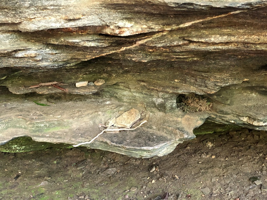
Ship Rock
Ship Rock in North Carolina has 2 trad climbing routes.
- 2 routes
- 5.8 – 5.10d
- Trad
Is Ship Rock open right now?
Closure in the area
There's a closure order in National Forests in North Carolina. It doesn't name Ship Rock, so check the source for the area it covers (2 listed).
Rainbow Springs Road closed for reconstruction
Agency closure covering National Forests in North Carolina · USFS · National Forests in North Carolina
Closures in anticipation of Hurricane Isaias
Agency closure covering National Forests in North Carolina · USFS · National Forests in North Carolina
Siddie Fields Day Use Area closed for improvements
Agency alert covering National Forests in North Carolina · USFS · National Forests in North Carolina
Pisgah National Forest Driving Safety Alert
Agency alert covering National Forests in North Carolina · USFS · National Forests in North Carolina
As of · Source: USFS · National Forests in North Carolina. Agencies don't list every closure — check before you go.
Best time to visit Ship Rock
Best months: March–April and September–November. Best months have typical highs of 55–85 °F, lows of 30 °F or warmer (32 °F where the station doesn't record snow), at most one snowy day and no more than 12 wet days.
Jan
49° / 26°
11 wet
Feb
53° / 28°
10 wet
Mar
60° / 34°
12 wet
Apr
69° / 41°
12 wet
May
75° / 50°
13 wet
Jun
81° / 58°
15 wet
Jul
84° / 62°
16 wet
Aug
83° / 61°
16 wet
Sep
78° / 55°
12 wet
Oct
70° / 43°
10 wet
Nov
61° / 33°
9 wet
Dec
52° / 28°
11 wet
Typical high / low (°F) and days with rain or snow, 1991–2020. Measured at Pisgah Forest 3 Ne, NC, 3 mi away at 2,190 ft. This station doesn't record snowfall. Source: NOAA NCEI U.S. Climate Normals 1991–2020.
Ship Rock is a climbing area in the Pisgah Ranger District of the National Forests in North Carolina, about 1.3 miles from Yuto's Trail and 1.4 miles from Ashton's Trail. The area holds two traditional climbing routes, Jam Scam at 5.8 and Stretch or Sketch at 5.10d, both rated for trad climbers. Spring and fall are the most comfortable times to visit. Typical averages from a nearby weather station run from highs around 69°F in April to 70°F in October, with July the warmest month at about 84°F. Winter highs sit in the upper 40s. Other nearby spots include the Davidson River for fishing, about 3.3 miles away, and Sycamore Flats Picnic Shelter for camping, about 3.5 miles away. East Slate Rock, a climbing area about 6.2 miles off, and Hidden Wall, about 6.9 miles away, offer more rock.
Routes (2)
Lower Tier(2)
Keep exploring — more climbs worth the drive
 Photo: jasonferrell, CC BY 2.0 (via Flickr)
Hidden Wall
~12 min drive
Hidden Wall is a North Carolina climbing crag with 11 routes.
 Photo: ninepennies, CC BY-SA 2.0 (via Flickr)
North Side
~12 min drive
North Side in North Carolina has 40 climbing routes across 24 grades, offering mixed and traditional styles.
Photo: ninepennies, CC BY-SA 2.0 (via Flickr)Northside Boulders
~12 min drive
Northside Boulders in North Carolina has 18 bouldering routes.
Photo: jasonferrell, CC BY 2.0 (via Flickr)South Side
~12 min drive
South Side in North Carolina has 28 climbing routes with mixed and trad styles.
Photo: ninepennies, CC BY-SA 2.0 (via Flickr)Nose Area
~12 min drive
Nose Area in North Carolina has 12 climbing routes across 11 grades, offering sport and trad climbing.
 Photo: Osajus Photography, CC BY 2.0 (via Flickr)
Sun Wall
~12 min drive
Sun Wall in North Carolina has 22 climbing routes across 13 grades.
Photo: Osajus Photography, CC BY 2.0 (via Flickr)Looking Glass Boulders
~12 min drive
Looking Glass Boulders in North Carolina has 4 bouldering routes.
 Photo: Dallas Epperson, CC BY-SA 3.0 (via Wikimedia Commons)
Pumpkintown
~32 min drive
Pumpkintown in South Carolina has 4 sport climbing routes with 3 difficulty grades.
Photo: Dallas Epperson, CC BY-SA 3.0 (via Wikimedia Commons)Knobtopia Wall (Main Wall right of Center Buttress)
~32 min drive
Knobtopia Wall (Main Wall right of Center Buttress) is a climbing area in South Carolina with 6 routes.
Photo: Dallas Epperson, CC BY-SA 3.0 (via Wikimedia Commons)Main Wall Left of Center Buttress
~32 min drive
Main Wall Left of Center Buttress in South Carolina has 14 climbing routes.