Youth Group Campground
Campground
Campground · 4.0 mi from the trail
Clear at last check
Weather is good · OpenWeather · checked 14 h ago
Penrose River Access is a boat launch in western North Carolina, managed by the NC Wildlife Resources Commission. It sits about 0.3 miles from the community of Penrose. Typical averages from a nearby weather station at Pisgah Forest show mild conditions for much of the year. April runs highs near 69°F and lows around 41°F. May warms to about 75°F by day. Summer is the warmest and wettest stretch: July averages highs near 84°F and lows around 62°F, with about 16 wet days. June and August are similar. September and October cool to highs of about 78°F and 70°F and turn somewhat drier, with October averaging around 10 wet days. Winter is cold, with January highs near 49°F and lows around 26°F, so spring through fall is the more comfortable window for getting on the water. Several other outings lie within a few miles. Crab Creek offers canoeing about 3.2 miles away, and the Davidson River fishing access is about 3.5 miles out. Climbers can head to Ship Rock, roughly 3.4 miles off. Hikers have the Crab Creek Trail at about 3.8 miles.
Youth Group Campground
Campground
 If it rainsMx. Granger, CC0 · Wikimedia Commons
Places © OpenStreetMap contributors · Photos: Mx. Granger, CC0 (commons)
More in Hendersonville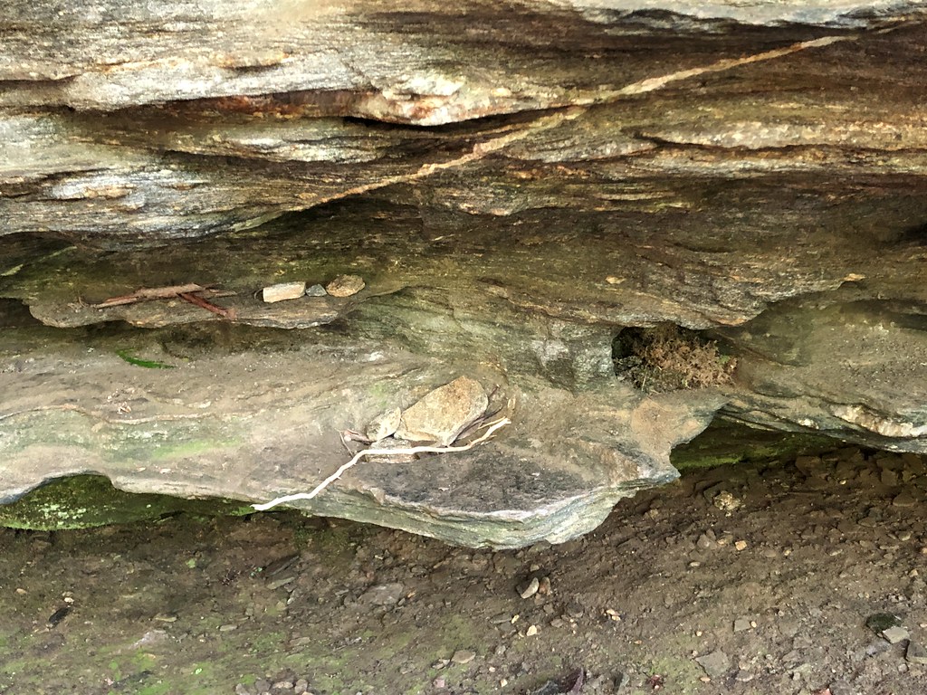 Yuto's TrailHikingPhoto: mebrett, CC BY 2.0 (via Flickr)4 mi
 Hidden WallRock climbingPhoto: jasonferrell, CC BY 2.0 (via Flickr)8.8 mi
Source: Roamze catalog (indexable pages within 10 miles, PostGIS distance)
 Pigeon RiverCanoeing · ~36 min drivePhoto: ChristopherM, CC BY-SA 3.0 (via Wikimedia Commons)
Best months: March–April and September–November. Best months have typical highs of 55–85 °F, lows of 30 °F or warmer (32 °F where the station doesn't record snow), at most one snowy day and no more than 12 wet days.
Jan
49° / 26°
11 wet
Feb
53° / 28°
10 wet
Mar
60° / 34°
12 wet
Apr
69° / 41°
12 wet
May
75° / 50°
13 wet
Jun
81° / 58°
15 wet
Jul
84° / 62°
16 wet
Aug
83° / 61°
16 wet
Sep
78° / 55°
12 wet
Oct
70° / 43°
10 wet
Nov
61° / 33°
9 wet
Dec
52° / 28°
11 wet
Typical high / low (°F) and days with rain or snow, 1991–2020. Measured at Pisgah Forest 3 Ne, NC, 0.7 mi away at 2,190 ft. This station doesn't record snowfall. Source: NOAA NCEI U.S. Climate Normals 1991–2020.
Map and trail data © OpenStreetMap contributors
